Predazzo
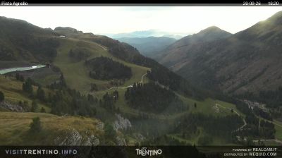
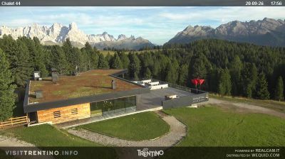
ライブカメラ

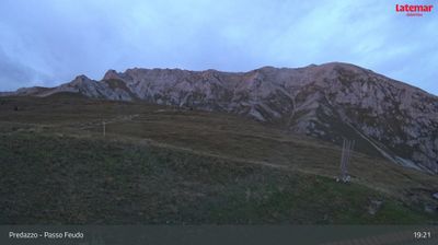
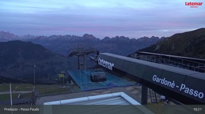
営業中のリフト: 0/18
積雪情報
- 過去24時間: 0 cm
- 過去72時間: 0 cm
- 過去7日間: 0 cm
- 過去7日間: 山麓 0cm · 中腹 0cm · 山頂 0cm
- シーズン累計: 0.4 cm
About Predazzo
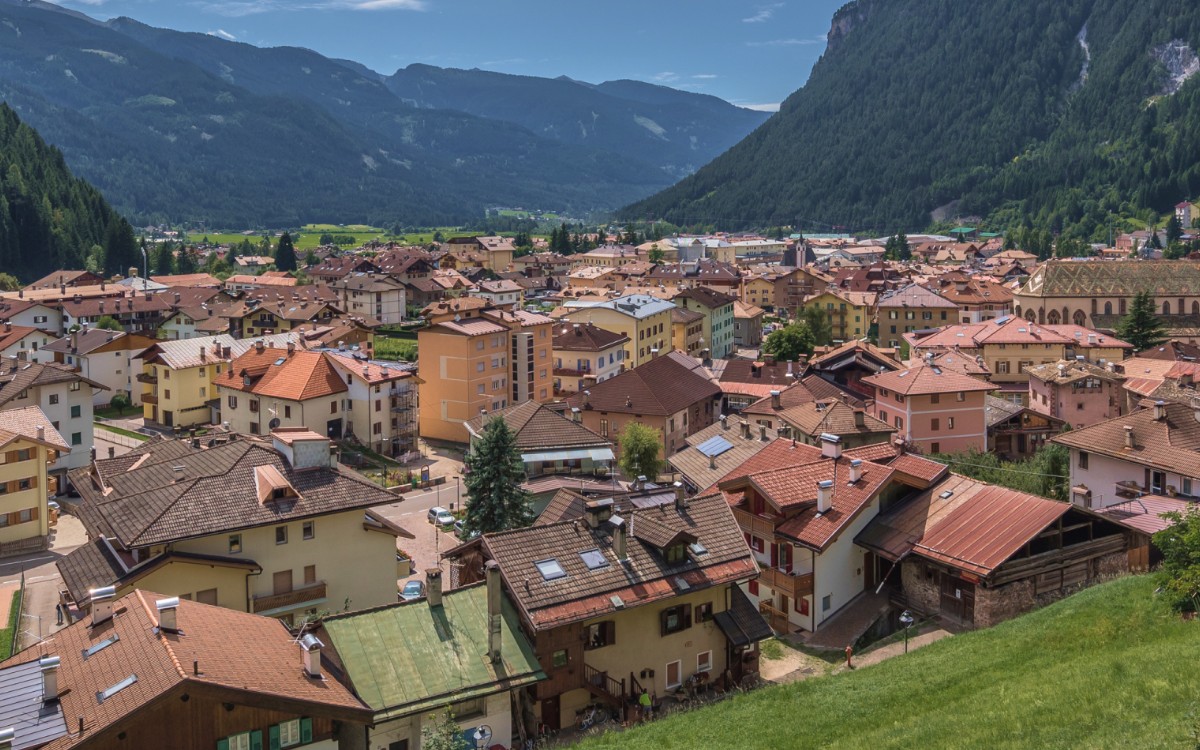
A geological crossroads where Fiemme tradition meets Dolomite peaks, defined by its storied ski jumping history and quiet ladin charm.
Highlights
- Olympic jumping legacy
- Fossil-rich geology
- Traditional woodcraft
- Dolomite gateway
Key Facts
- Altitude: 1016m
- Top lift: 2388m
- Ski pistes: 49km
- Ski lifts: 18
- Population: 4,200
- Lakes nearby: 20
- MTB trails: 22.5km
- Mountain huts: 34
Ski Area
この目的地が含まれるシーズンパス
Weather and 10-day forecast for Predazzo
- Today: 8 to 18 °C, overcast, 2 h of sunshine
- Freezing level today: about 3780 m (3250 to 4130 m)
| Day | Min / max | Sky | Precipitation | Sunshine |
|---|---|---|---|---|
| 9月21日(月) | 8 / 18 °C | overcast | dry | 2 h sun |
| 9月22日(火) | 3 / 15 °C | clear sky | dry | 12 h sun |
| 9月23日(水) | 1 / 13 °C | partly cloudy | dry | 6 h sun |
| 9月24日(木) | 2 / 12 °C | clear sky | dry | 9 h sun |
| 9月25日(金) | -2 / 13 °C | clear sky | dry | 10 h sun |
| 9月26日(土) | 9 / 18 °C | partly cloudy | dry | 7 h sun |
| 9月27日(日) | 7 / 15 °C | partly cloudy | dry | 4 h sun |
| 9月28日(月) | 7 / 19 °C | clear sky | dry | 11 h sun |
| 9月29日(火) | 9 / 19 °C | partly cloudy | dry | 6 h sun |
| 9月30日(水) | 8 / 18 °C | clear sky | dry | 9 h sun |
Things to do in Predazzo
Hikes nearby — Predazzo (16)
16 curated hiking trails around Predazzo, sourced from OpenStreetMap and enriched with distance, elevation gain and difficulty.
-
Sentiero di Cece e di Miesnotta
-
Sentiero di Mulat
-
Sentiero Maresciallo "Giuseppe Farneti"
-
Sentiero di Pelenzana e del Dos Capèl
The Geotrail Dos Capèl winds through the geology of the Dolomites at around 2,200 m, passing themed stations where walkers can examine rocks and plants shaped by vanished seas and ancient volcanoes. The long route climbs to the summit of Dos Capèl itself, rewarding hikers with a panoramic view of the Dolomites, while the short route is designed to be inclusive, with visual, tactile, and audio content accessible to visually and cognitively disabled visitors.
-
Sentiero di Sacina e Pelenzana
-
Scritte dei Pastori
-
Sentiero attrezzato di Val Averta
-
Sentiero delle Pozze
-
Sentiero del Passo Feudo
-
Troso de la Mandrolina
-
Sentiero attrezzato Attilio Sieff
The Sentiero Attrezzato Attilio Sieff is a south-facing via ferrata in the Val di Fiemme, secured throughout by a taut wire cable, climbing from the valley floor at Ziano di Fiemme up to the rocky summit of Punta Polsa at 1,450 m. Its southern orientation keeps the route clear of snow early in spring and well into autumn.
-
Troso de Cornon
-
Dolomites World Heritage Geotrail 8
-
Dolomites World Heritage Geotrail 7
-
Troi de la Scontrada Ladina
-
Führersteig
Mountain biking near Predazzo
- Strada forestale Campigol Vèce Sacina (RF)
- Strada di Valmaggiore
- Via Sadole
- Strada forestale Cros del Giacinto
Getting to Predazzo
Door-to-door travel times as used by the MR. ALPS ranking.
- Nearest airport: Innsbruck Airport (INN), 107 km away, about 2h38 by road
- Bolzano - Bozen: 55 min by car, 47 km
- Trento: 1h07 by car, 77 km
- Verona: 2h05 by car, 172 km
- Innsbruck: 2h22 by car, 162 km
- Brescia: 2h35 by car, 208 km
- Padova: 2h37 by car, 149 km
Where to stay in Predazzo
200 places to stay for a night on 2026-09-25, from 119 EUR per night, median 246 EUR. Prices are direct with hotels and destinations, compared live on the Predazzo page.