Pelvoux/Vallouise
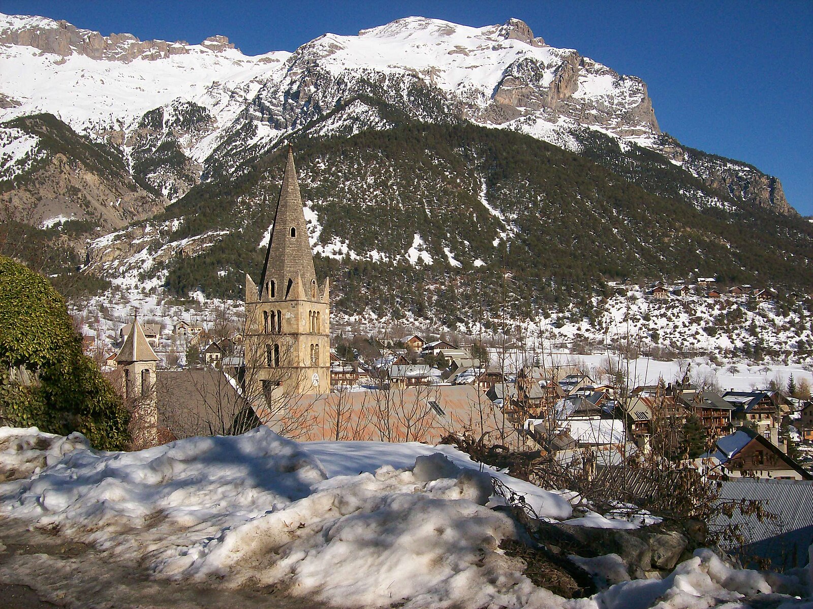
ライブカメラ


営業中のリフト: 0/7
積雪情報
- 過去24時間: 0 cm
- 過去72時間: 0 cm
- 過去7日間: 0 cm
- 過去7日間: 山麓 0cm · 中腹 0cm · 山頂 0cm
- シーズン累計: 0 cm
About Pelvoux/Vallouise
A rugged gateway to the Écrins, where mountaineering purists and ice climbers trade luxury for raw, high-altitude wilderness.
Highlights
- Untamed national park
- Technical ice climbing
- Authentic stone hamlets
- Backcountry ski touring
Key Facts
- Altitude: 1200m
- Top lift: 2222m
- Ski pistes: 15.9km
- Ski lifts: 7
- Population: 1,133
- 4000m+ peaks nearby: 2
- Lakes nearby: 3
- MTB trails: 98.7km
- Mountain huts: 23
Ski Area
Weather and 10-day forecast for Pelvoux/Vallouise
- Today: 11 to 23 °C, partly cloudy, 4 h of sunshine
- Freezing level today: about 4562 m (4380 to 4770 m)
| Day | Min / max | Sky | Precipitation | Sunshine |
|---|---|---|---|---|
| 9月21日(月) | 11 / 23 °C | partly cloudy | dry | 4 h sun |
| 9月22日(火) | 7 / 22 °C | clear sky | dry | 12 h sun |
| 9月23日(水) | 9 / 19 °C | clear sky | dry | 11 h sun |
| 9月24日(木) | 9 / 21 °C | overcast | dry | 3 h sun |
| 9月25日(金) | 9 / 22 °C | clear sky | dry | 10 h sun |
| 9月26日(土) | 10 / 24 °C | clear sky | dry | 12 h sun |
| 9月27日(日) | 9 / 24 °C | clear sky | dry | 12 h sun |
| 9月28日(月) | 10 / 22 °C | clear sky | dry | 12 h sun |
| 9月29日(火) | 7 / 21 °C | partly cloudy | dry | 8 h sun |
| 9月30日(水) | 7 / 19 °C | partly cloudy | dry | 3 h sun |
Things to do in Pelvoux/Vallouise
Hikes nearby — Pelvoux/Vallouise (17)
17 curated hiking trails around Pelvoux/Vallouise, sourced from OpenStreetMap and enriched with distance, elevation gain and difficulty.
-
Boucle de Vallouise
-
Boucle de Pelvoux
-
Boucle vers Puy Aillaud
-
Via Alpina Red R128
Le Monêtier-les-Bains - Vallouise
-
Via Alpina Red R129
Vallouise - Freissinières
-
Boucle d'Ailefroide
The trail climbs from the Claux car park along a handsome cobbled path lined with stone walls, passing the chalets of Serre and Pra Chapel before crossing an avalanche couloir to reach Ailefroide — a former alpine hamlet ringed by high granite walls that has made it a climbers' paradise. Though the old houses are gone, the village retains its character, buzzing with life through summer before falling quiet again after August.
-
Vallouise - Balade cosmique et naturelle
-
Puy-Saint-Vincent - Les Chapelles
-
Sentier de Canaux
-
Sentier des Lutins
-
Le lac de l'Eychauda
-
Sentier du Patrimoine
-
Crête des Bancs - Col du Bal
-
Entre Parapin et Gyronde
-
Tour des Vigneaux
-
Tour du Parc National des Écrins
-
Tour de l'Oisans et Écrins
Mountain biking near Pelvoux/Vallouise
- Circuit de Narreyroux
- Le Grand Serre Che
- Easy Going
- Family Trail
- La Trace
- Flowy line
- La Draille
- La Canada Draille
Getting to Pelvoux/Vallouise
Door-to-door travel times as used by the MR. ALPS ranking.
- Nearest airport: Turin Airport (TRN), 102 km away, about 2h32 by road
- Torino: 2h22 by car, 139 km
- Grenoble: 2h35 by car, 144 km
- Chambéry: 2h48 by car, 188 km
- Annecy: 3h20 by car, 235 km
- Marseille: 3h32 by car, 262 km
- Milano: 3h44 by car, 274 km
Where to stay in Pelvoux/Vallouise
29 places to stay for a night on 2026-09-25, from 123 EUR per night, median 203 EUR. Prices are direct with hotels and destinations, compared live on the Pelvoux/Vallouise page.