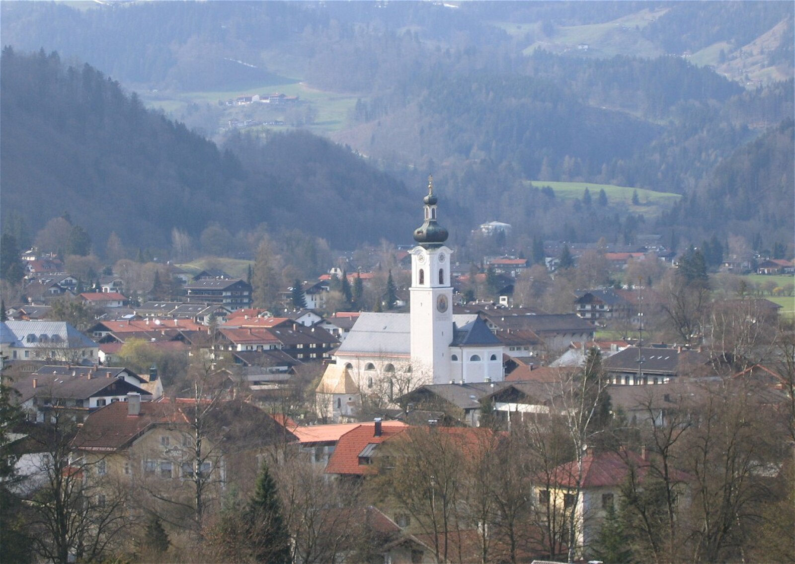
Oberaudorf
ライブカメラ
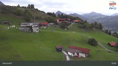
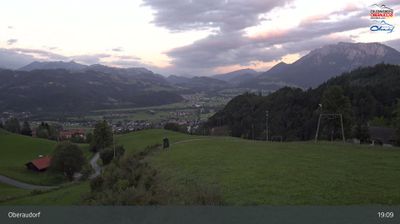
営業中のリフト: 0/6
積雪情報
- 過去24時間: 0 cm
- 過去72時間: 0 cm
- 過去7日間: 0 cm
- 過去7日間: 山麓 0cm · 中腹 0cm · 山頂 0cm
- シーズン累計: 0 cm
About Oberaudorf
A family-oriented Bavarian retreat known for its night skiing culture and its location at the gateway to the Tyrolian border.
Highlights
- Floodlit night runs
- Bavarian valley charm
- Gentle alpine slopes
- Traditional inn culture
Key Facts
- Altitude: 491m
- Top lift: 1240m
- Ski pistes: 8km
- Ski lifts: 5
- Population: 5,359
- Lakes nearby: 20
- MTB trails: 187.5km
- Mountain huts: 28
Ski Area
Weather and 10-day forecast for Oberaudorf
- Today: 5 to 15 °C, clear sky, 13 h of sunshine
- Freezing level today: about 3383 m (2680 to 3620 m)
| Day | Min / max | Sky | Precipitation | Sunshine |
|---|---|---|---|---|
| 9月23日(水) | 5 / 15 °C | clear sky | dry | 13 h sun |
| 9月24日(木) | 7 / 15 °C | thunderstorm | dry | 1 h sun |
| 9月25日(金) | 5 / 15 °C | clear sky | dry | 12 h sun |
| 9月26日(土) | 3 / 19 °C | clear sky | dry | 10 h sun |
| 9月27日(日) | 6 / 22 °C | clear sky | dry | 10 h sun |
| 9月28日(月) | 7 / 24 °C | clear sky | dry | 10 h sun |
| 9月29日(火) | 7 / 23 °C | clear sky | dry | 11 h sun |
| 9月30日(水) | 7 / 23 °C | clear sky | dry | 11 h sun |
| 10月1日(木) | 7 / 23 °C | clear sky | dry | 11 h sun |
| 10月2日(金) | 8 / 17 °C | drizzle | dry | 1 h sun |
Things to do in Oberaudorf
Hikes nearby — Oberaudorf (20)
20+ curated hiking trails around Oberaudorf, sourced from OpenStreetMap and enriched with distance, elevation gain and difficulty.
-
Via Alpina Purple A51
Oberaudorf - Brünnsteinhaus
-
Grenzenlos Wanderweg (Oberaudorf - Kiefersfelden - Kufstein)
-
Weg Nr. 4 - Von Bauernhof zu Bauernhof - Oberaudorf/Hocheck
Bergstation, Tiergehege, Abenteuerspielplatz, Berggasthof Hocheck, Zimmerau, Wechselberg, Lechen, Eisenbahnerheim, Winterrodelbahn, Talstation
-
Euregio Marien-Wege
-
Weg Nr. 5 - Höhenrundweg um den Scharzenberg - Oberaudorf/Hocheck
Bergstation, Tiergehege, Wildgrub, Rechenau, Wallerhof, Hochtal Mühlau, Ramsauer Stein, Bergstation Hocheck
-
Wanderweg 655 - Brünnstein
Gießenbach - Rechenau - Buchau - Längau-Alm - Buchau-Alm, Seon-Alm oder Traithenkessel
-
Seenwanderung
This circular hike northwest of Kufstein threads through beech and fir forests to reach the four Thierberg lakes, beginning from Kufstein train station and passing through the Zell district. The Pfrillsee is among the lakes encountered along the way.
-
Wanderweg 49 - Kiefersfelden
Mühlau, Brünnstein, Steilenalm, Unterberg-Alm, Oberaudorfer-Alm, Gießenbachtal, Breitenau, Kiefersfelden
-
Kieferer Energiewanderweg (Blaue Tour)
-
Pfrillsee-Runde
-
Wanderweg 46 - Kiefersfelden
Kieferbach, Wachtl, Marblinger Höhe, Längsee, Hechtsee
-
Wanderwegenetz Bezirk Kufstein
Wanderwege im Bezirk Kufstein, die mit gelben Wanderwegweisern ausgeschildert sind, aber nicht zu nummerierten, eigens benannten oder mit Symbolen markieren Wanderwegen gehören.
-
Wanderweg 651 - Brünnstein
このトレイルはブリュンシュタイン(Brünnstein)を一周する。この淡いオーバーレートカルク(Oberrhätkalk)石灰岩の山頂は、19世紀のあるアルピニストがバイエルン州イン渓谷で最も美しい山の形と称したもので、山頂直下のブリュンシュタインハウス(Brünnsteinhaus)山小屋に至る前に、バウムース(Baumoos)、ゼーオン(Seeon)、ヒンメルモース(Himmelmoos)の牧草地を通過する。運が良ければ、1963年に放たれた5頭のスイス個体を祖先とする20頭から50頭の群れが生息する周辺の地形でアイベックスを目撃できるかもしれない。
-
Wanderweg 652 - Brünnstein
Von Buchau, Wall oder Hocheck über das Brünnsteinhaus auf den Traithen und über Vogelsang nach Bayrischzell
-
Wanderweg 657 - Brünnstein
トレイルはBaumoos、Seeon、HimmelmooのアルムをすぎてBrünnsteinhausまで牧歌的な高山の草原を登り、そこからKaisergebirgeから中央アルプスまでのパノラマが広がる。途中、2億年前に浅い温かい海で形成された山頂の淡いOberrhätkalк石灰岩が、木々の梢の海の上に石化した船首のようにそびえ立ち、運が良ければアイベックスが別々の群れで斜面を歩き回る姿を目にすることができる。
-
Wanderweg 656 - Brünnstein
The route climbs from Oberaudorf through forest and the wild-romantic Brünntal valley to the Brünnsteinhaus, with the Hocheck along the way. The Brünnstein itself — its pale Oberrhätkalk summit described by one 19th-century alpinist as a "mächtige Felsenkrone" rising above a broad green base — rewards walkers with a celebrated view of the Kaiser massif and the chance to spot ibex, first introduced here from Switzerland in 1963.
-
Aschingeralm - Winkelalm
-
Audorfer Rundweg
Rundweg um Oberaudorf (Auerburg, Florianiberg, Inndamm, entlang des Auerbachs, Trißlklinik, Hocheck Talstation, Auerburg)
-
Audorfer Rundweg (Sommervariante)
Rundweg um Oberaudorf (Luegsteinsee, Auerburg, Florianiberg, Inndamm, entlang des Auerbachs, Trißlklinik, Hocheck Talstation, Luegsteinsee)
-
Bärentalrunde
Mountain biking near Oberaudorf
- Rund um den Brünnstein
- Schwarzenberg-Runde
- Erlebnistour Wildbichl
- Thierberg-Runde
- Bichlersee
- Wachtl-Runde
Getting to Oberaudorf
Door-to-door travel times as used by the MR. ALPS ranking.
- Nearest airport: Salzburg Airport (SZG), 65 km away, about 1h06 by road
- München: 1h01 by car, 86 km
- Innsbruck: 1h10 by car, 84 km
- Nürnberg: 2h30 by car, 255 km
- Bolzano - Bozen: 2h36 by car, 200 km
- Trento: 3h07 by car, 255 km
- Stuttgart: 3h14 by car, 319 km
Where to stay in Oberaudorf
200 places to stay for a night on 2026-09-25, from 111 EUR per night, median 355 EUR. Prices are direct with hotels and destinations, compared live on the Oberaudorf page.