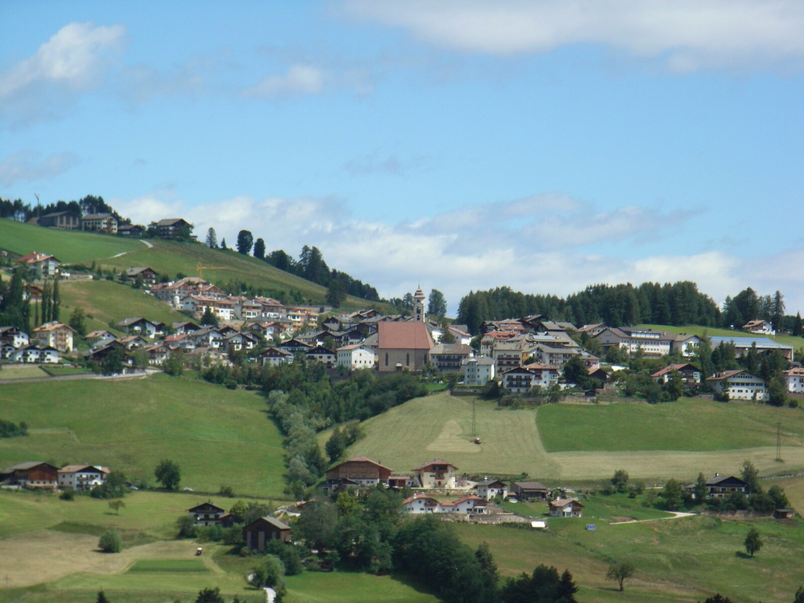
Nova Ponente (Deutschnofen)
ライブカメラ
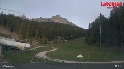
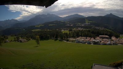
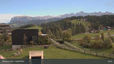


営業中のリフト: 0%
積雪情報
- 過去24時間: 0 cm
- 過去72時間: 0 cm
- 過去7日間: 0 cm
- 過去7日間: 山麓 0cm · 中腹 0cm · 山頂 0cm
- シーズン累計: 0 cm
About Nova Ponente (Deutschnofen)
A sunny plateau village where Tyrolean tradition meets Dolomites charm, known for its quiet pace and vast network of cross-country trails.
Highlights
- High-altitude sun exposure
- Gothic stone architecture
- Nordic skiing hub
- Family-run farm stays
Key Facts
- Altitude: 1356m
- Top lift: 1538m
- Ski pistes: 1km
- Ski lifts: 1
- Population: 4,011
- Lakes nearby: 13
- MTB trails: 74.2km
- Mountain huts: 6
Ski Area
Weather and 10-day forecast for Nova Ponente (Deutschnofen)
- Today: 7 to 16 °C, clear sky, 12 h of sunshine
- Freezing level today: about 3125 m (2960 to 3260 m)
| Day | Min / max | Sky | Precipitation | Sunshine |
|---|---|---|---|---|
| 9月22日(火) | 7 / 16 °C | clear sky | dry | 12 h sun |
| 9月23日(水) | 5 / 14 °C | clear sky | dry | 12 h sun |
| 9月24日(木) | 8 / 16 °C | clear sky | dry | 9 h sun |
| 9月25日(金) | 5 / 15 °C | clear sky | dry | 12 h sun |
| 9月26日(土) | 7 / 18 °C | clear sky | dry | 12 h sun |
| 9月27日(日) | 9 / 17 °C | clear sky | dry | 11 h sun |
| 9月28日(月) | 9 / 18 °C | clear sky | dry | 10 h sun |
| 9月29日(火) | 10 / 18 °C | clear sky | dry | 10 h sun |
| 9月30日(水) | 9 / 20 °C | drizzle | dry | 3 h sun |
| 10月1日(木) | 9 / 19 °C | drizzle | dry | 1 h sun |
Things to do in Nova Ponente (Deutschnofen)
Hikes nearby — Nova Ponente (Deutschnofen) (19)
19 curated hiking trails around Nova Ponente (Deutschnofen), sourced from OpenStreetMap and enriched with distance, elevation gain and difficulty.
-
Schwarz-Weiss-Weg/Cammino/Trail schwarz a
-
Schwarz-Weiss-Weg/Cammino/Trail weiß a
-
Kirchweg
-
Plattenbodenweg
-
Wallfahrtsweg - Via Crucis
-
Panoramaweg
-
St. Helena Weg
-
5 - Laives => Deutschnofen => Welschnofen => Tiers
-
Enzbirch Weg
The trail climbs to the Iron Age hillfort of Enzbirg at 1,273 m a.s.l., where two concentric stone walls — one enclosing a central area of roughly 60 square metres, the other stretching some 200 metres — still rise from the summit on the boundary between Laives and Nova Ponente. A panoramic display and telescope at the viewpoint sweep across Laives, the Mendel range, and the full breadth of the valley below.
-
Bletterbachrunde
-
Leiferer Höhenweg
The Leiferer Höhenweg runs point-to-point from Petersberg to Nova Ponente along a high-altitude ridge above Laives, passing through terrain scenic enough to earn a spot on RAI South Tyrol radio as a hike for the whole family. The route descends toward the Buschenschank Schluntner, a traditional farmhouse inn, with the option to return by public bus from St. Jakob.
-
Gorzsteig
-
Protzleitweg
-
Sagenweg
-
Weg der Sterne - Sentiero delle Stelle
-
Heuweg
-
Führersteig
-
1 - Kardaun => Nigerpass => Kölner Hütte
-
Bahnweg
Mountain biking near Nova Ponente (Deutschnofen)
- St. Leonhard - Alte Säge - S. Leonardo - la vecchia Segheria
- Wallfahrtsweg Weißenstein - Via Crucis Pietralba
- Kreuzweg - 4 - Via Crucis - 4
- Nr. 7
Getting to Nova Ponente (Deutschnofen)
Door-to-door travel times as used by the MR. ALPS ranking.
- Nearest airport: Bolzano Airport (BZO), 9 km away, about 37 min by road
- Bolzano - Bozen: 30 min by car, 26 km
- Trento: 58 min by car, 67 km
- Verona: 1h56 by car, 162 km
- Innsbruck: 1h57 by car, 140 km
- Brescia: 2h26 by car, 198 km
- Padova: 2h40 by car, 241 km
Where to stay in Nova Ponente (Deutschnofen)
192 places to stay for a night on 2026-09-25, from 183 EUR per night, median 289 EUR. Prices are direct with hotels and destinations, compared live on the Nova Ponente (Deutschnofen) page.