Montricher-Albanne
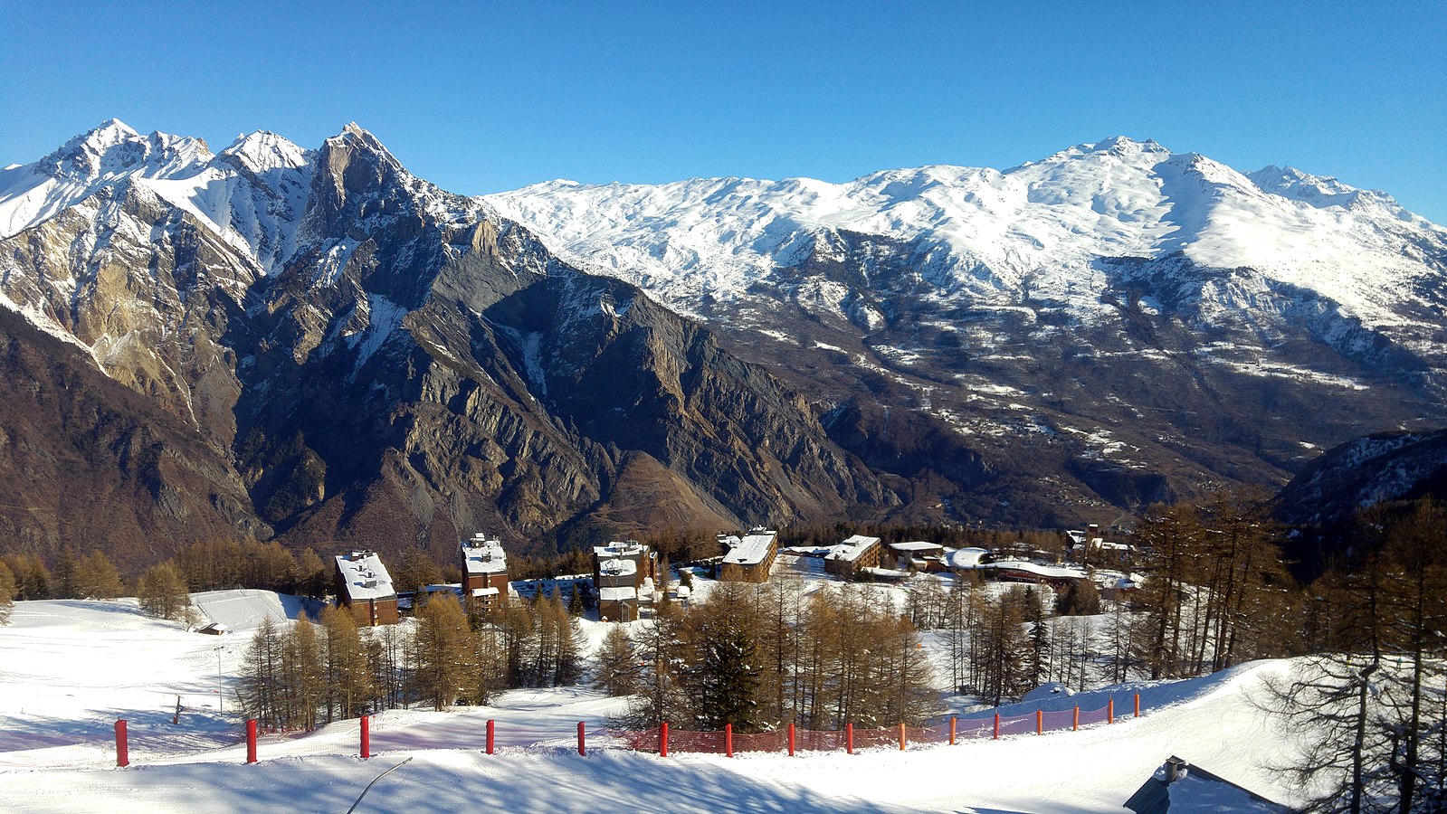
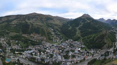
ライブカメラ


営業中のリフト: 0/17
積雪情報
- 過去24時間: 0 cm
- 過去72時間: 0 cm
- 過去7日間: 0 cm
- 過去7日間: 山麓 0cm · 中腹 0cm · 山頂 0cm
- シーズン累計: 5.5 cm
About Montricher-Albanne
A quiet Maurienne Valley hideaway where traditional stone hamlets offer a rustic, slow-paced alternative to the massive French resorts.
Highlights
- Savoyard stone architecture
- Understated mountain living
- Family-run guesthouses
- Uncrowded forest trails
Key Facts
- Altitude: 1586m
- Top lift: 2520m
- Ski pistes: 60km
- Ski lifts: 16
- Population: 476
- Lakes nearby: 15
- MTB trails: 222.7km
- Mountain huts: 13
Ski Area
Weather and 10-day forecast for Montricher-Albanne
- Today: 8 to 18 °C, partly cloudy, 8 h of sunshine
- Freezing level today: about 4342 m (4210 to 4580 m)
| Day | Min / max | Sky | Precipitation | Sunshine |
|---|---|---|---|---|
| 9月20日(日) | 8 / 18 °C | partly cloudy | dry | 8 h sun |
| 9月21日(月) | 10 / 17 °C | overcast | dry | 3 h sun |
| 9月22日(火) | 8 / 17 °C | clear sky | dry | 12 h sun |
| 9月23日(水) | 9 / 16 °C | clear sky | dry | 11 h sun |
| 9月24日(木) | 8 / 17 °C | clear sky | dry | 10 h sun |
| 9月25日(金) | 9 / 19 °C | clear sky | dry | 9 h sun |
| 9月26日(土) | 8 / 18 °C | clear sky | dry | 11 h sun |
| 9月27日(日) | 8 / 19 °C | overcast | dry | 1 h sun |
| 9月28日(月) | 6 / 20 °C | clear sky | dry | 12 h sun |
| 9月29日(火) | 5 / 19 °C | clear sky | dry | 12 h sun |
Things to do in Montricher-Albanne
Hikes nearby — Montricher-Albanne (20)
20+ curated hiking trails around Montricher-Albanne, sourced from OpenStreetMap and enriched with distance, elevation gain and difficulty.
-
Albannette grande boucle
Itinéraire conseillé aux randonneurs réguliers.
-
Pain de Sucre grande boucle
Un parcours qui vous mènera aux limites sud de la commune, jusqu’au sommet belvédère du Pain de Sucre, par un tracé alternant sentiers techniques aux profils multiples ainsi que des passages sur pistes larges aux profils variés également.
-
Montricher grande boucle
Un parcours 100 % forestier à destination du village de Montricher, situé à 1200m d’altitude. Vous évoluerez majoritairement sur sentiers forestiers avec quelques passages techniques pouvant être humides.
-
Crêt de la Parenche
Un parcours abordable permettant l’initiation à la rando-trail, vous profiterez de ce tracé empruntant majoritairement des pistes forestières larges et roulantes sans difficulté technique majeure.
-
Tour des Aiguilles d'Arves (étape 6)
From the Aiguilles d'Arves refuge, a balcony path traverses alpine pastures with views of surrounding peaks, passing the pastoral hamlet of Vallon before descending through larch forest alongside the Valloirette stream. The route climbs back up to Poingt-Ravier — a hamlet of traditional architecture with open views of the Telegraph Fort — and passes a remarkable ancient larch tree before reaching the perched hamlet of Albanne.
-
Tour des Aiguilles d'Arves (étape 7)
-
Tour des Aiguilles d'Arves (étape 1)
-
Croix d'Albiez en boucle
Itinéraire pour randonneur régulier.
-
Descente station
Accessible aux randonneurs débutants.
-
Combe de l'Oula
Accessible aux randonneurs occasionnels.
-
Beaumollard
Itinéraire pour randonneur occasionnel.
-
Montricher petite boucle
Itinéraire conseillé aux randonneurs occasionnels.
-
Plan du Four
Itinéraire conseillé aux randonneurs réguliers.
-
Descente Lac
Accessible aux randonneurs débutants.
-
Route du Lac
Accessible aux randonneurs débutants.
-
Lac de Pramol
Circuit pour randonneur occasionnel. Passage par le sentier découverte du Blanchon et le lac de Pramol. À voir : la tourbière, cône de dissolution de gypse, panorama sur la Croix des Têtes.
-
Col des Têtes
Itinéraire conseillé aux randonneurs réguliers.
-
Marmottes
Accessible aux randonneurs débutants.
-
Croix de Pralognan
Randonnée entre les Karellis et le col d'Albanne. Itinéraire pour randonneur occasionnel. Point de départ : station les Karellis.
-
Croix d'Albiez en aller-retour
Itinéraire pour randonneur régulier. Traversée spectaculaire de la combe de Messolard. Panorama sur la vallée de l'Arvan et les aiguilles d'Arves.
Mountain biking near Montricher-Albanne
- Albannette
- Big Plagne
- Mélèzia
- Small Plagne
- Le Bochet
- Croix de Pralognan
- Suiffet
- Tour du Lac
Getting to Montricher-Albanne
Door-to-door travel times as used by the MR. ALPS ranking.
- Nearest airport: Lyon Saint-Exupéry Airport (LYS), 117 km away, about 2h03 by road
- Chambéry: 1h09 by car, 91 km
- Grenoble: 1h32 by car, 122 km
- Annecy: 1h41 by car, 138 km
- Torino: 2h by car, 143 km
- Genève: 2h08 by car, 176 km
- Lyon: 2h19 by car, 188 km
Where to stay in Montricher-Albanne
78 places to stay for a night on 2026-09-25, from 76 EUR per night, median 122 EUR. Prices are direct with hotels and destinations, compared live on the Montricher-Albanne page.