Maria Alm
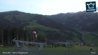
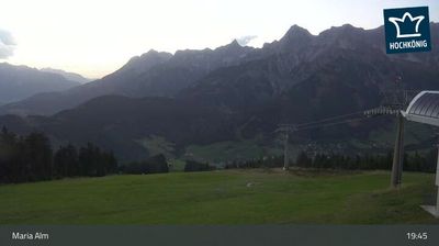
ライブカメラ
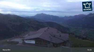

営業中のリフト: 0/34
積雪情報
- 過去24時間: 0 cm
- 過去72時間: 0 cm
- 過去7日間: 0 cm
- 過去7日間: 山麓 0cm · 中腹 0cm · 山頂 0cm
- シーズン累計: 0.1 cm
About Maria Alm
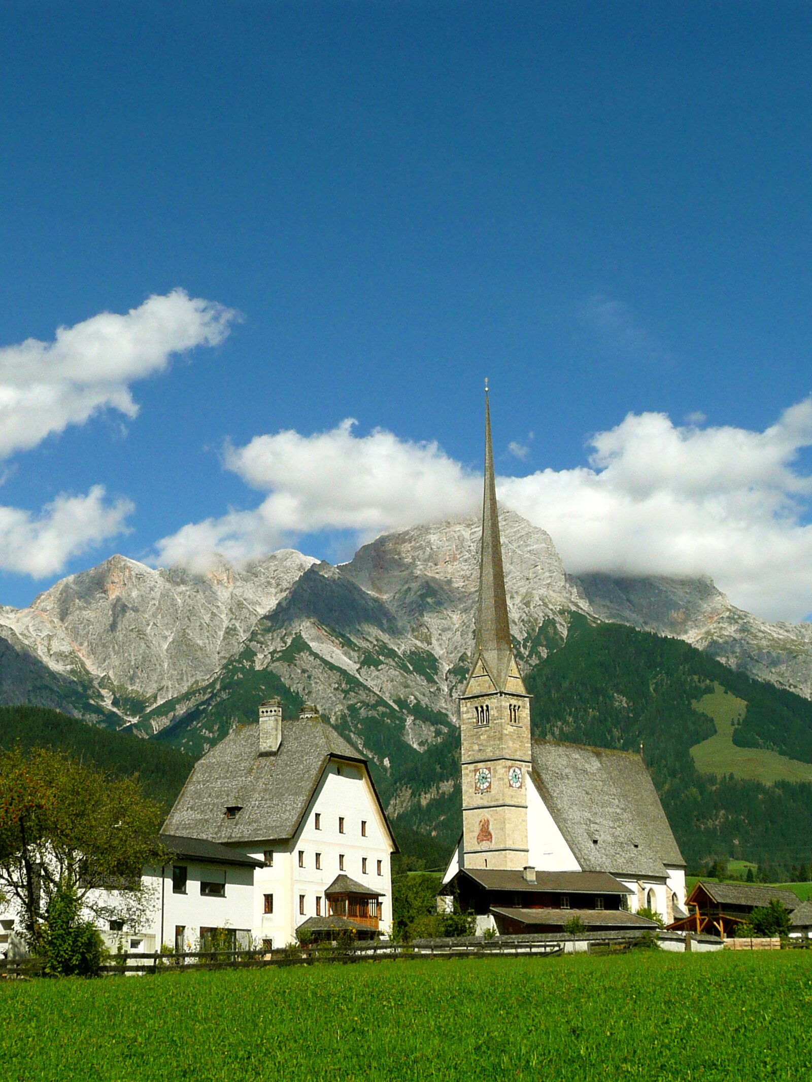
A quintessential Austrian enclave where pilgrims and powder hounds gather beneath the jagged limestone peaks of the Hochkönig massif.
Highlights
- Iconic pilgrimage church
- Expansive tour skiing
- Traditional timber architecture
- Family-run alpine huts
Key Facts
- Altitude: 795m
- Top lift: 1900m
- Ski pistes: 120km
- Ski lifts: 34
- Population: 2,265
- Lakes nearby: 14
- MTB trails: 360.5km
- Mountain huts: 46
Ski Area
この目的地が含まれるシーズンパス
Weather and 10-day forecast for Maria Alm
- Today: 8 to 18 °C, partly cloudy, 7 h of sunshine
- Freezing level today: about 3922 m (3360 to 4170 m)
| Day | Min / max | Sky | Precipitation | Sunshine |
|---|---|---|---|---|
| 9月20日(日) | 8 / 18 °C | partly cloudy | dry | 7 h sun |
| 9月21日(月) | 6 / 12 °C | partly cloudy | dry | 4 h sun |
| 9月22日(火) | 3 / 11 °C | partly cloudy | dry | 10 h sun |
| 9月23日(水) | 1 / 15 °C | clear sky | dry | 13 h sun |
| 9月24日(木) | 5 / 15 °C | partly cloudy | dry | 9 h sun |
| 9月25日(金) | 5 / 14 °C | partly cloudy | dry | 7 h sun |
| 9月26日(土) | 2 / 18 °C | clear sky | dry | 8 h sun |
| 9月27日(日) | 5 / 22 °C | clear sky | dry | 11 h sun |
| 9月28日(月) | 8 / 21 °C | clear sky | dry | 11 h sun |
| 9月29日(火) | 7 / 20 °C | partly cloudy | dry | 6 h sun |
Things to do in Maria Alm
Hikes nearby — Maria Alm (17)
17 curated hiking trails around Maria Alm, sourced from OpenStreetMap and enriched with distance, elevation gain and difficulty.
-
AV Weg 413
St. Bartholomä - Funtensee - Riemannhaus - Saalfelden
-
Via Alpina Purple A39
The route winds from Maria Alm through the Krallerwinkel and past the Jufenalm to the Prinzensee lake, with stops at the Kronreith inn and TOM's hut along the way. The return leg rides the Natrun cable car back down to the valley.
-
Via Alpina Purple A38
Erichhütte - Maria Alm
-
Nordalpenweg 01A
Variante: Werfen - Erichhütte - Maria Alm - Riemannhaus
-
AV Weg 427
Krallerwinkl - Braggstein - Lugscharte - Hochbrunnsulzenscharte
-
AV Weg 425
-
AV Weg 412b
-
Maria Alm am Steinernen Meer - Schwalbenwand
-
AV Weg 412c
-
AV Weg 445
The trail climbs steeply through dense forest from the Hammerstiel car park — with an average gradient of 19.8% — and is marked every 100 metres of elevation gain with signs for a cardiovascular fitness test. Just below the summit, the Grünsteinhütte at 1,220 m offers a rest stop before the final push to the 1,304 m peak, where the Watzmannkar and the shimmering Königssee spread out below.
-
AV Weg 426
Braggstein - Wasserfallscharte - Wasserfallgrube
-
AV Weg 414
Maria Alm - Buchauer Scharte - Funtensee
-
Via Alpina Purple A40
Riemannhaus - Kärlingerhaus
-
E4 (alpin) Fernwanderweg (Bereich Lofer/Steinberge)
Der Europäische Fernwanderweg E4 ist Teil des europäischen Wanderwegnetzes und soll den südwestlichsten Punkt des europäischen Kontinents in einem großen Bogen durch das westliche Mitteleuropa mit der im Südosten liegenden Insel Zypern verbinden. Der E4 ist mit einer Gesamtlänge von ungefähr 12.090 Kilometern bei weitem der längste aller Europäischen Fernwanderwege.
-
AV Weg 412e
-
Auf den Spuren der Wallfahrer
-
AV Weg 422 (Sagerecksteig)
Mountain biking near Maria Alm
- SA 02 | Ramseider Runde
- Gabühel Runde
- SA 03 | Kronreith-Ramseiden Runde
- MA 03 | Natrun-Runde
- MA 01 | Ramseiden-Runde
- MA 06 | Hinterreit-Runde
- Flow-One-Trail
- Flowtrail Hochkönig
Getting to Maria Alm
Door-to-door travel times as used by the MR. ALPS ranking.
- Nearest airport: Salzburg Airport (SZG), 44 km away, about 1h12 by road
- Innsbruck: 2h08 by car, 133 km
- München: 2h17 by car, 162 km
- Graz: 3h15 by car, 246 km
- Bolzano - Bozen: 3h34 by car, 248 km
- Nürnberg: 3h46 by car, 331 km
- Trento: 4h05 by car, 304 km
Where to stay in Maria Alm
200 places to stay for a night on 2026-09-25, from 127 EUR per night, median 319 EUR. Prices are direct with hotels and destinations, compared live on the Maria Alm page.