Malbun
ライブカメラ

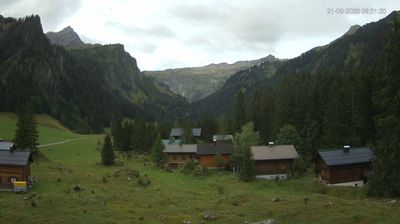
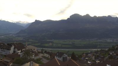
営業中のリフト: 0/6
積雪情報
- 過去24時間: 0 cm
- 過去72時間: 0 cm
- 過去7日間: 0 cm
- 過去7日間: 山麓 0cm · 中腹 0cm · 山頂 0cm
- シーズン累計: 0 cm
About Malbun
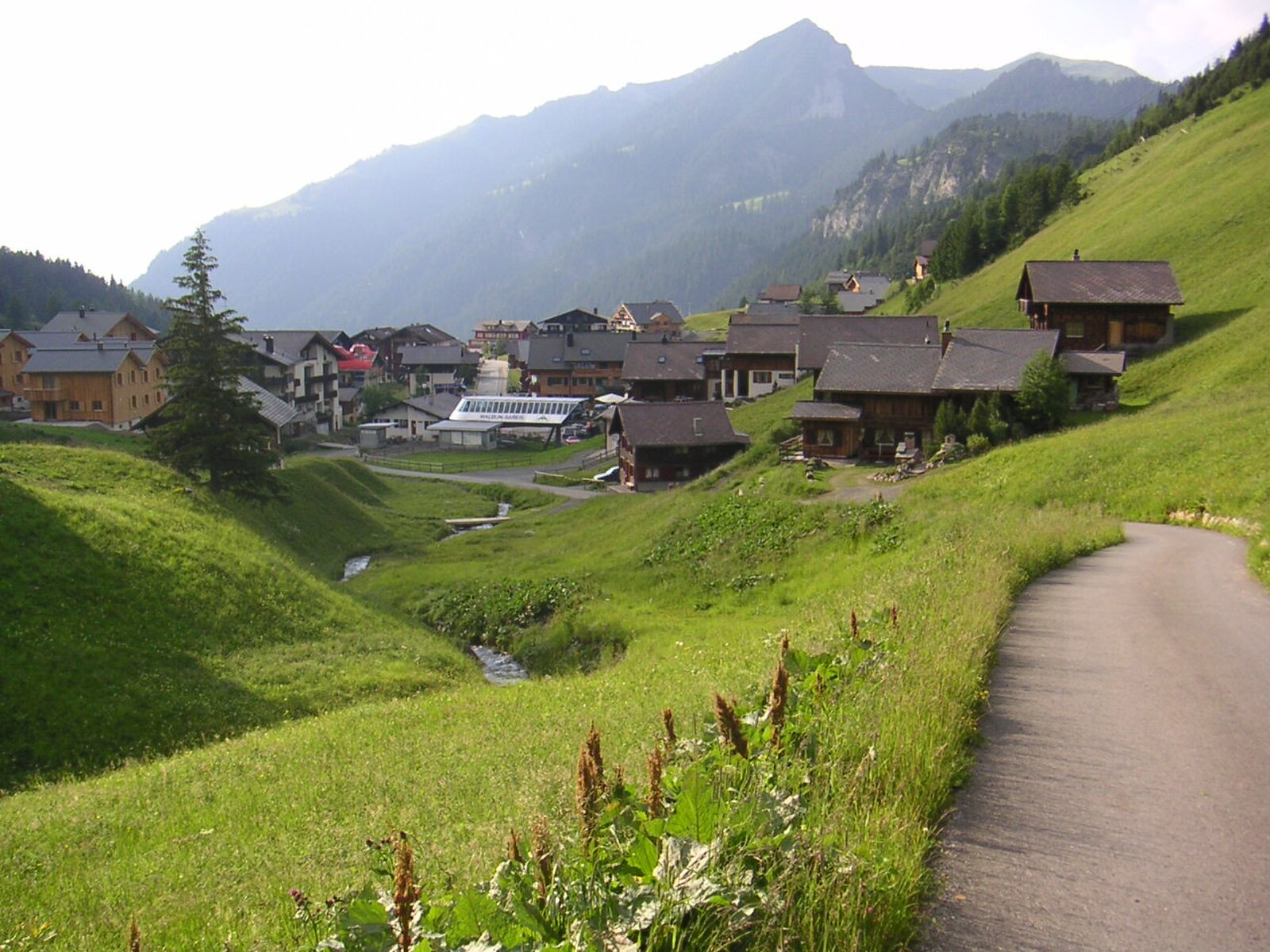
A secluded, family-oriented sanctuary tucked into a high valley, offering Liechtenstein’s most intimate and unpretentious Alpine escape.
Highlights
- Car-free village center
- Family-friendly terrain
- Quiet mountain seclusion
- Falconry displays
Key Facts
- Altitude: 1604m
- Top lift: 2000m
- Ski pistes: 23km
- Ski lifts: 7
- Population: 50
- Lakes nearby: 14
- MTB trails: 102km
- Mountain huts: 15
Ski Area
この目的地が含まれるシーズンパス
Weather and 10-day forecast for Malbun
- Today: 5 to 11 °C, overcast, 1 h of sunshine
- Freezing level today: about 3703 m (3270 to 4260 m)
| Day | Min / max | Sky | Precipitation | Sunshine |
|---|---|---|---|---|
| 9月21日(月) | 5 / 11 °C | overcast | dry | 1 h sun |
| 9月22日(火) | 3 / 11 °C | clear sky | dry | 12 h sun |
| 9月23日(水) | 5 / 13 °C | clear sky | dry | 12 h sun |
| 9月24日(木) | 6 / 10 °C | partly cloudy | dry | 5 h sun |
| 9月25日(金) | 4 / 14 °C | clear sky | dry | 11 h sun |
| 9月26日(土) | 7 / 17 °C | clear sky | dry | 12 h sun |
| 9月27日(日) | 9 / 18 °C | overcast | dry | 2 h sun |
| 9月28日(月) | 5 / 17 °C | clear sky | dry | 12 h sun |
| 9月29日(火) | 2 / 17 °C | clear sky | dry | 12 h sun |
| 9月30日(水) | 6 / 19 °C | clear sky | dry | 11 h sun |
Things to do in Malbun
Hikes nearby — Malbun (20)
20+ curated hiking trails around Malbun, sourced from OpenStreetMap and enriched with distance, elevation gain and difficulty.
-
Gafadurahuette - Drei Schwestern - Kemmi - Silum - Steg
The route passes the Gafadurahütte and climbs through rocky terrain to the Drei Schwestern summits, with views stretching across the Rheinebene and as far as the Bodensee. Along the way, the path threads through stone features including a hollow rock window, with border markers at the Saroja ridge tracing the edge between Austria and Liechtenstein.
-
Falknis - Steg
-
Gafadurahuette - Silum - Steg
The route starts at the idyllic Gänglesee lake in Steg, climbs through quiet forest and past flower meadows to the Alp Sücka at 1,400 m, then passes through an old tunnel to emerge on the western side of the ridge. From there, the trail offers views on both sides of the mountain crest, with the Gafadurahütte serving as the well-known starting landmark.
-
Gafadurahuette - Bargaella - Steg
The full route descends from the Gafadurahütte — a former hunting lodge rebuilt into a modern Alpine club hut at 1428 m above sea level — through shady forest past the Bargälla area and down to Steg, with the ascent portion running largely beneath tree cover through green alpine meadows. The hut, belonging to the Liechtenstein Alpine Association, sits within a gentle alpine landscape of forest and pasture.
-
Via Alpina Stage 57: Gafadurahütte - Sücka
-
Via Alpina Green C1
Suecka -Glaflei- Vaduz
-
Via Alpina Stage 58: Sücka - Sargans
The route passes through the Saminatal valley and the Walsersiedlung Steg before climbing to the Pfälzerhütte, rewarding hikers with a distinctive Alpine panorama. The Pfälzerhütte offers food and overnight accommodation between June and October.
-
Malbun
A ridge loop high above the alpine village of Malbun, the trail climbs through switchbacks and exposed terrain to the Augstenberg peak before swinging past the Pfälzerhütte mountain hut, then descends through lush meadows back to the valley. Steep slopes, uneven ground, and a few airy exposed sections make this a trail best suited to those with a steady head for heights.
-
Malbun - Schoenberg
From Malbun, the route climbs through flower meadows and past the Sass-Seelein lake to the Sassfürkle, then turns toward Schönberg. Some sections are steep and require sure-footedness, with red and white trail markings keeping hikers off the cow trails near a bench with sweeping views.
-
Kurhaus Steg - Malbun
-
Malbun - Vaduzer Taeli - Pfaelzerhuette
The route climbs from Malbun (1600 m) through the Vaduzer Täli valley to the Tälihöhi (2056 m), then descends to the Alpe Gritsch (1940 m) before reaching the Pfälzerhütte at 2108 m on the Bettlerjoch. Along the way, the Silberhorn and Augstenberg rise to the east.
-
Malbun - Augstenberg - Pfaelzerhuette
-
Bergstation Sareis - Pfaelzerhuette
-
Malbun Bergbahnen - Sassfoerkle - Schoenberg
-
Bergstation Sareis - Nenzinger Himmel (A)
This point-to-point route departs from the Sareis mountain station and crosses from Liechtenstein into Austria, offering panoramic views along the way.
-
Galinakopf - Malbun
-
Galinakopf - Malbun Bergbahnen
The trail climbs from Malbun through the Alp Sass and past the Sassförkle, with views across to the Swiss Alviergruppe on the far side of the Rhine valley. The Galinakopf sits at the northwestern corner of the Rätikon, where the borderlands of Liechtenstein and Austria meet on a ridge described as an outstanding viewing balcony.
-
Guschgfiel - Malbun Bergbahnen
-
Fürstin-Gina-Weg Malbun
-
Schönberg-Weg
Mountain biking near Malbun
- Rheintal Bike
- Chranchweg
Getting to Malbun
Door-to-door travel times as used by the MR. ALPS ranking.
- Nearest airport: Sankt Gallen Altenrhein Airport (ACH), 43 km away, about 52 min by road
- Zürich: 1h34 by car, 118 km
- Luzern: 1h54 by car, 141 km
- Basel: 2h32 by car, 201 km
- Innsbruck: 2h37 by car, 184 km
- München: 2h47 by car, 246 km
- Biel/Bienne: 2h57 by car, 239 km
Where to stay in Malbun
31 places to stay for a night on 2026-09-25, from 142 EUR per night, median 301 EUR. Prices are direct with hotels and destinations, compared live on the Malbun page.