Leukerbad
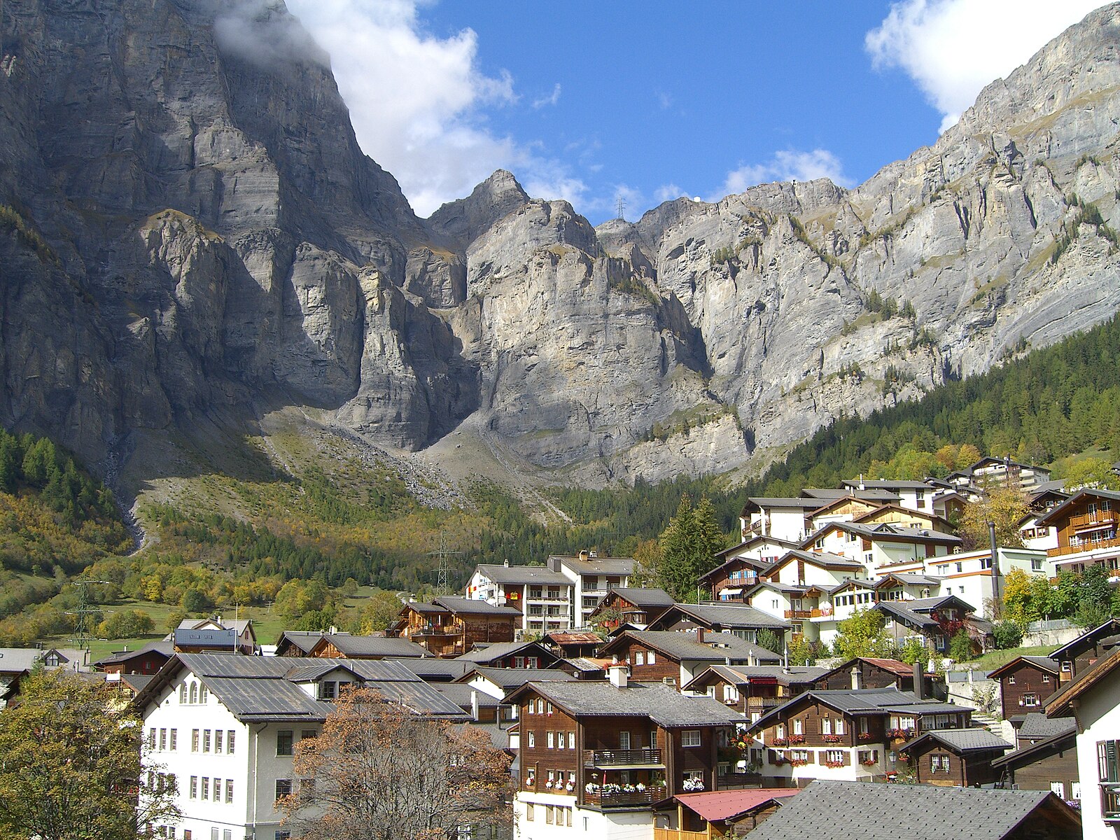
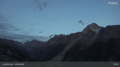
ライブカメラ
営業中のリフト: 0/13
積雪情報
- 過去24時間: 0 cm
- 過去72時間: 0 cm
- 過去7日間: 0 cm
- 過去7日間: 山麓 0cm · 中腹 0cm · 山頂 0cm
- シーズン累計: 0.9 cm
About Leukerbad
The ultimate thermal retreat where high-altitude Roman baths meet rugged cliffs and a surprisingly grounded wellness culture.
Highlights
- Steaming thermal springs
- Dramatic rock faces
- Alpine spa heritage
- Gemmi Pass hiking
Key Facts
- Altitude: 1389m
- Top lift: 2610m
- Ski pistes: 47km
- Ski lifts: 13
- Population: 1,426
- Lakes nearby: 19
- MTB trails: 145.3km
- Mountain huts: 19
Ski Area
この目的地が含まれるシーズンパス
Weather and 10-day forecast for Leukerbad
- Today: 8 to 17 °C, clear sky, 9 h of sunshine
- Freezing level today: about 4158 m (3920 to 4280 m)
| Day | Min / max | Sky | Precipitation | Sunshine |
|---|---|---|---|---|
| 9月20日(日) | 8 / 17 °C | clear sky | dry | 9 h sun |
| 9月21日(月) | 8 / 16 °C | overcast | dry | 1 h sun |
| 9月22日(火) | 10 / 17 °C | clear sky | dry | 12 h sun |
| 9月23日(水) | 9 / 18 °C | clear sky | dry | 12 h sun |
| 9月24日(木) | 5 / 11 °C | partly cloudy | dry | 5 h sun |
| 9月25日(金) | 4 / 16 °C | clear sky | dry | 12 h sun |
| 9月26日(土) | 7 / 19 °C | clear sky | dry | 12 h sun |
| 9月27日(日) | 8 / 18 °C | clear sky | dry | 11 h sun |
| 9月28日(月) | 4 / 17 °C | clear sky | dry | 12 h sun |
| 9月29日(火) | 1 / 17 °C | clear sky | dry | 8 h sun |
Things to do in Leukerbad
Hikes nearby — Leukerbad (20)
20+ curated hiking trails around Leukerbad, sourced from OpenStreetMap and enriched with distance, elevation gain and difficulty.
-
Walliser Sonnenweg Etappe 1
-
Walliser Sonnenweg Etappe 2
-
Leukerbad Flüekapelle
-
Leukerbad Gemmi
Weiss-rot-weiss markierter Teil des Weges
-
Leukerbad Bodmen
-
Reservoir Heilbad
-
Flaschen - Rinderhütte
-
Leukerbad Albinen
The route passes the "Albinenleitern" — vertical wooden ladders scaling the cliffs above Leukerbad — before arriving at Albinen, a mountain village with roots stretching back to the 11th century. Along the way, singletrack trails wind through meadows and forest, with views opening down to the Pfyn/Finges forest in the Rhône valley below.
-
Leukerbad Flüekapelle
-
Inden Torrentalp
-
Torrentalp Rinderhütten
-
Gemmipass Schwarenbach
From the Gemmi cable car station at 2344 m, this circular route descends past the turquoise Daubensee (2207 m) to the Berghotel Schwarenbach (2060 m), set within a glacier landscape. The historic pass has been crossed since the 15th century, and the terrain shifts from rough, barren rock on the Gemmi side to colorful flower meadows further along the path.
-
Rinderhütten Wysse See
-
Torrentalp Guttet
-
Gemmipass Schwarenbach
From the dramatic Gemmi Pass, the route descends along the shore of the Daubensee, with the great panorama of the Rhone Valley and the Alps — dozens of well-known peaks — spread out behind you. The path ends at the Berghotel Schwarenbach, a mountain inn offering refreshments in season.
-
Gemmipass
The trail crosses the Gemmipass, a centuries-old saddle between the Daubenhorn and the Rinderhorn linking Canton Bern to the Valais, passing the photogenic Daubensee before opening onto panoramic views of the high Pennine Alps — Monte Rosa, the Matterhorn, the Weisshorn, the Bishorn, and Dent Blanche.
-
Leuk Stadt Albinen
-
Montagne du Plan - Trubelstock
-
Über die Raspille
-
Walliser Sonnenweg: Crans - Leukerbad
Mountain biking near Leukerbad
- Chällerflüe Bike
- Flowtrail Jales Flow
- Flowtrail Deleeschi
- Gemmiweg
- Flowtrail Leukerbad
- Torrenttrail 1st Part
Getting to Leukerbad
Door-to-door travel times as used by the MR. ALPS ranking.
- Nearest airport: Geneva International Airport (GVA), 118 km away, about 2h29 by road
- Lausanne: 1h45 by car, 135 km
- Bern: 2h19 by train, 132 km
- Genève: 2h24 by car, 197 km
- Biel/Bienne: 2h49 by car, 231 km
- Annecy: 2h55 by car, 204 km
- Luzern: 3h07 by car, 197 km
Where to stay in Leukerbad
200 places to stay for a night on 2026-09-25, from 94 EUR per night, median 165 EUR. Prices are direct with hotels and destinations, compared live on the Leukerbad page.