Les Haudères – L'Homazo
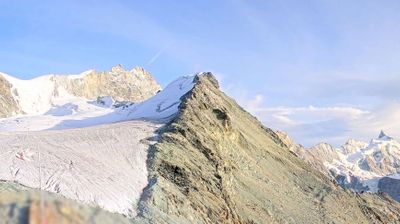
ライブカメラ



営業中のリフト: 0%
積雪情報
- 過去24時間: 0 cm
- 過去72時間: 0 cm
- 過去7日間: 0 cm
- 過去7日間: 山麓 0cm · 中腹 0cm · 山頂 0cm
- シーズン累計: 0 cm
About Les Haudères – L'Homazo
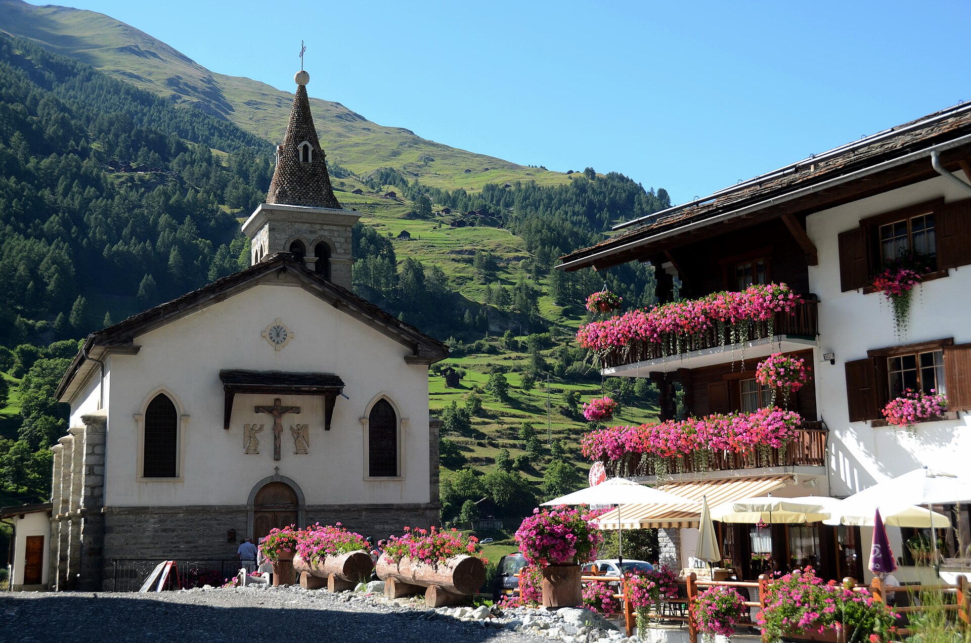
A preserved sanctuary of dark-timbered chalets where time-honored Valaisan traditions and raw mountaineering spirit still endure.
Highlights
- Traditional sun-blackened timber
- Authentic Herens cows
- Pristine glacial scenery
- Rustic mountain lifestyle
Key Facts
- Altitude: 1443m
- Top lift: 1455m
- Ski lifts: 1
- Population: 458
- 4000m+ peaks nearby: 7
- Lakes nearby: 9
- Mountain huts: 24
Ski Area
この目的地が含まれるシーズンパス
Weather and 10-day forecast for Les Haudères – L'Homazo
- Today: 9 to 19 °C, clear sky, 12 h of sunshine
- Freezing level today: about 4236 m (4080 to 4350 m)
| Day | Min / max | Sky | Precipitation | Sunshine |
|---|---|---|---|---|
| 9月22日(火) | 9 / 19 °C | clear sky | dry | 12 h sun |
| 9月23日(水) | 11 / 19 °C | clear sky | dry | 12 h sun |
| 9月24日(木) | 10 / 18 °C | partly cloudy | dry | 7 h sun |
| 9月25日(金) | 10 / 19 °C | clear sky | dry | 12 h sun |
| 9月26日(土) | 13 / 21 °C | clear sky | dry | 12 h sun |
| 9月27日(日) | 11 / 22 °C | clear sky | dry | 8 h sun |
| 9月28日(月) | 12 / 21 °C | partly cloudy | dry | 7 h sun |
| 9月29日(火) | 12 / 23 °C | clear sky | dry | 11 h sun |
| 9月30日(水) | 10 / 23 °C | partly cloudy | dry | 9 h sun |
| 10月1日(木) | 11 / 19 °C | drizzle | dry | 1 h sun |
Things to do in Les Haudères – L'Homazo
Hikes nearby — Les Haudères – L'Homazo (20)
20+ curated hiking trails around Les Haudères – L'Homazo, sourced from OpenStreetMap and enriched with distance, elevation gain and difficulty.
-
03-Tour pédestre du Val d'Hérens
-
04-Tour pédestre du Val d'Hérens
-
26-Chemin des cols alpins
-
25-Chemin des cols alpins
From Grimentz — a sun-darkened village of historic wooden houses whose car-free lanes are strung with geraniums — the trail climbs relentlessly in zigzags to Bendolla, then skirts a chairlift to Les Crêts, passes the Lac de Lona, crosses the Col de Lona, and finally reaches the highest mountain hut on the entire route.
-
Tour du Cervin
A grand circuit around the Matterhorn linking six valleys and three cultures — German-speaking Upper Valais, French-speaking Central Valais, and the Italian Aosta Valley — crossing passes above 3000 m and two glaciers, including the Theodul Glacier, while passing through places like Zinal, the Lac de Moiry, Arolla, and Breuil/Cervinia. Along the way, more than 25 peaks exceeding 4000 m come into view, alongside working alpine pastures with intact flora and fauna and traditional villages carrying centuries of layered history.
-
Villa - Cotter
-
Cotter - Volvovron
-
24-Chemin des cols alpins
-
Becs de Bosson - Le Louché Lac
-
Chemin du Vallon de Réchy
-
27-Chemin des cols alpins
-
28-Chemin des cols alpins
-
02-Tour pédestre du Val d'Hérens
-
01-Tour pédestre du Val d'Hérens
-
Volvovron - L'A Vieille
-
Chemin des villages d’Evolène
-
Alpenpässe-Weg: Evolène - Arolla
-
Tour du Lac de Moiry
-
Alpenpässe-Weg: Becs de Bosson - Evolène
-
Alpenpässe-Weg: Arolla - Les Dix
Mountain biking near Les Haudères – L'Homazo
- Route de Chemeuille
- Chemin des Arpilles
- Route de la Meina
- Sentier de Vendes
- Chemin de Volovron
- Chemin d'Allèves
Getting to Les Haudères – L'Homazo
Door-to-door travel times as used by the MR. ALPS ranking.
- Nearest airport: Geneva International Airport (GVA), 110 km away, about 2h30 by road
- Lausanne: 1h40 by car, 124 km
- Bern: 2h16 by car, 181 km
- Genève: 2h18 by car, 186 km
- Biel/Bienne: 2h44 by car, 220 km
- Annecy: 2h50 by car, 192 km
- Chambéry: 3h14 by car, 236 km
Where to stay in Les Haudères – L'Homazo
42 places to stay for a night on 2026-09-25, from 120 EUR per night, median 276 EUR. Prices are direct with hotels and destinations, compared live on the Les Haudères – L'Homazo page.