Les Diablerets
ライブカメラ
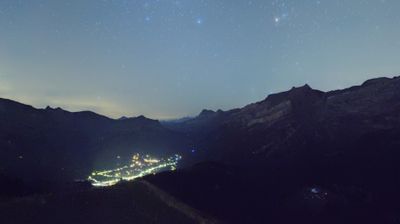

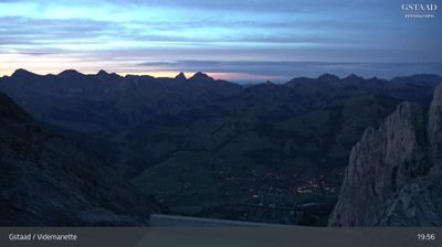
営業中のリフト: 0/30
積雪情報
- 過去24時間: 0 cm
- 過去72時間: 0 cm
- 過去7日間: 0 cm
- 過去7日間: 山麓 0cm · 中腹 0cm · 山頂 0cm
- シーズン累計: 0 cm
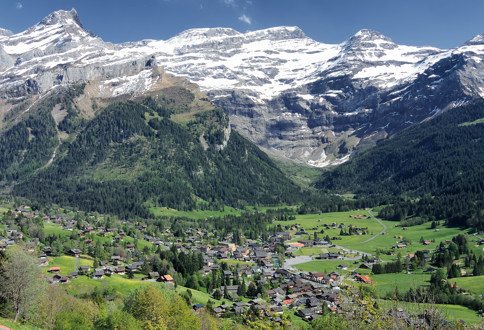
About Les Diablerets
A rugged Vaudois outpost where folklore meets high-altitude glacier access and a notoriously steep, local wooden-sledge culture.
Highlights
- Glacier plateau runs
- Traditional wooden chalets
- Nighttime sledging runs
- Authentic alpine charm
Key Facts
- Altitude: 1187m
- Top lift: 2120m
- Ski pistes: 84km
- Ski lifts: 25
- Population: 1,400
- Lakes nearby: 15
- MTB trails: 303.2km
- Mountain huts: 21
Ski Area
この目的地が含まれるシーズンパス
Weather and 10-day forecast for Les Diablerets
- Today: 8 to 17 °C, clear sky, 9 h of sunshine
- Freezing level today: about 4218 m (4020 to 4300 m)
| Day | Min / max | Sky | Precipitation | Sunshine |
|---|---|---|---|---|
| 9月20日(日) | 8 / 17 °C | clear sky | dry | 9 h sun |
| 9月21日(月) | 7 / 17 °C | partly cloudy | dry | 4 h sun |
| 9月22日(火) | 8 / 18 °C | clear sky | dry | 12 h sun |
| 9月23日(水) | 9 / 17 °C | clear sky | dry | 12 h sun |
| 9月24日(木) | 9 / 18 °C | partly cloudy | dry | 8 h sun |
| 9月25日(金) | 10 / 18 °C | overcast | dry | 2 h sun |
| 9月26日(土) | 7 / 19 °C | clear sky | dry | 12 h sun |
| 9月27日(日) | 10 / 19 °C | partly cloudy | dry | 5 h sun |
| 9月28日(月) | 8 / 18 °C | clear sky | dry | 12 h sun |
| 9月29日(火) | 9 / 19 °C | clear sky | dry | 10 h sun |
Things to do in Les Diablerets
Hikes nearby — Les Diablerets (20)
20+ curated hiking trails around Les Diablerets, sourced from OpenStreetMap and enriched with distance, elevation gain and difficulty.
-
Tour des Alpes Vaudoises Étape 6
The route crosses the historic Trechadèze, where violent clashes erupted in 1978 between the Ormonans and the Vaud republic, before climbing to the Col de la Croix, where centuries of erosion have carved gypsum pyramids into striking geological formations.
-
Tour des Alpes Vaudoises Étape 5
-
Via Alpina Stage 76: Auberge du Godey - Anzeinde
-
Via Alpina Red R104
The Via Alpina is a network of five long-distance hiking trails across the alpine regions of Slovenia, Austria, Germany, Liechtenstein, Switzerland, Italy, France, and Monaco. The longest of the trails is the Red Trail, whose termini are in Trieste and Monaco.
-
Via Alpina
-
Tour des Alpes Vaudoises Étape 7
-
Sanetsch-Muveran-Weg
-
Le Grand Tour des Vanils
-
Tour des Alpes Vaudoises Étape 2
-
Tour des Alpes Vaudoises Étape 4
-
Tour des Alpes Vaudoises Étape 3
-
Tour de l'Argentine
-
Tour Tête de la Minaude
-
Sentier de découverte géographique
-
Tour de la Palette
-
Chemin des pyramides de Gypse
-
Tour des Alpes Vaudoises: Les Diablerets - Villars-sur-Ollon, gare
-
Tour des Alpes Vaudoises: L'Etivaz - Les Diablerets
-
Tour des Alpes Vaudoises: Villars-sur-Ollon, gare - Gryon
-
Sentier des ponts historiques du Sépey
Mountain biking near Les Diablerets
- Alpes de la Région du Léman Bike (Stage 2, Les Diablerets - Bex)
- Alpes de la Région du Léman Bike (Stage 1, Leysin - Les Diablerets)
- Bretaye - Villars
- Taveyanne-Solalex Bike
- Isenau Bike
- Les Chaux - Taveyanne - Barboleuse
- Les Chaux-Barboleuse
- Route de Brison
Getting to Les Diablerets
Door-to-door travel times as used by the MR. ALPS ranking.
- Nearest airport: Geneva International Airport (GVA), 82 km away, about 1h49 by road
- Lausanne: 58 min by car, 67 km
- Bern: 1h34 by car, 124 km
- Genève: 1h37 by car, 129 km
- Biel/Bienne: 2h02 by car, 163 km
- Annecy: 2h10 by car, 170 km
- Chambéry: 2h35 by car, 214 km
Where to stay in Les Diablerets
109 places to stay for a night on 2026-09-25, from 154 EUR per night, median 407 EUR. Prices are direct with hotels and destinations, compared live on the Les Diablerets page.