Lavarone
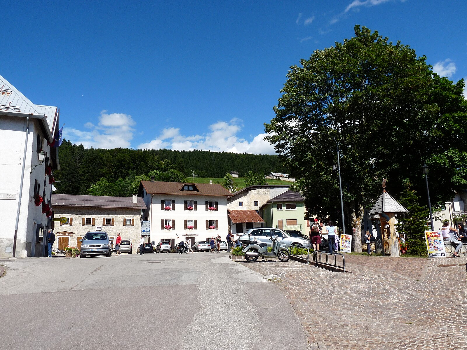
ライブカメラ
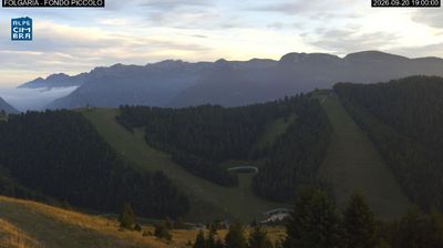
営業中のリフト: 0/28
積雪情報
- 過去24時間: 0 cm
- 過去72時間: 0 cm
- 過去7日間: 0 cm
- 過去7日間: 山麓 0cm · 中腹 0cm · 山頂 0cm
- シーズン累計: 0 cm
About Lavarone
A tranquil Trentino escape where frozen lake skating and Austro-Hungarian history meet a slow-paced, family-friendly atmosphere.
Highlights
- Frozen lake skating
- Austro-Hungarian heritage
- Gentle forest trails
- Artisanal mountain cheese
Key Facts
- Altitude: 1174m
- Top lift: 1600m
- Ski pistes: 30km
- Ski lifts: 14
- Population: 1,194
- Lakes nearby: 2
- MTB trails: 34.8km
- Mountain huts: 28
Ski Area
この目的地が含まれるシーズンパス
Weather and 10-day forecast for Lavarone
- Today: 11 to 20 °C, clear sky, 9 h of sunshine
- Freezing level today: about 4211 m (4020 to 4320 m)
| Day | Min / max | Sky | Precipitation | Sunshine |
|---|---|---|---|---|
| 9月20日(日) | 11 / 20 °C | clear sky | dry | 9 h sun |
| 9月21日(月) | 12 / 19 °C | overcast | dry | 2 h sun |
| 9月22日(火) | 7 / 16 °C | clear sky | dry | 11 h sun |
| 9月23日(水) | 7 / 14 °C | partly cloudy | dry | 6 h sun |
| 9月24日(木) | 6 / 16 °C | clear sky | dry | 11 h sun |
| 9月25日(金) | 7 / 15 °C | overcast | dry | 1 h sun |
| 9月26日(土) | 5 / 19 °C | clear sky | dry | 9 h sun |
| 9月27日(日) | 7 / 18 °C | overcast | dry | 2 h sun |
| 9月28日(月) | 7 / 19 °C | clear sky | dry | 12 h sun |
| 9月29日(火) | 6 / 18 °C | clear sky | dry | 11 h sun |
Things to do in Lavarone
Hikes nearby — Lavarone (16)
16 curated hiking trails around Lavarone, sourced from OpenStreetMap and enriched with distance, elevation gain and difficulty.
-
Itinerario Valle dell'Astico
Percorso percorribile a piedi e in bicicletta dagli Schiri (Cogollo del Cengio) a Lastebasse
-
Sentiero "Mario Magnago"
-
Sentiero Valle Rio Torto
-
Valle Rio Torto
-
Strada de la Riva
The Strada de la Riva begins at Scalzeri, crossing a bridge before bearing left toward Pedemonte, where a generic waymarker bears the trail's name. It passes through stretches of woodland and meadow on gentle gradients, with the surrounding terrain opening up beautifully in seasons when bare trees reveal the panorama beyond.
-
Sentiero dell'Ancino o del Lanzino
-
Sentiero attrezzato della strada della Val Careta
-
Scalzeri di Pedemonte - Luserna
-
Sentiero dei Piani
-
Sentiero Attrezzato del Tamazol
-
Via Ferrata della Val Scura "Clemente Chiesa"
-
Sentiero della Pegolara
-
Senter del Menador
The trail climbs out of Santa Giuliana through tight switchbacks and traverses a landslide-scarred slope — shored up with timber — where views open across the Alta Valsugana to the lakes of Caldonazzo and Levico. Higher up, a fixed rope guides walkers past a rocky step before the path breaks onto the plateau rim at a wayside chapel, with the Baita Cangi clearing just beyond.
-
Itinerario Ex Forte - San Valentino
-
Itinerario Part dei Boschi
-
Itinerario Biotopo Pizé - Val de l'Orco
Mountain biking near Lavarone
- Strada Romana Claudia Augusta Altinate
- Il Respiro degli Alberi
- Sentiero del ronco
Getting to Lavarone
Door-to-door travel times as used by the MR. ALPS ranking.
- Nearest airport: Bolzano Airport (BZO), 58 km away, about 1h19 by road
- Trento: 44 min by car, 35 km
- Bolzano - Bozen: 1h23 by car, 95 km
- Padova: 1h26 by car, 104 km
- Verona: 1h35 by car, 111 km
- Brescia: 2h06 by car, 147 km
- Bologna: 2h37 by car, 216 km
Where to stay in Lavarone
200 places to stay for a night on 2026-09-25, from 84 EUR per night, median 157 EUR. Prices are direct with hotels and destinations, compared live on the Lavarone page.