La Norma
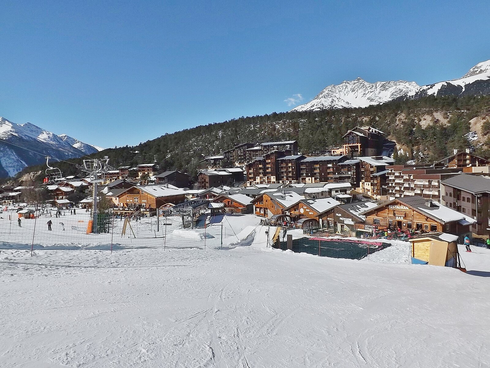
ライブカメラ

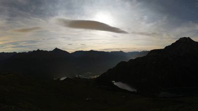
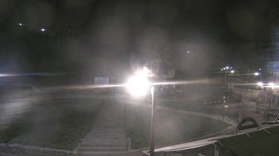
営業中のリフト: 0/13
積雪情報
- 過去24時間: 0 cm
- 過去72時間: 0 cm
- 過去7日間: 0 cm
- 過去7日間: 山麓 0cm · 中腹 0cm · 山頂 0cm
- シーズン累計: 4.9 cm
About La Norma
A compact, car-free sanctuary in the Maurienne Valley favored by French families for its cozy wooden architecture and relaxed pace.
Highlights
- Pedestrianized center
- Family-friendly terrain
- Traditional wood chalets
- Quiet mountain charm
Key Facts
- Altitude: 1365m
- Top lift: 2750m
- Ski pistes: 65km
- Ski lifts: 13
- Population: 511
- Lakes nearby: 18
- MTB trails: 133.6km
- Mountain huts: 18
Ski Area
この目的地が含まれるシーズンパス
Weather and 10-day forecast for La Norma
- Today: 7 to 17 °C, clear sky, 12 h of sunshine
- Freezing level today: about 4498 m (4380 to 4660 m)
| Day | Min / max | Sky | Precipitation | Sunshine |
|---|---|---|---|---|
| 9月22日(火) | 7 / 17 °C | clear sky | dry | 12 h sun |
| 9月23日(水) | 8 / 16 °C | clear sky | dry | 12 h sun |
| 9月24日(木) | 7 / 16 °C | partly cloudy | dry | 5 h sun |
| 9月25日(金) | 4 / 17 °C | overcast | dry | 4 h sun |
| 9月26日(土) | 3 / 18 °C | clear sky | dry | 10 h sun |
| 9月27日(日) | 6 / 19 °C | partly cloudy | dry | 4 h sun |
| 9月28日(月) | 8 / 19 °C | clear sky | dry | 10 h sun |
| 9月29日(火) | 7 / 19 °C | clear sky | dry | 12 h sun |
| 9月30日(水) | 6 / 18 °C | overcast | dry | 1 h sun |
| 10月1日(木) | 7 / 14 °C | drizzle | dry | 1 h sun |
Things to do in La Norma
Hikes nearby — La Norma (15)
15 curated hiking trails around La Norma, sourced from OpenStreetMap and enriched with distance, elevation gain and difficulty.
-
Circuit des escaliers
Une promenade très agréable ouverte à tous, qui se déroule sous couvert forestier et offre un joli panorama sur La Norma. Promenade en forêt conseillée par fortes chaleurs, le sentier est abrité et procure un peu de fraîcheur.
-
Randonnée vers la Chapelle Sainte-Anne
Randonnée facile qui mène à la Chapelle Sainte-Anne. A noter : l'accès pédestre est interdit par arrêté municipal pendant la période hivernale (réservé aux skieurs)
-
Sentier de la Forêt d'Erica
Le sentier d'Erica est un itinéraire ludique et de ressourcement adapté à tous les marcheurs : débutants, petits et grands, jeunes et moins jeunes. Il permet de s'imprégner de l'atmosphère de cette forêt à haute valeur environnementale.
-
Via Alpina Red R125
Modane - Granges de la Vallée Etroite
-
GR 5 Variante Modane Gare
-
Via Alpina Red R124
Termignon-la-Vanoise - Modane
-
Sentier raquettes Les Sources
-
Vallon de l'Orgère
A loop through the Orgère Valley at the foot of the Aiguilles de la Vanoise, the trail passes a mountain hut and the small chapel of Notre-Dame-des-Neiges, with marmots, nutcrackers, wild blueberries, raspberries, and strawberries along the way. Interpretive sound and written panels recount the history of the valley and Vanoise National Park.
-
Les Forts de l'Esseillon
The trail passes through the Haute Maurienne valley to reach five stone forts perched at nearly 1,500 m altitude, built by the Kingdom of Piedmont-Sardinia between 1820 and 1850 to block French passage into Italy. From these ramparts, the views sweep across the Vallée de l'Arc toward the Aiguille de la Norma, the Crête des Sarrasins, and the Dent Parrachée, one of the landmark summits of the Parc de la Vanoise.
-
Le Monolithe
-
Sentiero Balcone
-
Le Lac du Génépy
-
Sentier Balcon de la Turra à la Loza
-
Col d'Aussois
-
Lac de la Portette
Mountain biking near La Norma
- Le Pont du Diable
- Le Grand Canyon
- Montée Enduro - La Norma
- L'avalanche
- La Vipérine
- Les sangliers
- Moulinator 1
- La Sapinette
Getting to La Norma
Door-to-door travel times as used by the MR. ALPS ranking.
- Nearest airport: Turin Airport (TRN), 75 km away, about 1h45 by road
- Chambéry: 1h17 by car, 108 km
- Torino: 1h38 by car, 114 km
- Grenoble: 1h41 by car, 139 km
- Annecy: 1h49 by car, 156 km
- Genève: 2h16 by car, 193 km
- Lyon: 2h27 by car, 206 km
Where to stay in La Norma
43 places to stay for a night on 2026-09-25, from 80 EUR per night, median 92 EUR. Prices are direct with hotels and destinations, compared live on the La Norma page.