La Lécherette
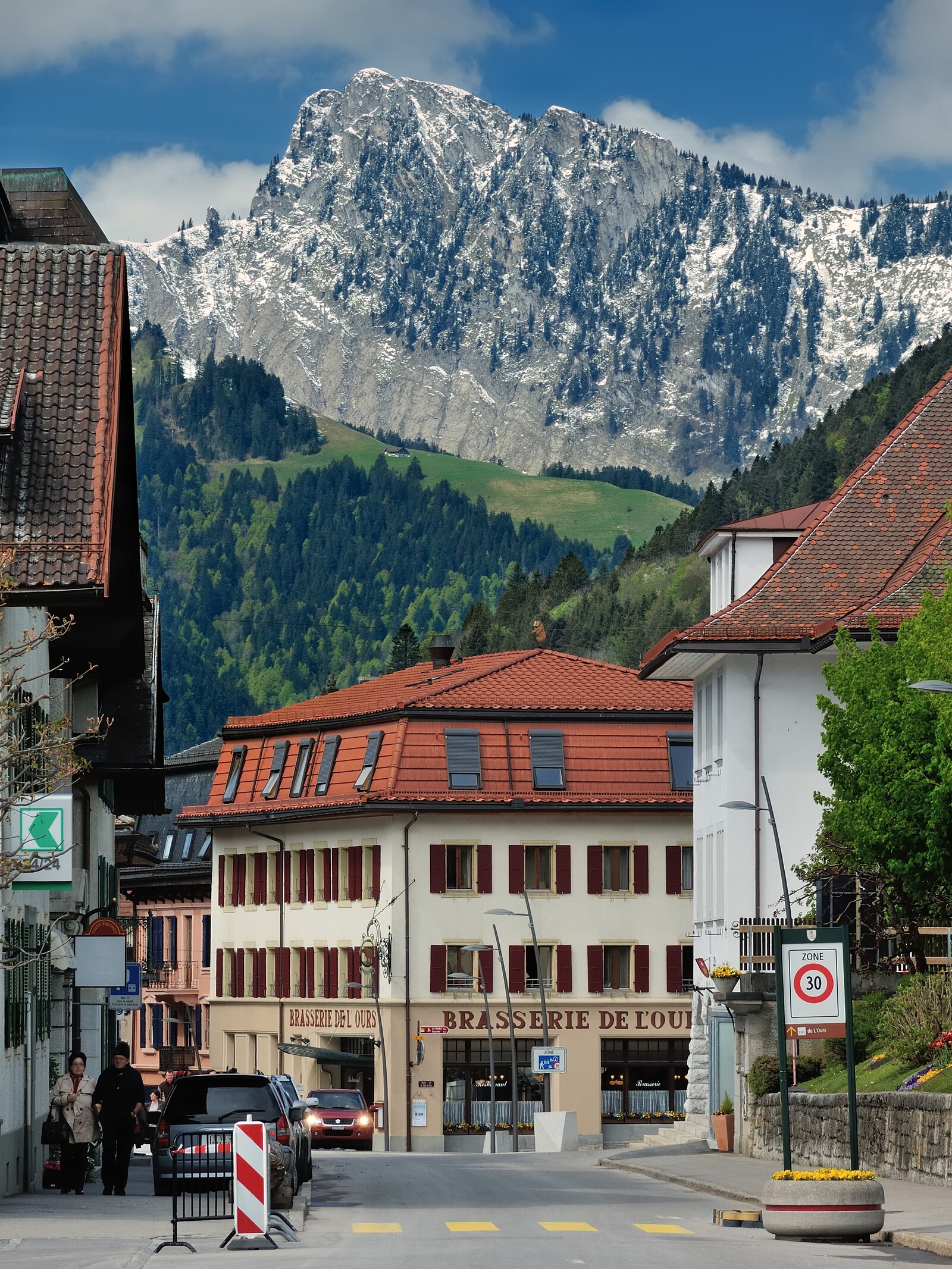
ライブカメラ

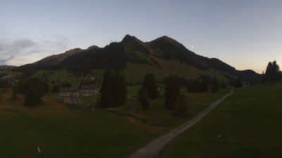
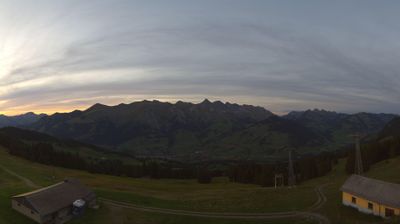
営業中のリフト: 0%
積雪情報
- 過去24時間: 0 cm
- 過去72時間: 0 cm
- 過去7日間: 0 cm
- 過去7日間: 山麓 0cm · 中腹 0cm · 山頂 0cm
- シーズン累計: 0 cm
About La Lécherette
A quiet Vaudois outpost where vintage Swiss charm meets uncrowded slopes, serving as a gateway to the vast Espace des Alpes Vaudoises.
Highlights
- Rural Swiss charm
- Family-friendly terrain
- Cross-country trails
- Alpine cheese dairies
Key Facts
- Altitude: 1382m
- Top lift: 1874m
- Ski pistes: 40km
- Ski lifts: 14
- Population: 46
- Lakes nearby: 9
- MTB trails: 160km
- Mountain huts: 15
Ski Area
この目的地が含まれるシーズンパス
Weather and 10-day forecast for La Lécherette
- Today: 9 to 18 °C, partly cloudy, 8 h of sunshine
- Freezing level today: about 4206 m (4090 to 4290 m)
| Day | Min / max | Sky | Precipitation | Sunshine |
|---|---|---|---|---|
| 9月20日(日) | 9 / 18 °C | partly cloudy | dry | 8 h sun |
| 9月21日(月) | 6 / 16 °C | overcast | dry | 3 h sun |
| 9月22日(火) | 6 / 18 °C | clear sky | dry | 12 h sun |
| 9月23日(水) | 7 / 17 °C | clear sky | dry | 12 h sun |
| 9月24日(木) | 5 / 12 °C | partly cloudy | dry | 7 h sun |
| 9月25日(金) | 3 / 15 °C | clear sky | dry | 11 h sun |
| 9月26日(土) | 6 / 17 °C | clear sky | dry | 12 h sun |
| 9月27日(日) | 7 / 18 °C | clear sky | dry | 9 h sun |
| 9月28日(月) | 9 / 17 °C | clear sky | dry | 11 h sun |
| 9月29日(火) | 9 / 17 °C | drizzle | dry | 6 h sun |
Things to do in La Lécherette
Hikes nearby — La Lécherette (20)
20+ curated hiking trails around La Lécherette, sourced from OpenStreetMap and enriched with distance, elevation gain and difficulty.
-
Via Alpina
-
Via Alpina
From the summit of Rochers de Naye, the route traces the southwestern ridge dropping toward Lake Geneva before threading a narrow passage between two rock faces at Sautodoz, then winds through forested slopes past the peaks of Les Dentaux to reach Haut-de-Caux. The final stretch delivers an unexpected landmark: the Caux Palace, a grand hotel built in 1902 that defined the Belle Époque character of the area.
-
Via Alpina
-
Tour des Alpes Vaudoises Étape 3
-
Le Grand Tour des Vanils
From the Grand Chalet de Rossinière to the Auberge de la Croix de Fer in Allières, the route threads through forests and alpine pastures — the same grasslands that ultimately produce cheese — with panoramic views sweeping across the Dent de Corjon, the Vanils, and the Gummfluh.
-
Tour des Alpes Vaudoises Étape 4
-
Tour des Alpes Vaudoises Étape 2
From Leysin, the route threads through forests and pastures to Les Fers before climbing to the Tour de Famelon summit at 2138m, with views stretching across Lac de l'Hongrin, the Dents du Midi, and the Dent de Corjon. The path then passes the Pierre du Moëllé and its geological formations before descending via Mont d'Or to Les Mosses.
-
Tour des Alpes Vaudoises Étape 5
-
Tour des Alpes Vaudoises Étape 6
-
Tour Tête de la Minaude
-
Chemin de la Sarine au Pays-d'Enhaut
-
Luan-Ai
-
Prafandaz - fixme
-
Prafandaz - fixme
-
Tour des Alpes Vaudoises: Col des Mosses - Château-d'Oex, gare
-
Via Alpina: L'Etivaz - Rossinière, gare
-
Via Alpina: Rossinière, gare - Rochers de Naye
-
Tour des Alpes Vaudoises: Château-d'Oex, gare - L'Etivaz
-
Tour des Alpes Vaudoises: Leysin-Feydey, gare - Col des Mosses
-
Sentier des trois tours de Leysin
Mountain biking near La Lécherette
- Alpine Bike
- Panorama Bike - Étape 14
- Alpes de la Région du Léman Bike (Stage 1, Leysin - Les Diablerets)
- Bretaye - Villars
- Isenau Bike
- Montreux Panorama Bike
- Route de Brison
Getting to La Lécherette
Door-to-door travel times as used by the MR. ALPS ranking.
- Nearest airport: Geneva International Airport (GVA), 79 km away, about 1h48 by road
- Lausanne: 58 min by car, 68 km
- Bern: 1h20 by car, 94 km
- Genève: 1h37 by car, 130 km
- Biel/Bienne: 1h47 by car, 133 km
- Annecy: 2h11 by car, 172 km
- Basel: 2h23 by car, 188 km
Where to stay in La Lécherette
161 places to stay for a night on 2026-09-25, from 83 EUR per night, median 191 EUR. Prices are direct with hotels and destinations, compared live on the La Lécherette page.