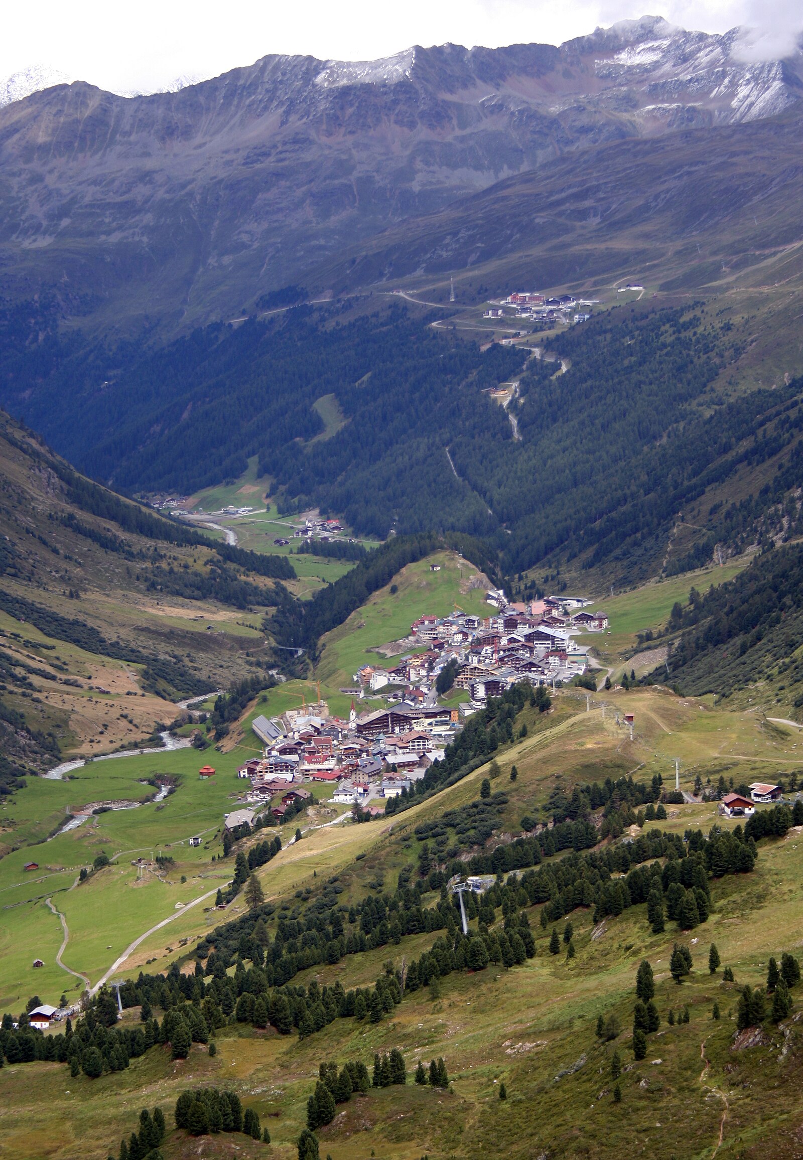
Hochgurgl
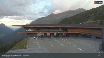
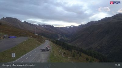
ライブカメラ
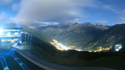
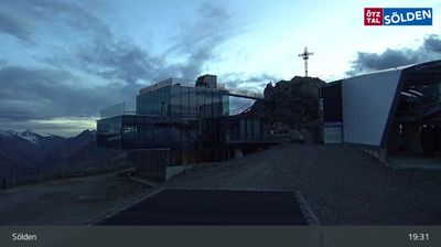
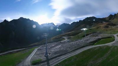
営業中のリフト: 0/25
積雪情報
- 過去24時間: 0 cm
- 過去72時間: 0 cm
- 過去7日間: 0.2 cm
- 過去7日間: 山麓 0.2cm · 中腹 0.2cm · 山頂 0.2cm
- シーズン累計: 34.9 cm
About Hochgurgl
Perched at the edge of the sky, this high-altitude outpost defines elite seclusion with its sleek hotels and immediate glacier access.
Highlights
- High-altitude luxury
- Glacier-side dining
- Ultra-modern lifts
- Uninterrupted snow cover
Key Facts
- Altitude: 2150m
- Top lift: 3030m
- Ski pistes: 112km
- Ski lifts: 25
- Population: 5
- Lakes nearby: 20
- MTB trails: 191.5km
- Mountain huts: 27
Ski Area
この目的地が含まれるシーズンパス
Weather and 10-day forecast for Hochgurgl
- Today: 0 to 8 °C, partly cloudy, 4 h of sunshine
- Freezing level today: about 3299 m (2650 to 4080 m)
| Day | Min / max | Sky | Precipitation | Sunshine |
|---|---|---|---|---|
| 9月21日(月) | 0 / 8 °C | partly cloudy | dry | 4 h sun |
| 9月22日(火) | -1 / 5 °C | clear sky | dry | 12 h sun |
| 9月23日(水) | 0 / 11 °C | clear sky | dry | 12 h sun |
| 9月24日(木) | 0 / 5 °C | clear sky | dry | 8 h sun |
| 9月25日(金) | -1 / 10 °C | clear sky | dry | 12 h sun |
| 9月26日(土) | 6 / 12 °C | clear sky | dry | 11 h sun |
| 9月27日(日) | 6 / 10 °C | overcast | dry | 1 h sun |
| 9月28日(月) | 2 / 13 °C | clear sky | dry | 12 h sun |
| 9月29日(火) | 1 / 12 °C | clear sky | dry | 11 h sun |
| 9月30日(水) | 1 / 12 °C | clear sky | dry | 11 h sun |
Things to do in Hochgurgl
Hikes nearby — Hochgurgl (16)
16 curated hiking trails around Hochgurgl, sourced from OpenStreetMap and enriched with distance, elevation gain and difficulty.
-
Ötztal Trek Etappe 10
The route climbs from Obergurgl through fragrant pine forests and alpine meadows, with a recommended rest stop at the Hochwildhaus refuge before the final push to the Ramolhaus at 3,001 metres. The terrain is demanding — steep, partly pathless slopes in high-mountain country on the trail of the glacier mummy "Ötzi."
-
Via Alpina Yellow B33
Vent - Zwieselstein
-
Via Alpina Yellow B34
Zwieselstein - Braunschweiger Hütte
-
Ötztal Trek Etappe 09
Gh Hochfirst → Brunnenkogelhaus
-
Timmelsjoch - Brunnenkogel-Schutzhaus
-
Brunnbergalm - Brunnenkogel-Schutzhaus
-
Windachtal - Brunnenkogel-Schutzhaus
The trail climbs through the Windachtal gorge to the Brunnenkogelhaus, a mountain hut perched directly on the 2,738 m summit of the Brunnenkogel, surrounded by the Stubai and Ötztal Alps. The peak itself is built from gneiss that glows in shifting colours — brown-reddish on one side, greenish on the other.
-
Ötztal Trek Etappe 08
Siegerlandhütte → Gh Hochfirst
-
Ötztal Trek Etappe 17
Breslauer Hütte → Braunschweiger Hütte
-
Venter Höhenweg
-
Piccard-Übergang
-
Mittlerer Erlebnispfad
-
Sonnberg-Höhenweg
-
Ötztal Trek Etappe 09a
Brunnenkogelhaus → Sölden
-
Ötztal Trek Etappe 06
Hochstubaihaus → Hildesheimer Hütte
-
Panoramaweg
Mountain biking near Hochgurgl
- Bodenegg
- Hochgurgl - Wurmkogel
- Fernar Trail
- Gurgler Achweg
- Löple's Trail
- Kaiser Trail
Getting to Hochgurgl
Door-to-door travel times as used by the MR. ALPS ranking.
- Nearest airport: Innsbruck Airport (INN), 46 km away, about 1h32 by road
- Bolzano - Bozen: 1h26 by car, 90 km
- Innsbruck: 1h29 by car, 104 km
- Trento: 1h55 by car, 140 km
- Verona: 2h52 by car, 235 km
- München: 2h55 by car, 207 km
- Brescia: 3h23 by car, 271 km
Where to stay in Hochgurgl
200 places to stay for a night on 2026-09-25, from 156 EUR per night, median 326 EUR. Prices are direct with hotels and destinations, compared live on the Hochgurgl page.