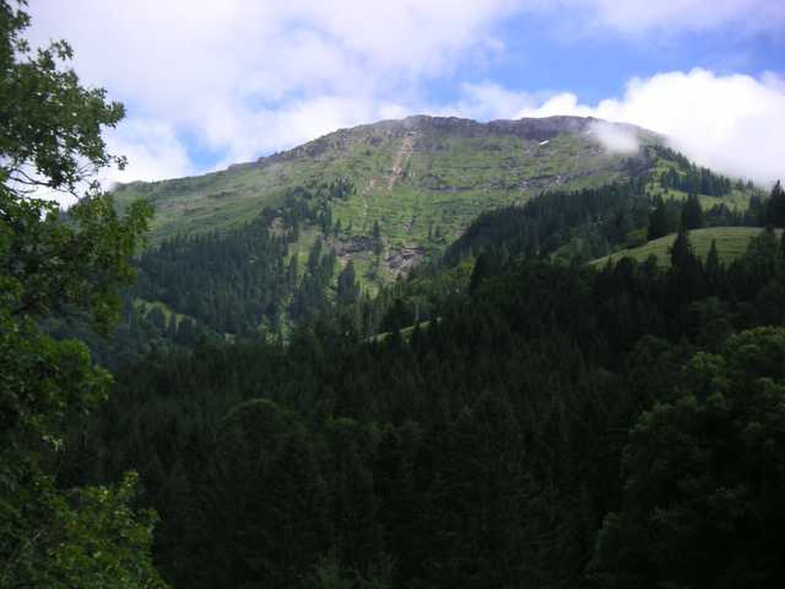
Hochgrat (Oberstaufen)
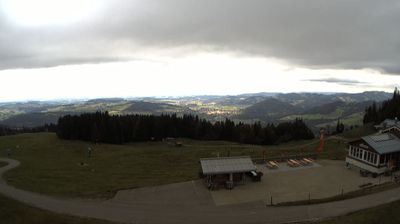
ライブカメラ

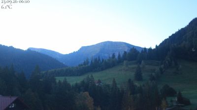
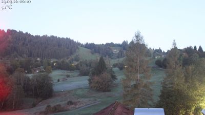
営業中のリフト: 0%
積雪情報
- 過去24時間: 0 cm
- 過去72時間: 0 cm
- 過去7日間: 0 cm
- 過去7日間: 山麓 0cm · 中腹 0cm · 山頂 0cm
- シーズン累計: 0 cm
About Hochgrat (Oberstaufen)
A rugged Bavarian peak where sun-drenched ridges and legendary full-moon skiing sessions define the true Allgäu spirit.
Highlights
- Steep powder bowls
- Full-moon night skiing
- Rustic alpine huts
- Sunset ridge hikes
Key Facts
- Altitude: 856m
- Top lift: 1708m
- Ski pistes: 5km
- Ski lifts: 1
- Population: 7,852
- Lakes nearby: 17
- MTB trails: 105km
- Mountain huts: 24
Ski Area
Weather and 10-day forecast for Hochgrat (Oberstaufen)
- Today: 8 to 14 °C, overcast, 2 h of sunshine
- Freezing level today: about 3217 m (2640 to 3810 m)
| Day | Min / max | Sky | Precipitation | Sunshine |
|---|---|---|---|---|
| 9月24日(木) | 8 / 14 °C | overcast | dry | 2 h sun |
| 9月25日(金) | 7 / 14 °C | clear sky | dry | 10 h sun |
| 9月26日(土) | 8 / 19 °C | clear sky | dry | 12 h sun |
| 9月27日(日) | 9 / 21 °C | clear sky | dry | 12 h sun |
| 9月28日(月) | 11 / 22 °C | clear sky | dry | 12 h sun |
| 9月29日(火) | 9 / 22 °C | clear sky | dry | 12 h sun |
| 9月30日(水) | 9 / 21 °C | clear sky | dry | 12 h sun |
| 10月1日(木) | 10 / 22 °C | clear sky | dry | 11 h sun |
| 10月2日(金) | 9 / 14 °C | rain showers | dry | 0 h sun |
| 10月3日(土) | 8 / 12 °C | drizzle | dry | 2 h sun |
Things to do in Hochgrat (Oberstaufen)
Hikes nearby — Hochgrat (Oberstaufen) (15)
15 curated hiking trails around Hochgrat (Oberstaufen), sourced from OpenStreetMap and enriched with distance, elevation gain and difficulty.
-
Nord Süd Trail, Abschnitt Weiler im Allgäu - Ofterschwang
-
Premiumwanderweg Nagelfluhschleife Alpenfreiheit
-
Premiumwanderweg Alpin Luftiger Grat
-
Wandergebiet Oberstaufen
-
Premiumwanderweg Wildes Wasser
-
Alperlebnispfad am Imberg
-
Wandertrilogie Etappe 13 Alpe Gund - Immenstadt/Bühl am Alpsee
-
Rund um den Staufen
-
Großer Alpsee Rundwanderweg
このトレイルはGroßer Alpseeを一周し、カワセミ(Eisvogel)のシンボルが描かれた標識によって全行程が示されており、BühlのAlpSeeHausから時計回りのルートをたどって湖の青い水を見渡す高台の展望ポイントを通過し、メインパスのすぐ脇に位置するGschwender Wasserfallへの任意の寄り道も楽しめます。
-
Wanderwegenetz Immenstadt
-
Wandertrilogie Etappe 36 Oberstaufen-Oberreute
Oberstaufen - Kapf - Hinterreute - Oberreute
-
Rundweg Alpvielfalt
-
Grenzer Pfad
-
Wasserwanderweg Hittisau
-
Beslerrunde
Mountain biking near Hochgrat (Oberstaufen)
- Hittisau-Lecknertal-Alpe Scheidwang
- Amagmach
Getting to Hochgrat (Oberstaufen)
Door-to-door travel times as used by the MR. ALPS ranking.
- Nearest airport: Bodensee Airport Friedrichshafen (FDH), 47 km away, about 1h22 by road
- Zürich: 2h35 by car, 165 km
- München: 2h36 by car, 177 km
- Stuttgart: 3h by car, 240 km
- Innsbruck: 3h01 by car, 176 km
- Luzern: 3h11 by car, 216 km
- Basel: 3h29 by car, 244 km
Where to stay in Hochgrat (Oberstaufen)
200 places to stay for a night on 2026-09-25, from 130 EUR per night, median 362 EUR. Prices are direct with hotels and destinations, compared live on the Hochgrat (Oberstaufen) page.