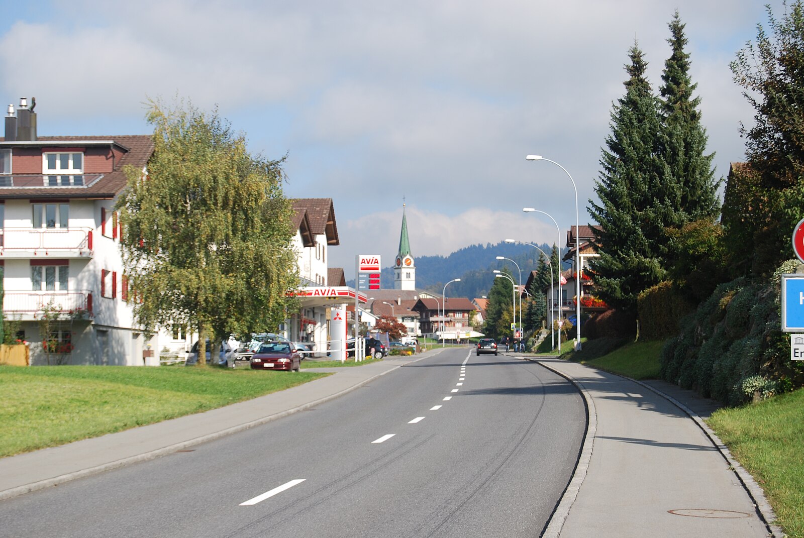
Heiligkreuz-First – Hasle
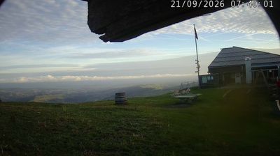
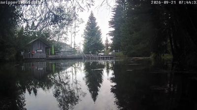
ライブカメラ
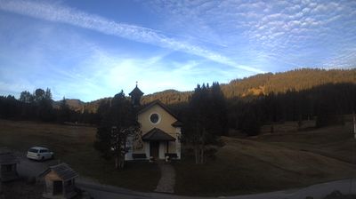

営業中のリフト: 0%
積雪情報
- 過去24時間: 0 cm
- 過去72時間: 0 cm
- 過去7日間: 0 cm
- 過去7日間: 山麓 0cm · 中腹 0cm · 山頂 0cm
- シーズン累計: 0 cm
About Heiligkreuz-First – Hasle
A quiet spiritual retreat in the Entlebuch biosphere, where locals escape for meditative winter hikes and nostalgia-heavy sledding.
Highlights
- UNESCO biosphere setting
- Pilgrimage site heritage
- Traditional wooden architecture
- Panoramic ridge trails
Key Facts
- Altitude: 1121m
- Top lift: 1468m
- Ski pistes: 4km
- Ski lifts: 2
- Population: 1,739
- Lakes nearby: 3
- MTB trails: 296.6km
- Mountain huts: 6
Ski Area
Weather and 10-day forecast for Heiligkreuz-First – Hasle
- Today: 7 to 13 °C, clear sky, 12 h of sunshine
- Freezing level today: about 3979 m (3730 to 4170 m)
| Day | Min / max | Sky | Precipitation | Sunshine |
|---|---|---|---|---|
| 9月22日(火) | 7 / 13 °C | clear sky | dry | 12 h sun |
| 9月23日(水) | 8 / 17 °C | clear sky | dry | 12 h sun |
| 9月24日(木) | 8 / 16 °C | overcast | dry | 1 h sun |
| 9月25日(金) | 6 / 15 °C | partly cloudy | dry | 7 h sun |
| 9月26日(土) | 8 / 19 °C | clear sky | dry | 9 h sun |
| 9月27日(日) | 10 / 19 °C | overcast | dry | 3 h sun |
| 9月28日(月) | 9 / 21 °C | clear sky | dry | 11 h sun |
| 9月29日(火) | 8 / 21 °C | clear sky | dry | 12 h sun |
| 9月30日(水) | 10 / 20 °C | overcast | dry | 2 h sun |
| 10月1日(木) | 11 / 20 °C | drizzle | dry | 1 h sun |
Things to do in Heiligkreuz-First – Hasle
Hikes nearby — Heiligkreuz-First – Hasle (20)
20+ curated hiking trails around Heiligkreuz-First – Hasle, sourced from OpenStreetMap and enriched with distance, elevation gain and difficulty.
-
Emmenuferweg - Etappe 2
-
Emmenuferweg - Etappe 3
-
Biosphärenzentrum Entlebuch
-
Berghaus First - Reistegg - Heiligkreuz
-
Hasle - Heiligkreuz
This circular winter hike departs from the pilgrimage church of Heiligkreuz — a stop worth pausing at before or after the walk — and climbs through the moorlands and alpine terrain of the UNESCO Entlebuch Biosphere Reserve to the mountain restaurant First.
-
Wasserfallenegg - Grön
-
Heiligkreuz - First - Berghaus First
-
Feldmoos - Entlebuch
-
Chrummatt - Drachslis
-
Munistein -Dietenwart Gräben
-
Drachslis - Ober Länggrat
-
Doppelschwand - Oberhüseren
-
Fontanne - Hängelenflue
-
Bramboden - Hängelenflue
-
Doppelschwand - Oberhüseren
-
Emmenuferweg: Schüpfheim - _VZ Wolhusen Bahnhof
-
Emmenuferweg: Sörenberg - Schüpfheim
-
Köhlerweg Romoos
-
Obwaldner Höhenweg: Pilatus - Langis
-
Grenzpfad Napfbergland: Napf - Trubschachen
Mountain biking near Heiligkreuz-First – Hasle
- Äntlibuecher Tour
- Schimbrig First Tour
- Stäfeli
- Chöhler - Tour
- Kleiner Susten - Tour
- Farneren Tour
Getting to Heiligkreuz-First – Hasle
Door-to-door travel times as used by the MR. ALPS ranking.
- Nearest airport: Bern Airport (BRN), 42 km away, about 1h16 by road
- Luzern: 48 min by car, 31 km
- Bern: 1h17 by train, 67 km
- Zürich: 1h22 by car, 79 km
- Basel: 1h35 by car, 97 km
- Biel/Bienne: 1h42 by car, 97 km
- Lausanne: 2h29 by car, 168 km
Where to stay in Heiligkreuz-First – Hasle
10 places to stay for a night on 2026-09-18, from 239 EUR per night, median 280 EUR. Prices are direct with hotels and destinations, compared live on the Heiligkreuz-First – Hasle page.