Gurnigelbad
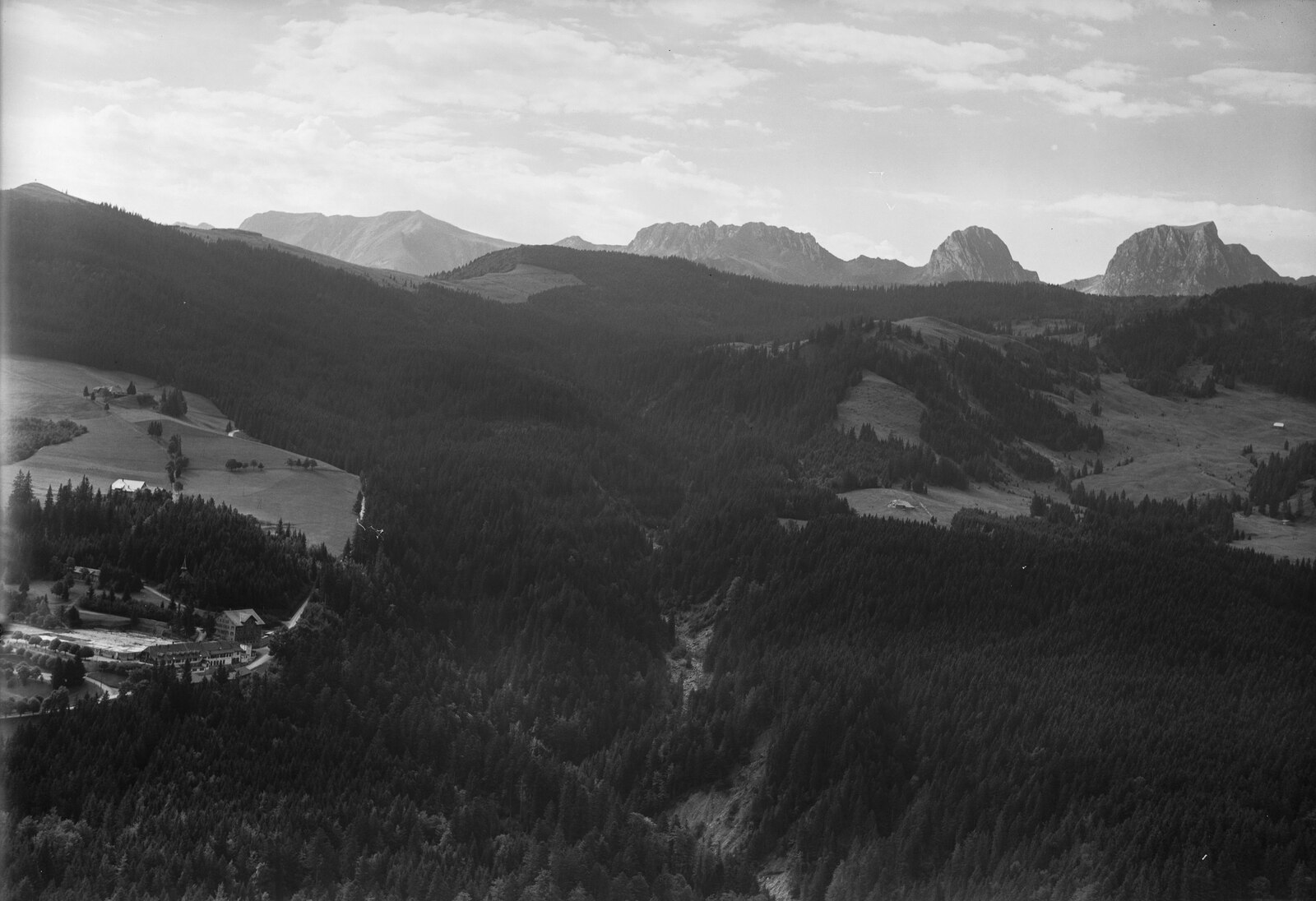
ライブカメラ
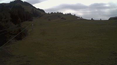
積雪情報
- 過去24時間: 0 cm
- 過去72時間: 0 cm
- 過去7日間: 0 cm
- 過去7日間: 山麓 0cm · 中腹 0cm · 山頂 0cm
- シーズン累計: 0 cm
About Gurnigelbad
A historic wellness retreat offering panoramic views of the Bernese Alps and a quiet escape from the bustle of the capital.
Highlights
- Panoramic ridge views
- Historic thermal heritage
- Gentle hiking trails
- Serene forest setting
Key Facts
- Altitude: 1129m
- Top lift: 1250m
- Ski pistes: 1km
- Ski lifts: 1
- Lakes nearby: 10
- MTB trails: 154km
- Mountain huts: 12
Ski Area
この目的地が含まれるシーズンパス
Weather and 10-day forecast for Gurnigelbad
- Today: 10 to 16 °C, partly cloudy, 5 h of sunshine
- Freezing level today: about 3905 m (3780 to 4160 m)
| Day | Min / max | Sky | Precipitation | Sunshine |
|---|---|---|---|---|
| 9月21日(月) | 10 / 16 °C | partly cloudy | dry | 5 h sun |
| 9月22日(火) | 10 / 16 °C | clear sky | dry | 12 h sun |
| 9月23日(水) | 9 / 19 °C | clear sky | dry | 12 h sun |
| 9月24日(木) | 9 / 17 °C | overcast | dry | 5 h sun |
| 9月25日(金) | 7 / 18 °C | clear sky | dry | 12 h sun |
| 9月26日(土) | 11 / 21 °C | partly cloudy | dry | 8 h sun |
| 9月27日(日) | 13 / 22 °C | partly cloudy | dry | 8 h sun |
| 9月28日(月) | 15 / 23 °C | clear sky | dry | 12 h sun |
| 9月29日(火) | 15 / 23 °C | clear sky | dry | 12 h sun |
| 9月30日(水) | 14 / 24 °C | clear sky | dry | 12 h sun |
Things to do in Gurnigelbad
Hikes nearby — Gurnigelbad (20)
20+ curated hiking trails around Gurnigelbad, sourced from OpenStreetMap and enriched with distance, elevation gain and difficulty.
-
Gantrisch Panoramaweg
A ridge-top path through the Naturpark Gantrisch, where panorama boards at viewpoints like Selibühl and Schüpfenfluh orient you toward the Gantrischkette peaks to the south and the Berner Mittelland stretching north to the Jura. The route's strangest landmark is the Gäggersteg, a wooden elevated walkway threading through the tangle of fallen trees and upended root plates left behind by the 1999 hurricane Lothar.
-
ViaJacobi
-
Selibüel Rundweg
The Selibüel Rundweg loops through a strictly protected nature reserve in the Gantrisch region, where dead trees left untouched since the 1999 storm Lothar rise like totem poles against the sky, sheltering insects, lichens, mosses, and a resident black grouse population. A panorama board at the Selibüel viewpoint faces east, taking in a sweep from the Napf and the central Swiss mountains to the 4000-metre peaks of the Bernese Oberland on clear days.
-
Schwändli - Gurnigel Berghaus
-
Feli - Rüschegg / Rütiplötsch
-
Wislisau - Feli
-
Alpenpanorama-Weg
-
Alpenpanorama-Weg
-
Alpenpanorama-Weg
-
Henzischwand - Granegg/Burgruine
-
Rüeggisberg - Riedstettwald
-
Rüeggisberg - Schwanden
-
Laubbach - Brönnti Egg
-
Schwarzwasser Sense Schluchtenweg
-
Gürbetaler Höhenweg
ギュルベターラー・ヘーエンヴェークは、スイスのナトゥーアパーク・ガントリッシュにあるベルン大都市圏のギュルベ川上方に位置する、全長27kmのハイキングコースです。
-
Gürbe-Wildwasserweg
-
Gantrisch-Panoramaweg
-
ViaJacobi: Wattenwil - Schwarzenburg
-
Alpenpanorama-Weg: Rüeggisberg - BE-38031
-
Schwarzwasser-Sense-Schluchtenweg: Schwarzwasserbrücke - Schwarzenburg
Mountain biking near Gurnigelbad
- Panorama Bike - Etappe 11
- Gantrisch Königsroute
- Gurnigelwald-Gürbe
- Rund ums Guggershorn
- Gibelegg
Getting to Gurnigelbad
Door-to-door travel times as used by the MR. ALPS ranking.
- Nearest airport: Bern Airport (BRN), 17 km away, about 29 min by road
- Bern: 35 min by car, 29 km
- Biel/Bienne: 1h05 by car, 71 km
- Lausanne: 1h35 by car, 110 km
- Basel: 1h41 by car, 126 km
- Luzern: 1h50 by car, 142 km
- Zürich: 2h01 by car, 153 km
Where to stay in Gurnigelbad
15 places to stay for a night on 2026-09-25, from 165 EUR per night, median 173 EUR. Prices are direct with hotels and destinations, compared live on the Gurnigelbad page.