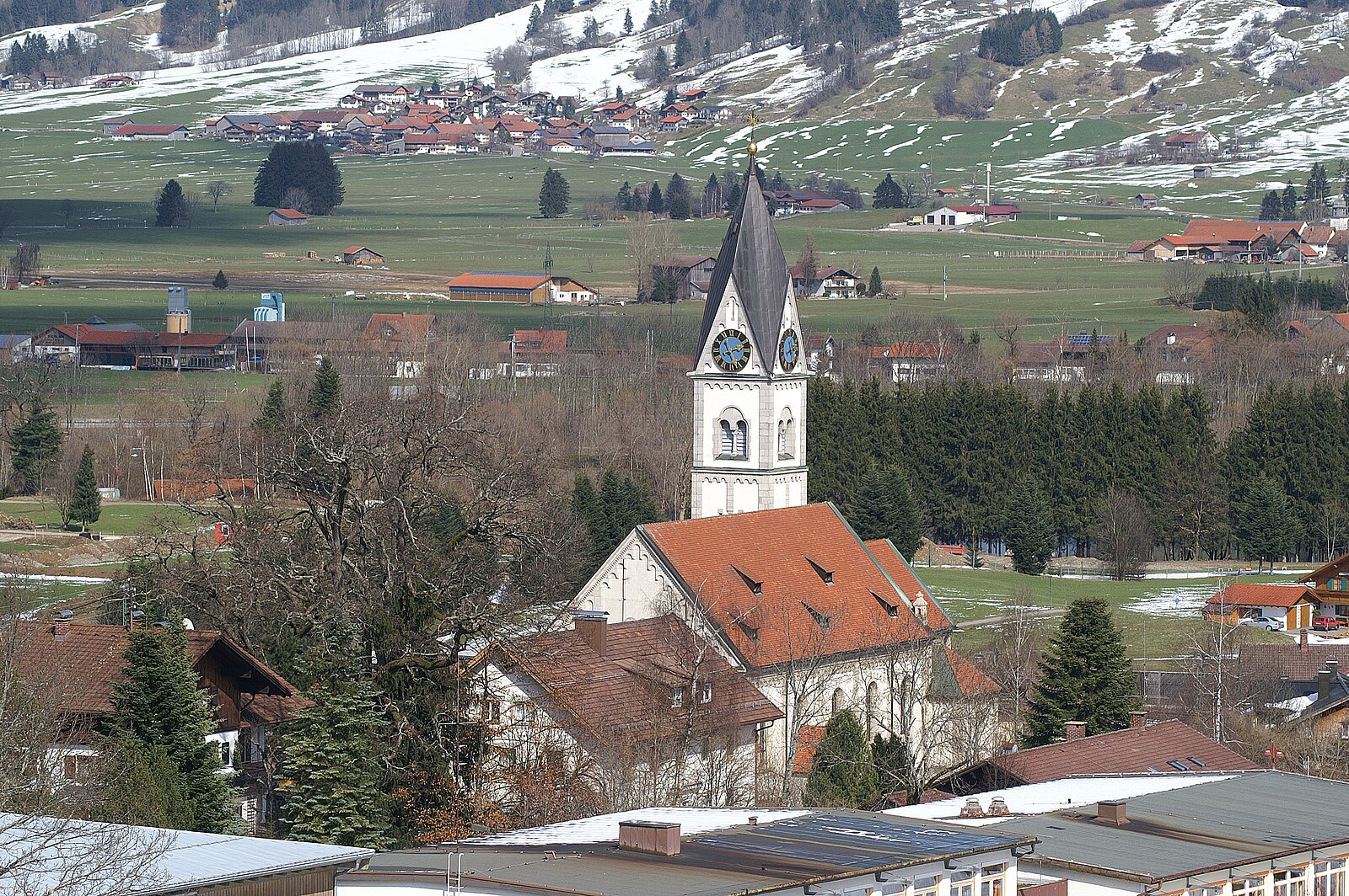
Gunzesried
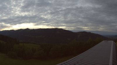
ライブカメラ
営業中のリフト: 0/7
積雪情報
- 過去24時間: 0 cm
- 過去72時間: 0 cm
- 過去7日間: 0 cm
- 過去7日間: 山麓 0cm · 中腹 0cm · 山頂 0cm
- シーズン累計: 0 cm
About Gunzesried
A quiet Allgäu sanctuary where heritage dairy farming and slow-paced mountain living eclipse the noise of modern mass tourism.
Highlights
- Artisan alpine cheese
- Traditional Nagelfluh scenery
- Quiet valley atmosphere
- Family-run guesthouses
Key Facts
- Altitude: 897m
- Top lift: 1405m
- Ski pistes: 16km
- Ski lifts: 7
- Population: 2,092
- Lakes nearby: 21
- MTB trails: 21.7km
- Mountain huts: 27
Ski Area
Weather and 10-day forecast for Gunzesried
- Today: 11 to 20 °C, partly cloudy, 7 h of sunshine
- Freezing level today: about 3972 m (3360 to 4130 m)
| Day | Min / max | Sky | Precipitation | Sunshine |
|---|---|---|---|---|
| 9月20日(日) | 11 / 20 °C | partly cloudy | dry | 7 h sun |
| 9月21日(月) | 8 / 15 °C | overcast | dry | 2 h sun |
| 9月22日(火) | 6 / 14 °C | clear sky | dry | 12 h sun |
| 9月23日(水) | 5 / 16 °C | clear sky | dry | 12 h sun |
| 9月24日(木) | 8 / 18 °C | partly cloudy | dry | 8 h sun |
| 9月25日(金) | 8 / 19 °C | overcast | dry | 2 h sun |
| 9月26日(土) | 7 / 21 °C | clear sky | dry | 12 h sun |
| 9月27日(日) | 9 / 23 °C | partly cloudy | dry | 4 h sun |
| 9月28日(月) | 7 / 22 °C | clear sky | dry | 12 h sun |
| 9月29日(火) | 7 / 21 °C | clear sky | dry | 12 h sun |
Things to do in Gunzesried
Hikes nearby — Gunzesried (14)
14 curated hiking trails around Gunzesried, sourced from OpenStreetMap and enriched with distance, elevation gain and difficulty.
-
Europäischer Fernwanderweg E5, Deutschland
The E5 European long distance path or E5 path is one of the European long-distance paths from the French Atlantic coast in Brittany through Switzerland, Austria and Germany over the Alps to Venice in Italy. It is waymarked over the whole 3200 km distance. The heaviest used section is the last part, which crosses Europe’s highest mountains from Lake Constance to Italy. Even this part does not requi
-
Nord Süd Trail, Abschnitt Weiler im Allgäu - Ofterschwang
-
Nord Süd Trail, Abschnitt Ofterschwang - Haldenwanger Eck
-
Rundweg Alpvielfalt
-
Wanderwegenetz Sonthofen
-
Wandertrilogie Etappe 13 Alpe Gund - Immenstadt/Bühl am Alpsee
-
Wandertrilogie Himmelsstürmer Etappe 20 Schwarzenberghütte/Hinterstein - Bad Hindelang
-
Wanderwegenetz Immenstadt
-
Starzlachklamm Wanderweg
-
Großer Alpsee Rundwanderweg
このトレイルはGroßer Alpseeを一周し、カワセミ(Eisvogel)のシンボルが描かれた標識によって全行程が示されており、BühlのAlpSeeHausから時計回りのルートをたどって湖の青い水を見渡す高台の展望ポイントを通過し、メインパスのすぐ脇に位置するGschwender Wasserfallへの任意の寄り道も楽しめます。
-
Georg´s Geowelt Forscherpfad
-
Wanderwegenetz Bad Hindelang
Beschilderte Wanderwege in Bad Hindelang ohne Nummerierung
-
Um den Hochholder
-
Beslerrunde
Mountain biking near Gunzesried
- Königsweg
Getting to Gunzesried
Door-to-door travel times as used by the MR. ALPS ranking.
- Nearest airport: Memmingen Allgau Airport (FMM), 55 km away, about 1h by road
- München: 1h57 by car, 155 km
- Stuttgart: 2h20 by car, 219 km
- Innsbruck: 2h21 by car, 153 km
- Zürich: 2h37 by car, 186 km
- Nürnberg: 3h05 by car, 303 km
- Luzern: 3h12 by car, 238 km
Where to stay in Gunzesried
200 places to stay for a night on 2026-09-25, from 155 EUR per night, median 227 EUR. Prices are direct with hotels and destinations, compared live on the Gunzesried page.