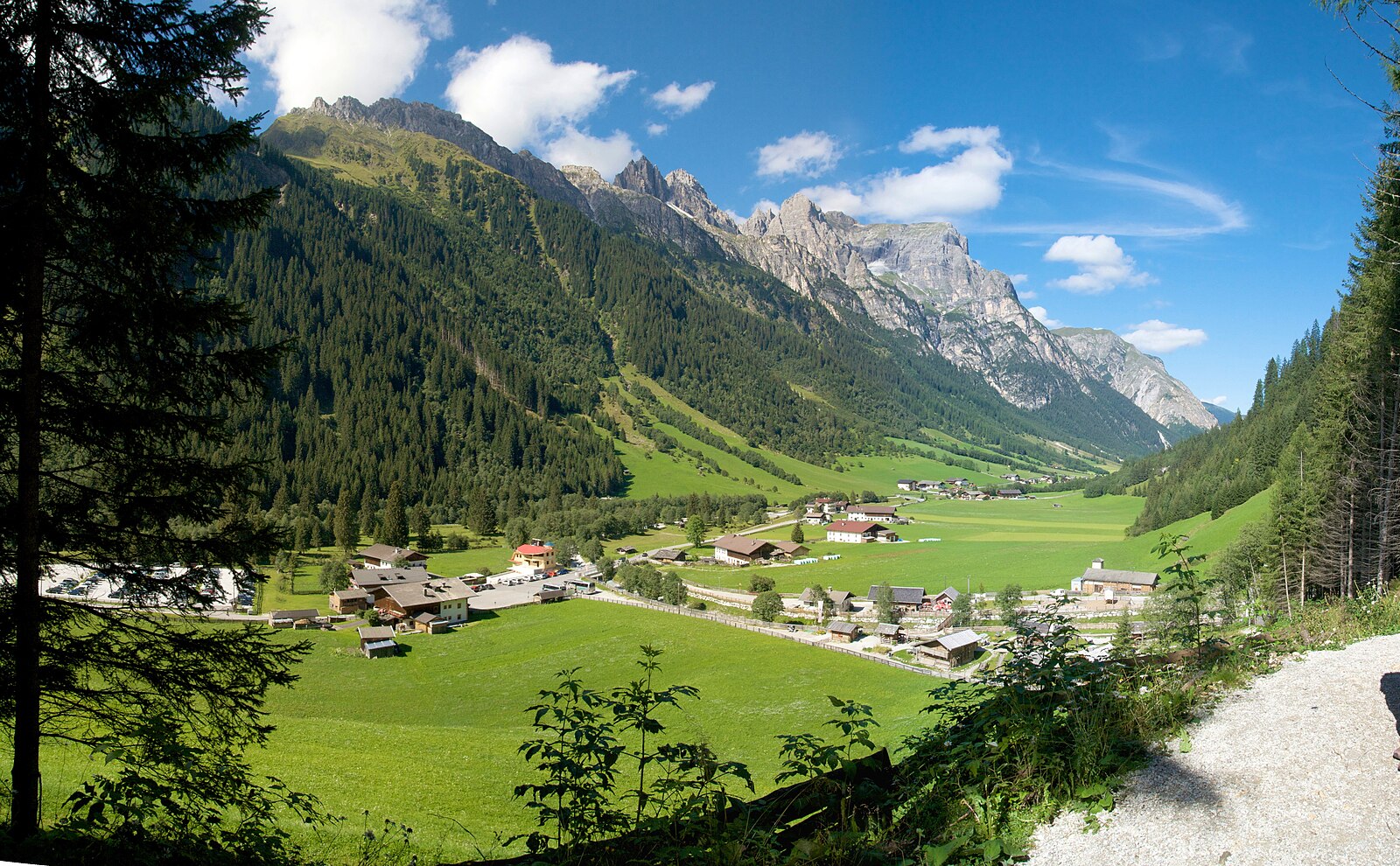
Gschnitz
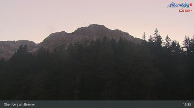
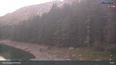
ライブカメラ

積雪情報
- 過去24時間: 0 cm
- 過去72時間: 0 cm
- 過去7日間: 0 cm
- 過去7日間: 山麓 0cm · 中腹 0cm · 山頂 0cm
- シーズン累計: 3.6 cm
About Gschnitz
A secluded Tyrolean sanctuary where massive rock faces frame a quiet valley preserved from the reach of modern commercialism.
Highlights
- Traditional farmhouse architecture
- Dramatic limestone walls
- Peaceful hiking trails
- Authentic alpine solitude
Key Facts
- Altitude: 1281m
- Top lift: 1350m
- Ski pistes: 1km
- Ski lifts: 1
- Population: 434
- Lakes nearby: 16
- MTB trails: 221.5km
- Mountain huts: 39
Ski Area
Weather and 10-day forecast for Gschnitz
- Today: 5 to 17 °C, clear sky, 12 h of sunshine
- Freezing level today: about 3533 m (2810 to 3750 m)
| Day | Min / max | Sky | Precipitation | Sunshine |
|---|---|---|---|---|
| 9月23日(水) | 5 / 17 °C | clear sky | dry | 12 h sun |
| 9月24日(木) | 6 / 16 °C | overcast | dry | 3 h sun |
| 9月25日(金) | 6 / 15 °C | clear sky | dry | 10 h sun |
| 9月26日(土) | 9 / 19 °C | clear sky | dry | 12 h sun |
| 9月27日(日) | 12 / 22 °C | clear sky | dry | 12 h sun |
| 9月28日(月) | 13 / 24 °C | clear sky | dry | 12 h sun |
| 9月29日(火) | 13 / 24 °C | clear sky | dry | 11 h sun |
| 9月30日(水) | 12 / 22 °C | clear sky | dry | 10 h sun |
| 10月1日(木) | 8 / 21 °C | partly cloudy | dry | 6 h sun |
| 10月2日(金) | 7 / 20 °C | drizzle | dry | 1 h sun |
Things to do in Gschnitz
Hikes nearby — Gschnitz (16)
16 curated hiking trails around Gschnitz, sourced from OpenStreetMap and enriched with distance, elevation gain and difficulty.
-
Wanderweg 102 - Stubai
-
Stubaier Höhenweg
The Stubaier Höhenweg is a high-altitude circuit through the Stubai Valley mountain range of Tyrol, demanding sure-footedness and a head for heights across its challenging alpine terrain. It encircles the Stubai Alps, passing through a landscape of mountain lakes, glaciers, and dramatic high-mountain scenery.
-
Jubiläumssteig Innsbrucker Hütte
-
Gschnitztaler Hüttentour
A seven-day circuit around the mountaineering village of Gschnitztal — known locally as the "valley of huts" — this route threads through largely untouched landscape far from crowded trails, with sweeping views opening repeatedly to the jagged peaks of the Stubai Alps, including the Habicht, the Feuersteine, the Tribulaune, and the Serles. Each night ends at a mountain hut where owners serve authentic regional cuisine, most huts having retained their original character to this day.
-
Seilbahnsteig Innsbrucker Hütte
-
Wanderweg 50 - Laponesalm
-
Jubiläumssteig
The Jubiläumssteig climbs the Kirchdachspitze — the highest elevation in the Serleskamm ridge separating the Gschnitztal from the Pinnis and Stubaital valleys — ascending from the Pinnisalm through the wildly romantic Pinnistal valley. The trail winds up the mountain in serpentines with relatively few wire rope protections, passing through high-alpine terrain to reach the summit at 2,775 m.
-
Wanderweg Nr. 41
-
Wanderweg 134 - Stubai
-
Adlerweg Etappe 66
Von Sulzenauhütte zur Nürnberger Hütte
-
Wanderweg 135 - Stubai
-
Wasserfallweg
-
Pflerscher Höhenweg - Alta Via di Fleres
-
Besinnungsweg
-
Talweg
-
Hühnerspiel - Brandstattalm
Mountain biking near Gschnitz
- Obernberger Panoramatour
- Obernberger Lärchwiesenweg
- Frader Alm
- Jubiläumssteig
- Pflerscher Höhenweg - Alta Via di Fleres
- Laponesalm
- Flachjoch Trail
- Biketrail Flachjoch
Getting to Gschnitz
Door-to-door travel times as used by the MR. ALPS ranking.
- Nearest airport: Innsbruck Airport (INN), 25 km away, about 39 min by road
- Innsbruck: 42 min by car, 41 km
- Bolzano - Bozen: 1h33 by car, 108 km
- Trento: 2h03 by car, 164 km
- München: 2h25 by car, 176 km
- Verona: 3h01 by car, 259 km
- Brescia: 3h32 by car, 295 km
Where to stay in Gschnitz
183 places to stay for a night on 2026-09-25, from 146 EUR per night, median 292 EUR. Prices are direct with hotels and destinations, compared live on the Gschnitz page.