Grächen
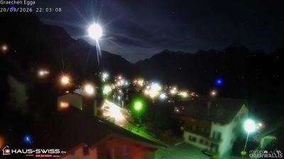
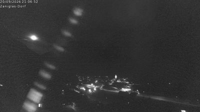
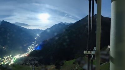
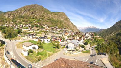
ライブカメラ
積雪情報
- 過去24時間: 0 cm
- 過去72時間: 0 cm
- 過去7日間: 0 cm
- 過去7日間: 山麓 0cm · 中腹 0cm · 山頂 0cm
- シーズン累計: 2.2 cm
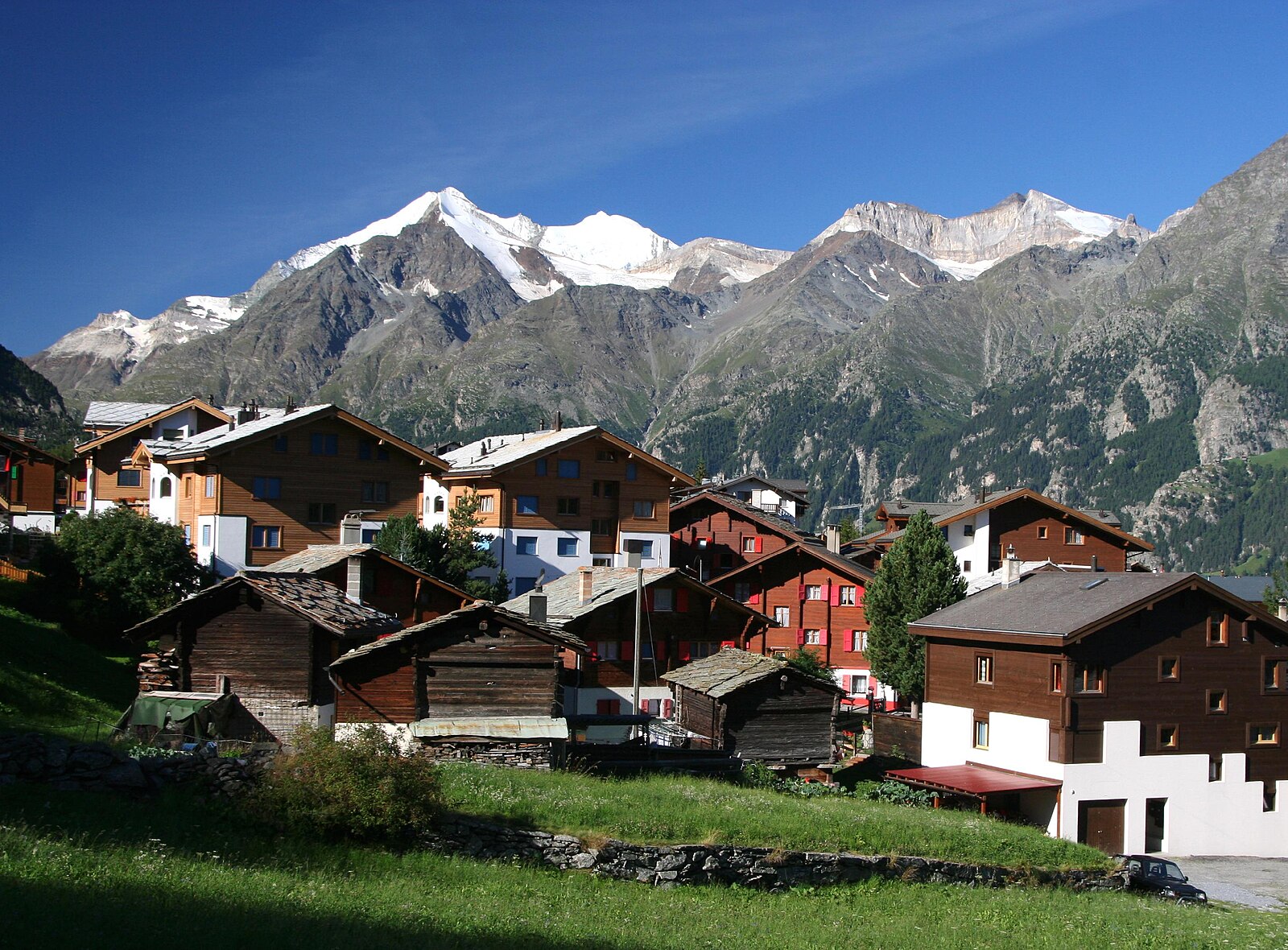
About Grächen
A sun-drenched terrace above the Mattertal that trades Zermatt’s glitz for a quiet, car-free atmosphere tailored to families.
Highlights
- Car-free village
- Family-oriented slopes
- South-facing sun terrace
- Fairytale gondola cabins
Key Facts
- Altitude: 1614m
- Top lift: 2864m
- Ski pistes: 44km
- Ski lifts: 11
- Population: 1,258
- 4000m+ peaks nearby: 15
- Lakes nearby: 12
- MTB trails: 146.4km
- Mountain huts: 11
Ski Area
この目的地が含まれるシーズンパス
Weather and 10-day forecast for Grächen
- Today: 8 to 15 °C, partly cloudy, 8 h of sunshine
- Freezing level today: about 4174 m (3950 to 4300 m)
| Day | Min / max | Sky | Precipitation | Sunshine |
|---|---|---|---|---|
| 9月20日(日) | 8 / 15 °C | partly cloudy | dry | 8 h sun |
| 9月21日(月) | 8 / 15 °C | overcast | dry | 1 h sun |
| 9月22日(火) | 7 / 16 °C | clear sky | dry | 12 h sun |
| 9月23日(水) | 7 / 16 °C | clear sky | dry | 12 h sun |
| 9月24日(木) | 6 / 16 °C | partly cloudy | dry | 7 h sun |
| 9月25日(金) | 8 / 17 °C | overcast | dry | 4 h sun |
| 9月26日(土) | 5 / 17 °C | clear sky | dry | 11 h sun |
| 9月27日(日) | 5 / 14 °C | overcast | dry | 1 h sun |
| 9月28日(月) | 2 / 19 °C | clear sky | dry | 12 h sun |
| 9月29日(火) | 5 / 18 °C | clear sky | dry | 12 h sun |
Things to do in Grächen
Hikes nearby — Grächen (20)
20+ curated hiking trails around Grächen, sourced from OpenStreetMap and enriched with distance, elevation gain and difficulty.
-
Tour Monte Rosa tappa 7
The path winds along narrow rock ledges high above the Saas Valley, passing old alpine farms and through larch forests, with panoramic views of the Mischabelhorns, the Fletschhorn, and deep glacial valleys below.
-
Tour Monte Rosa tappa 8
Tracing the opening stretch of the famous Europaweg, this stage cuts across steep, rocky slopes past the Grathorn viewpoint, with sweeping views over the Mattertal valley and the Weisshorn massif unfolding at every turn.
-
20-Alpenpässse-Weg
The route traverses the steep western flank of the Saas Valley along an exposed high-altitude path — some sections secured with wire cables — delivering constant panoramas of the Mischabel group, the Fletschhorn, the Weissmies, and the Matterhorn, with vertiginous views straight down into the valley below. The terrain shifts from open larch forest through boulder fields and across several avalanche chutes before arriving at the sunny terrace of Grächen.
-
Swiss Tour Monte Rosa
A high-altitude panoramic traverse linking Saas-Fee to Zermatt, the route strings together views of 13 four-thousanders visible from Saas-Fee alone, threading the steep flanks of the Mischabel group along the Europaweg before crossing the 500 m Charles Kuonen suspension bridge — the world's longest pedestrian suspension bridge — with the Matterhorn waiting at the far end.
-
Hannigalp-Saas-Fee
-
Balmu - Herbriggen
-
21-Alpenpässe-Weg
-
19-Alpenpässe-Weg
-
18-Alpenpässe-Weg
-
Randa Hängebrückenweg
visit suspension bridge
-
Grächen-Hannigalp
-
Grächerwald - Heidnische Tossu
-
Grächen-St. Niklaus
-
Hannigalp - Seetalhorn
-
Hannigalp - Wannehorn
-
Zauberwasser-Weg Grächen
-
Alpenpässe-Weg: Grächen - Gruben Meiden
-
Alpenpässe-Weg: Saas-Fee - Grächen
-
Swiss Tour Monte Rosa: Saas-Fee - Grächen
-
Swiss Tour Monte Rosa: Grächen - Europahütte
Mountain biking near Grächen
- Moosalp Plateau Bike
- Visp-Zermatt Bike
- Valais Alpine Bike - Stage 3
- Flowtrail Grächen
- Bargjitrail
Getting to Grächen
Door-to-door travel times as used by the MR. ALPS ranking.
- Nearest airport: Milan Malpensa International Airport (MXP), 93 km away, about 2h46 by road
- Bern: 1h52 by train, 113 km
- Lausanne: 2h08 by car, 162 km
- Biel/Bienne: 2h28 by train, 146 km
- Genève: 2h46 by car, 224 km
- Luzern: 2h58 by car, 182 km
- Milano: 3h12 by car, 221 km
Where to stay in Grächen
190 places to stay for a night on 2026-09-25, from 120 EUR per night, median 271 EUR. Prices are direct with hotels and destinations, compared live on the Grächen page.