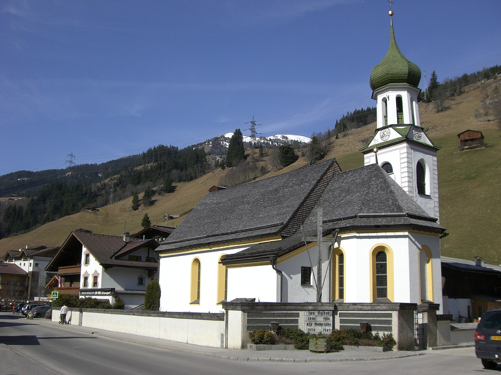
Gerlos
ライブカメラ
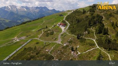
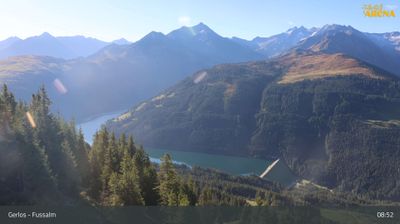
営業中のリフト: 0/52
積雪情報
- 過去24時間: 0 cm
- 過去72時間: 0 cm
- 過去7日間: 0 cm
- 過去7日間: 山麓 0cm · 中腹 0cm · 山頂 0cm
- シーズン累計: 18.2 cm
About Gerlos
Known as the party pulse of the Zillertal, this high-altitude village balances raucous après-ski with vast, interconnected slopes.
Highlights
- Raucous umbrella bars
- High-altitude snow reliability
- Lively nightlife scene
- Expansive valley terrain
Key Facts
- Altitude: 1246m
- Top lift: 2500m
- Ski pistes: 150km
- Ski lifts: 52
- Population: 792
- Lakes nearby: 19
- MTB trails: 206.3km
- Mountain huts: 15
Ski Area
Zillertal Arena – Zell am Ziller/Gerlos/Königsleiten/Hochkrimml
この目的地が含まれるシーズンパス
Weather and 10-day forecast for Gerlos
- Today: 8 to 16 °C, clear sky, 10 h of sunshine
- Freezing level today: about 3923 m (3270 to 4160 m)
| Day | Min / max | Sky | Precipitation | Sunshine |
|---|---|---|---|---|
| 9月20日(日) | 8 / 16 °C | clear sky | dry | 10 h sun |
| 9月21日(月) | 4 / 11 °C | overcast | dry | 2 h sun |
| 9月22日(火) | 1 / 8 °C | clear sky | dry | 13 h sun |
| 9月23日(水) | 3 / 13 °C | clear sky | dry | 13 h sun |
| 9月24日(木) | 5 / 12 °C | partly cloudy | dry | 8 h sun |
| 9月25日(金) | 5 / 15 °C | partly cloudy | dry | 5 h sun |
| 9月26日(土) | 4 / 17 °C | clear sky | dry | 11 h sun |
| 9月27日(日) | 9 / 19 °C | overcast | dry | 3 h sun |
| 9月28日(月) | 7 / 19 °C | clear sky | dry | 11 h sun |
| 9月29日(火) | 6 / 17 °C | clear sky | dry | 11 h sun |
Things to do in Gerlos
Hikes nearby — Gerlos (20)
20+ curated hiking trails around Gerlos, sourced from OpenStreetMap and enriched with distance, elevation gain and difficulty.
-
Wanderweg 511 - Gerlos
-
Wanderweg 511
Krimmler Tauernhaus (Wanderweg 512) - Rainbachsee - Rainbachscharte - Zittauerhütte
-
Wanderweg 540
Krimmler Tauern (Wanderweg 541)- Windbachscharte - Richterhütte - Roßkarscharte - Zittauerhütte (Wanderweg 511)
-
Wanderweg 513
-
Wasserfall-Trail
This valley trail between Gerlos and the small Gerlosbach reservoir near Gmünd is lined with 40 installations — among them strange artworks up to 3 m tall, carved wooden figures, a waterwheel, a small biotope, and play areas for children — all designed to deepen the connection between people and ecology.
-
Wanderweg 7a - Gerlos
-
Bachrunde
-
Innertal-Runde
-
Wanderweg 2 - Gerlos
-
Wanderweg 9 - Gerlos
-
Wanderweg 3 - Gerlos
-
Wanderweg 8 - Gerlos
-
Gmündner Seemeile
The trail follows the Gerlosbach stream through a romantic forest path from Gerlos village to the Gmünder Stausee reservoir, passing through a short tunnel before emerging along the scenic lakeshore. A 2025 art installation by Zillertaler artist HAKI marks six stations along the return loop, inviting walkers to pause amid the reservoir's surroundings.
-
Wanderweg 7 - Gerlos
-
Wanderweg 6 - Gerlos
-
Wanderweg 5 - Gerlos
-
Zillertal-Arena Wanderweg 1
-
Wanderweg 4 - Gerlos
-
Zillertal-Arena Wanderweg 2
-
2-Seen-Runde
Mountain biking near Gerlos
- Arena Panorama Tour
- Gerlos - Isskogel
- Kellnerrunde
- Gerlos - Schwarzachalm
- Kreuzwiesenalm
- Iss-Flow
- Iss-Tough
- Iss-Shore
Getting to Gerlos
Door-to-door travel times as used by the MR. ALPS ranking.
- Nearest airport: Innsbruck Airport (INN), 52 km away, about 1h17 by road
- Innsbruck: 1h10 by car, 77 km
- München: 2h09 by car, 168 km
- Bolzano - Bozen: 2h36 by car, 192 km
- Trento: 3h07 by car, 248 km
- Nürnberg: 3h38 by car, 337 km
- Verona: 4h05 by car, 343 km
Where to stay in Gerlos
200 places to stay for a night on 2026-09-25, from 137 EUR per night, median 434 EUR. Prices are direct with hotels and destinations, compared live on the Gerlos page.