Garmisch-Partenkirchen
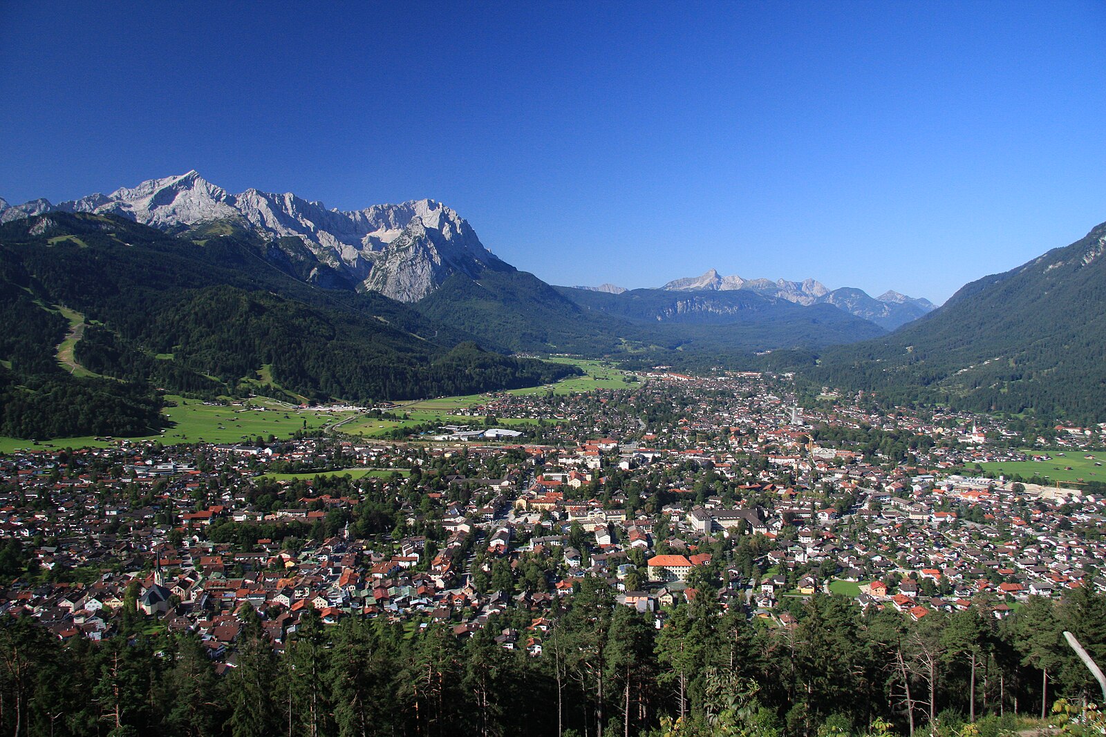
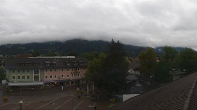
ライブカメラ


営業中のリフト: 0/18
積雪情報
- 過去24時間: 0 cm
- 過去72時間: 0 cm
- 過去7日間: 0 cm
- 過去7日間: 山麓 0cm · 中腹 0cm · 山頂 0cm
- シーズン累計: 0 cm
About Garmisch-Partenkirchen
A Bavarian powerhouse where Olympic history meets traditional frescoes under the shadow of Germany's highest peak.
Highlights
- Olympic ski jumping
- Lüftlmalerei frescoed walls
- High-altitude glacier runs
- Bavarian beer halls
Key Facts
- Altitude: 1332m
- Top lift: 2050m
- Ski pistes: 40km
- Ski lifts: 18
- Population: 28,305
- Lakes nearby: 20
- MTB trails: 169.9km
- Mountain huts: 29
Ski Area
Weather and 10-day forecast for Garmisch-Partenkirchen
- Today: 3 to 12 °C, clear sky, 12 h of sunshine
- Freezing level today: about 3573 m (3100 to 3830 m)
| Day | Min / max | Sky | Precipitation | Sunshine |
|---|---|---|---|---|
| 9月23日(水) | 3 / 12 °C | clear sky | dry | 12 h sun |
| 9月24日(木) | 4 / 12 °C | overcast | dry | 1 h sun |
| 9月25日(金) | 3 / 11 °C | clear sky | dry | 10 h sun |
| 9月26日(土) | 7 / 16 °C | clear sky | dry | 12 h sun |
| 9月27日(日) | 9 / 18 °C | clear sky | dry | 12 h sun |
| 9月28日(月) | 10 / 19 °C | clear sky | dry | 12 h sun |
| 9月29日(火) | 9 / 20 °C | clear sky | dry | 11 h sun |
| 9月30日(水) | 9 / 19 °C | clear sky | dry | 11 h sun |
| 10月1日(木) | 6 / 17 °C | drizzle | dry | 1 h sun |
| 10月2日(金) | 4 / 8 °C | drizzle | dry | 0 h sun |
Things to do in Garmisch-Partenkirchen
Hikes nearby — Garmisch-Partenkirchen (19)
19 curated hiking trails around Garmisch-Partenkirchen, sourced from OpenStreetMap and enriched with distance, elevation gain and difficulty.
-
Via Alpina Red R45
Meilerhütte - Reintalangerhütte
-
Via Alpina Purple A59
Weilheimer Hütte - Garmisch-Partenkirchen
-
Via Alpina Purple A60
Garmisch-Partenkirchen - Linderhof
-
AV Weg 801
Ehrwald - WN-Hütte - Zugspitze - Reintal - Scharnitz
-
Route 17
-
AV Weg 842 (Kaelbersteig)
-
AV Weg 835 (Bernadeinsteig)
-
AV Weg 831A (Höllental)
-
Kramerplateauweg
The Kramerplateauweg traces a path above the rooftops of Garmisch-Partenkirchen, leading hikers to the ruins of Werdenfels castle. In winter, snow-laden treetops and the stillness of the Bavarian Alpine landscape define the route.
-
Sagenhafter Bergwald
-
Wegenetz der Gemeinde Garmisch-Partenkirchen
-
AV Weg 841 (Schachenweg)
-
Panoramaweg Grainau
The trail links Garmisch-Partenkirchen and Grainau along the foot of the Kramer mountain, delivering open views across the Wetterstein and Karwendel ranges without demanding serious elevation gain. Along the way, the route passes the Kriegergedächtniskapelle, the ruins of Burgruine Werdenfels, and the Berggasthof Pflegersee, where a lakeside terrace awaits.
-
Kramersteig
-
Philosophenweg
-
Klima & Wasser im Wandel
A loop through the village of Grainau and along the Höhenrain panoramic path, this trail stops at 10 stations where you can observe wandering trees, stressed spruce forests, and the visible retreat of Alpine glaciers up close. An info terminal at the Kurhaus opens the route with three 3-D animation films covering the post-Ice Age rockfall at the Zugspitze, the journey of water through the Höllental, and glacier change.
-
AV Weg 815 (Gaistal - Gatterl - Knorrhütte)
このルートはアルプスの草原とハイマツの林を抜けて登り、Gatterlの安全確保された岩場の通路を越え、最後のZugspitze山頂とその有名な十字架への登攀の前にKnorrhütteへとハイカーを導きます。
-
AV Weg 820 (grün)
-
AV Weg 816 (Gaistalalm - Feldernjöchel)
Mountain biking near Garmisch-Partenkirchen
- Rund um die Thörlen
- Königsweg
- Thörle-Eibsee
- 256
- Kramersteig
- Gelbes Gwänd Steig
Getting to Garmisch-Partenkirchen
Door-to-door travel times as used by the MR. ALPS ranking.
- Nearest airport: Innsbruck Airport (INN), 29 km away, about 2h55 by road
- Innsbruck: 3h03 by car, 73 km
- München: 3h09 by car, 103 km
- Bolzano - Bozen: 4h27 by car, 185 km
- Nürnberg: 4h54 by car, 281 km
- Trento: 4h58 by car, 241 km
- Stuttgart: 5h14 by car, 285 km
Where to stay in Garmisch-Partenkirchen
200 places to stay for a night on 2026-09-25, from 174 EUR per night, median 303 EUR. Prices are direct with hotels and destinations, compared live on the Garmisch-Partenkirchen page.