Elsigen-Metsch – Frutigen
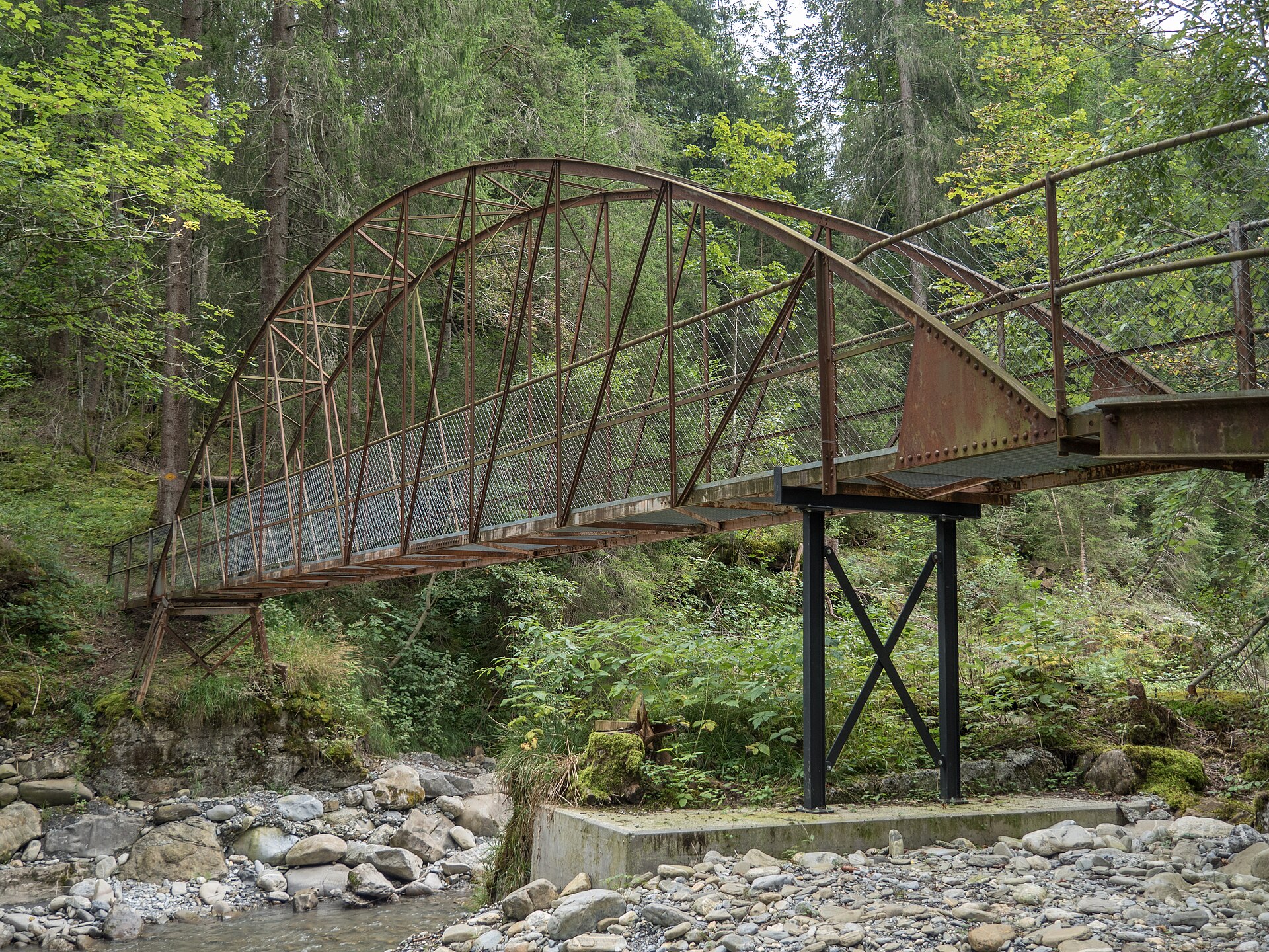
ライブカメラ

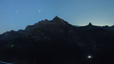

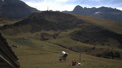
営業中のリフト: 0/22
積雪情報
- 過去24時間: 0 cm
- 過去72時間: 0 cm
- 過去7日間: 0 cm
- 過去7日間: 山麓 0cm · 中腹 0cm · 山頂 0cm
- シーズン累計: 1.3 cm
About Elsigen-Metsch – Frutigen
A hidden Bernese gem where locals escape the crowds for wide, sun-soaked slopes and a refreshingly low-key atmosphere.
Highlights
- Uncrowded family runs
- Bernese Oberland views
- Authentic mountain huts
- Local weekend vibe
Key Facts
- Altitude: 1322m
- Top lift: 2289m
- Ski pistes: 30km
- Ski lifts: 11
- Lakes nearby: 9
- MTB trails: 93.4km
- Mountain huts: 26
Ski Area
この目的地が含まれるシーズンパス
Weather and 10-day forecast for Elsigen-Metsch – Frutigen
- Today: 7 to 18 °C, clear sky, 9 h of sunshine
- Freezing level today: about 4095 m (3720 to 4380 m)
| Day | Min / max | Sky | Precipitation | Sunshine |
|---|---|---|---|---|
| 9月25日(金) | 7 / 18 °C | clear sky | dry | 9 h sun |
| 9月26日(土) | 10 / 18 °C | clear sky | dry | 12 h sun |
| 9月27日(日) | 10 / 20 °C | clear sky | dry | 12 h sun |
| 9月28日(月) | 12 / 21 °C | clear sky | dry | 9 h sun |
| 9月29日(火) | 12 / 20 °C | overcast | dry | 3 h sun |
| 9月30日(水) | 13 / 19 °C | overcast | 2 mm rain | 1 h sun |
| 10月1日(木) | 11 / 20 °C | thunderstorm | 42 mm rain | 2 h sun |
| 10月2日(金) | 8 / 11 °C | rain | 17 mm rain | 0 h sun |
| 10月3日(土) | 8 / 13 °C | drizzle | 11 mm rain | 11 h sun |
| 10月4日(日) | 10 / 16 °C | rain showers | 13 mm rain | 11 h sun |
Things to do in Elsigen-Metsch – Frutigen
Hikes nearby — Elsigen-Metsch – Frutigen (20)
20+ curated hiking trails around Elsigen-Metsch – Frutigen, sourced from OpenStreetMap and enriched with distance, elevation gain and difficulty.
-
Lötschberger Nordrampe
The trail traces the historic Lötschberg mountain railway line between Kandersteg and Frutigen, climbing high above the tracks to deliver views of viaducts and helical tunnels cut into the Kandertal valley below. Along the way, 34 information boards in four languages recount the engineering and history of this mountain railway.
-
Via Alpina
-
Elsigbach - Elsigenalp
-
Höchst - Elsigenalp
-
Cholerenschlucht Rundweg
-
Gempelen - Rinderwald
-
Elsigenalp - Elsigsee
-
Bonderalp - Elsigensee
From the Elsigenalp, the route passes the Brandsee and traverses lush alpine meadows via Alp Metsch and Bonderalp, with sweeping views across the entire Engstligtal toward Adelboden and the surrounding peaks. Beyond the Berghaus Bonderalp, the path joins the Via Alpina, the well-marked trail threading through some of the Bernese Oberland's most storied high-mountain terrain.
-
Frutigen - Elsighorn
The trail climbs to 2342 m over safe, straightforward terrain, rewarding hikers at the summit with a sweeping panorama stretching from the Bernese Alps across the Thunersee all the way to the Jura.
-
Frutigen - Elsigbach
-
Rinderwald - Otterealp
-
Undere Allme - First - Stand
-
Höh - Stand
-
Ried - Gempelen
-
Reinisch - Rohrbach
-
Bonderalp - Bunderchrinde
-
Lohnerfälle - Bonderalp
-
Oberberg - Männliflue
From Oberberg at 1,926m, this hard out-and-back route threads through consistently open terrain at the foot of mountain passes, offering a quieter way into the Diemtigtal Nature Park with the Männliflue always drawing the eye ahead.
-
Höhenweg Elsigenalp-Adelboden
-
Via Alpina: Kandersteg - BE-12002
Mountain biking near Elsigen-Metsch – Frutigen
- MTB Freeride Kandersteg
- Alptrail
- Weryhorny
- MTB Freeridetrail
- Old T-Bar
- MTB Freeride Kandersteg Variante
Getting to Elsigen-Metsch – Frutigen
Door-to-door travel times as used by the MR. ALPS ranking.
- Nearest airport: EuroAirport Basel–Mulhouse–Freiburg (BSL), 119 km away, about 2h12 by road
- Bern: 1h06 by car, 64 km
- Biel/Bienne: 1h29 by car, 100 km
- Luzern: 1h55 by car, 111 km
- Basel: 2h05 by car, 155 km
- Lausanne: 2h16 by car, 170 km
- Zürich: 2h25 by car, 182 km
Where to stay in Elsigen-Metsch – Frutigen
164 places to stay for a night on 2026-09-25, from 213 EUR per night, median 577 EUR. Prices are direct with hotels and destinations, compared live on the Elsigen-Metsch – Frutigen page.