Croce d’Aune – Monte Avena
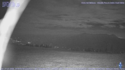
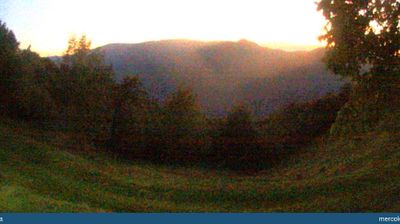
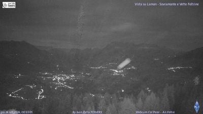
ライブカメラ



積雪情報
- 過去24時間: 0 cm
- 過去72時間: 0 cm
- 過去7日間: 0 cm
- 過去7日間: 山麓 0cm · 中腹 0cm · 山頂 0cm
- シーズン累計: 0 cm
About Croce d’Aune – Monte Avena
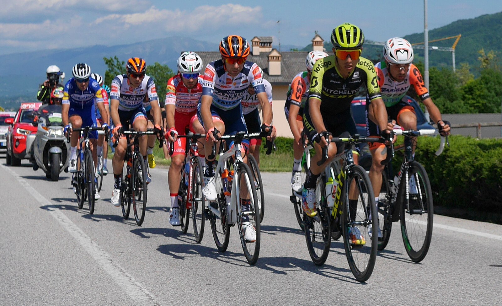
A quiet Venetian gateway known for its historic cycling legacy and gentle, family-oriented slopes overlooking the Feltre valley.
Highlights
- Cycling heritage site
- Family-friendly terrain
- Panoramic valley views
- Understated local charm
Key Facts
- Altitude: 1454m
- Top lift: 1450m
- Ski pistes: 7km
- Ski lifts: 2
- Lakes nearby: 5
- MTB trails: 80.7km
- Mountain huts: 9
Ski Area
Weather and 10-day forecast for Croce d’Aune – Monte Avena
- Today: 5 to 10 °C, partly cloudy, 8 h of sunshine
- Freezing level today: about 3504 m (2730 to 3760 m)
| Day | Min / max | Sky | Precipitation | Sunshine |
|---|---|---|---|---|
| 9月23日(水) | 5 / 10 °C | partly cloudy | dry | 8 h sun |
| 9月24日(木) | 6 / 14 °C | overcast | dry | 1 h sun |
| 9月25日(金) | 6 / 12 °C | partly cloudy | dry | 6 h sun |
| 9月26日(土) | 6 / 13 °C | partly cloudy | dry | 7 h sun |
| 9月27日(日) | 10 / 16 °C | partly cloudy | dry | 4 h sun |
| 9月28日(月) | 9 / 16 °C | clear sky | dry | 7 h sun |
| 9月29日(火) | 10 / 16 °C | partly cloudy | dry | 7 h sun |
| 9月30日(水) | 6 / 16 °C | clear sky | dry | 11 h sun |
| 10月1日(木) | 5 / 16 °C | partly cloudy | dry | 6 h sun |
| 10月2日(金) | 5 / 16 °C | drizzle | dry | 7 h sun |
Things to do in Croce d’Aune – Monte Avena
Hikes nearby — Croce d’Aune – Monte Avena (14)
14 curated hiking trails around Croce d’Aune – Monte Avena, sourced from OpenStreetMap and enriched with distance, elevation gain and difficulty.
-
Itinerario 11
Itinerario di media durata e con dislivello contenuto, che si snoda tra Casere dei Boschi e la sommità del Monte Avena.
-
Dolomites World Heritage Geotrail 32
-
Dolomites World Heritage Geotrail 33
-
Cammino delle Dolomiti - Tappa 02
-
Cammino delle Dolomiti - Tappa 03
-
Cammino delle Dolomiti - Tappa 01
-
Cammino delle Dolomiti - Tappa 04
From the alpine pastures of Monte Avena (1454 m), the trail delivers a full 360-degree panorama: north to the Vette Feltrine and Monte Pavione, south to the ridges of the Massiccio del Monte Grappa and the Lago del Corlo below, east to Cima d'Asta in the Lagorai, and west to the Altopiano di Asiago. In spring, melting snow gives way to carpets of blooming crocuses across the mountain pastures, while summer brings stops at working alpine huts — Malga Campet and Malga Campon — along the route.
-
Via di Schenèr
-
Dolomites World Heritage Geotrail 34
-
Sentiero Regina Amalassunta
-
Sentiero del Forzelon
-
Sentiero dei Covoli in Val Lamen (anello completo)
Itinerario Archeologico
-
Sentiero del Valon
-
Sentiero degli Abeti Giganti
Mountain biking near Croce d’Aune – Monte Avena
- Cengia di Prada
Getting to Croce d’Aune – Monte Avena
Door-to-door travel times as used by the MR. ALPS ranking.
- Nearest airport: Treviso Airport (TSF), 52 km away, about 1h35 by road
- Trento: 1h37 by car, 94 km
- Padova: 1h52 by car, 104 km
- Bolzano - Bozen: 2h14 by car, 149 km
- Verona: 2h22 by car, 160 km
- Brescia: 2h58 by car, 220 km
- Bologna: 3h07 by car, 218 km
Where to stay in Croce d’Aune – Monte Avena
73 places to stay for a night on 2026-09-25, from 112 EUR per night, median 186 EUR. Prices are direct with hotels and destinations, compared live on the Croce d’Aune – Monte Avena page.