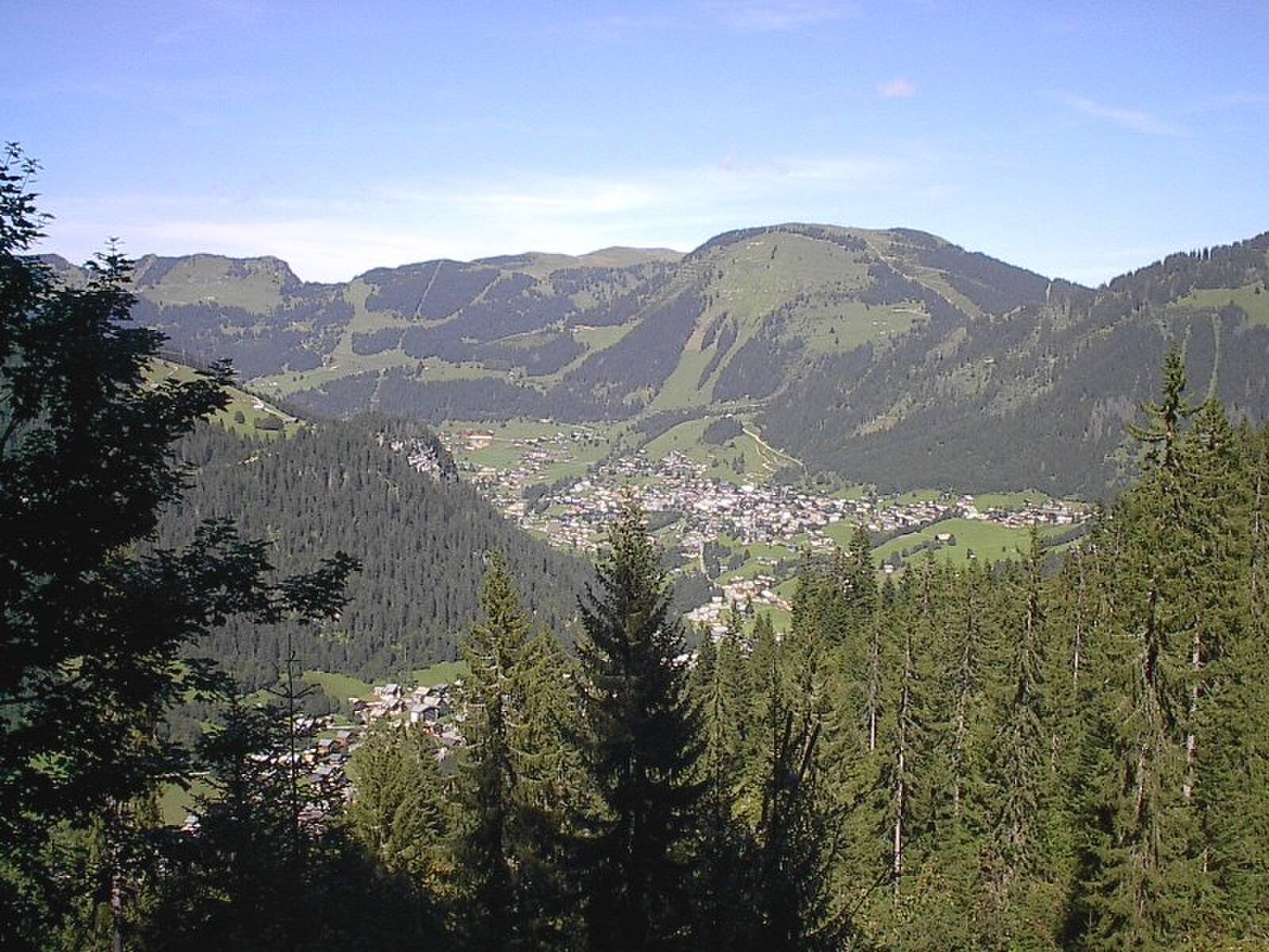
Châtel
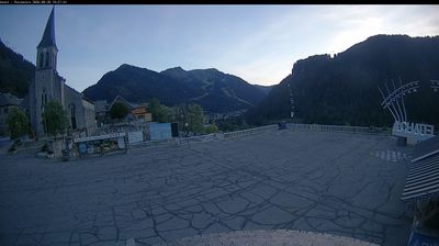
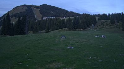
ライブカメラ

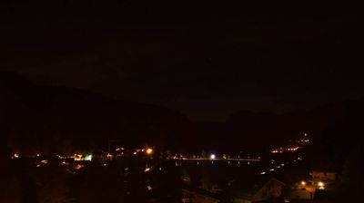
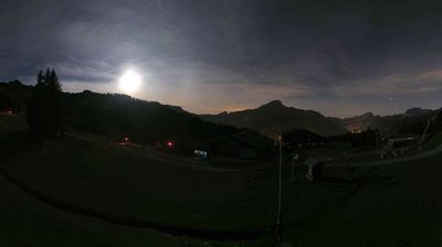
営業中のリフト: 0/163
積雪情報
- 過去24時間: 0 cm
- 過去72時間: 0 cm
- 過去7日間: 0 cm
- 過去7日間: 山麓 0cm · 中腹 0cm · 山頂 0cm
- シーズン累計: 0.1 cm
About Châtel
A rustic border town where Savoyard farming heritage meets a sprawling lift network, favored by those seeking low-key authenticity.
Highlights
- Traditional wood chalets
- Abondance cheese culture
- Cross-border skiing
- Understated alpine charm
Key Facts
- Altitude: 1186m
- Top lift: 2238m
- Ski pistes: 292km
- Ski lifts: 165
- Population: 1,168
- Lakes nearby: 15
- MTB trails: 55km
- Mountain huts: 13
Ski Area
Les Portes du Soleil – Morzine/Avoriaz/Les Gets/Châtel/Morgins/Champéry
この目的地が含まれるシーズンパス
Weather and 10-day forecast for Châtel
- Today: 8 to 17 °C, partly cloudy, 7 h of sunshine
- Freezing level today: about 4214 m (4040 to 4290 m)
| Day | Min / max | Sky | Precipitation | Sunshine |
|---|---|---|---|---|
| 9月20日(日) | 8 / 17 °C | partly cloudy | dry | 7 h sun |
| 9月21日(月) | 8 / 14 °C | partly cloudy | dry | 3 h sun |
| 9月22日(火) | 9 / 15 °C | clear sky | dry | 12 h sun |
| 9月23日(水) | 7 / 16 °C | clear sky | dry | 10 h sun |
| 9月24日(木) | 8 / 17 °C | clear sky | dry | 8 h sun |
| 9月25日(金) | 8 / 17 °C | overcast | dry | 4 h sun |
| 9月26日(土) | 8 / 18 °C | clear sky | dry | 11 h sun |
| 9月27日(日) | 10 / 18 °C | partly cloudy | dry | 4 h sun |
| 9月28日(月) | 10 / 18 °C | clear sky | dry | 12 h sun |
| 9月29日(火) | 10 / 19 °C | clear sky | dry | 8 h sun |
Things to do in Châtel
Hikes nearby — Châtel (20)
20+ curated hiking trails around Châtel, sourced from OpenStreetMap and enriched with distance, elevation gain and difficulty.
-
Sentier des alpages de Vionnaz
A circular alp-to-alp route above Torgon, the trail passes through Alp Eusin — known for its goat cheese — and Alp Chétillon, with views stretching over Lake Geneva to the Dents du Midi and Mont Blanc. The return leg crosses a suspension bridge over the Avançon river, and with luck, the region's emblematic mouflon may appear along the way.
-
41-Chemin des cols alpins
-
40-Chemin des cols alpins
-
Boucle des Mattes
-
Les Chalets du Mouet
-
Tour du Mont de Grange
-
Le Linleu par les quatre cols
-
Boucle des Thoules au lac d'Arvouin
-
Tour des Portes du Soleil
-
Les Bords de Dranse
-
42-Chemin des cols alpins
-
43-Chemin des cols alpins
-
Torgon village - Torgon/La Jorette
-
Chalet de la Raille par la Plagne
-
Miex-Lac de Taney (via Prélagine)
-
Alpenpässe-Weg: Morgins - Torgon
-
Alpenpässe-Weg: Torgon - Taney
-
Chemin du Lac de Taney
-
Alpenpässe-Weg: Barme - Morgins
-
Alpenpässe-Weg: Taney - St-Gingolph
Mountain biking near Châtel
- People
- Vink Line (lower)
- Ric et Rac
- Fluid
- Komatrautrail
- Bike Patrol
- Coup d'Fouet
- Chemin du Jouly
Getting to Châtel
Door-to-door travel times as used by the MR. ALPS ranking.
- Nearest airport: Geneva International Airport (GVA), 56 km away, about 1h51 by road
- Lausanne: 1h03 by car, 71 km
- Genève: 1h23 by car, 73 km
- Bern: 1h40 by car, 128 km
- Annecy: 1h47 by car, 115 km
- Biel/Bienne: 2h07 by car, 167 km
- Chambéry: 2h12 by car, 159 km
Where to stay in Châtel
200 places to stay for a night on 2026-09-25, from 170 EUR per night, median 261 EUR. Prices are direct with hotels and destinations, compared live on the Châtel page.