Charmey
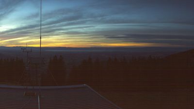
ライブカメラ

営業中のリフト: 0%
積雪情報
- 過去24時間: 0 cm
- 過去72時間: 0 cm
- 過去7日間: 0 cm
- 過去7日間: 山麓 0cm · 中腹 0cm · 山頂 0cm
- シーズン累計: 0 cm
About Charmey
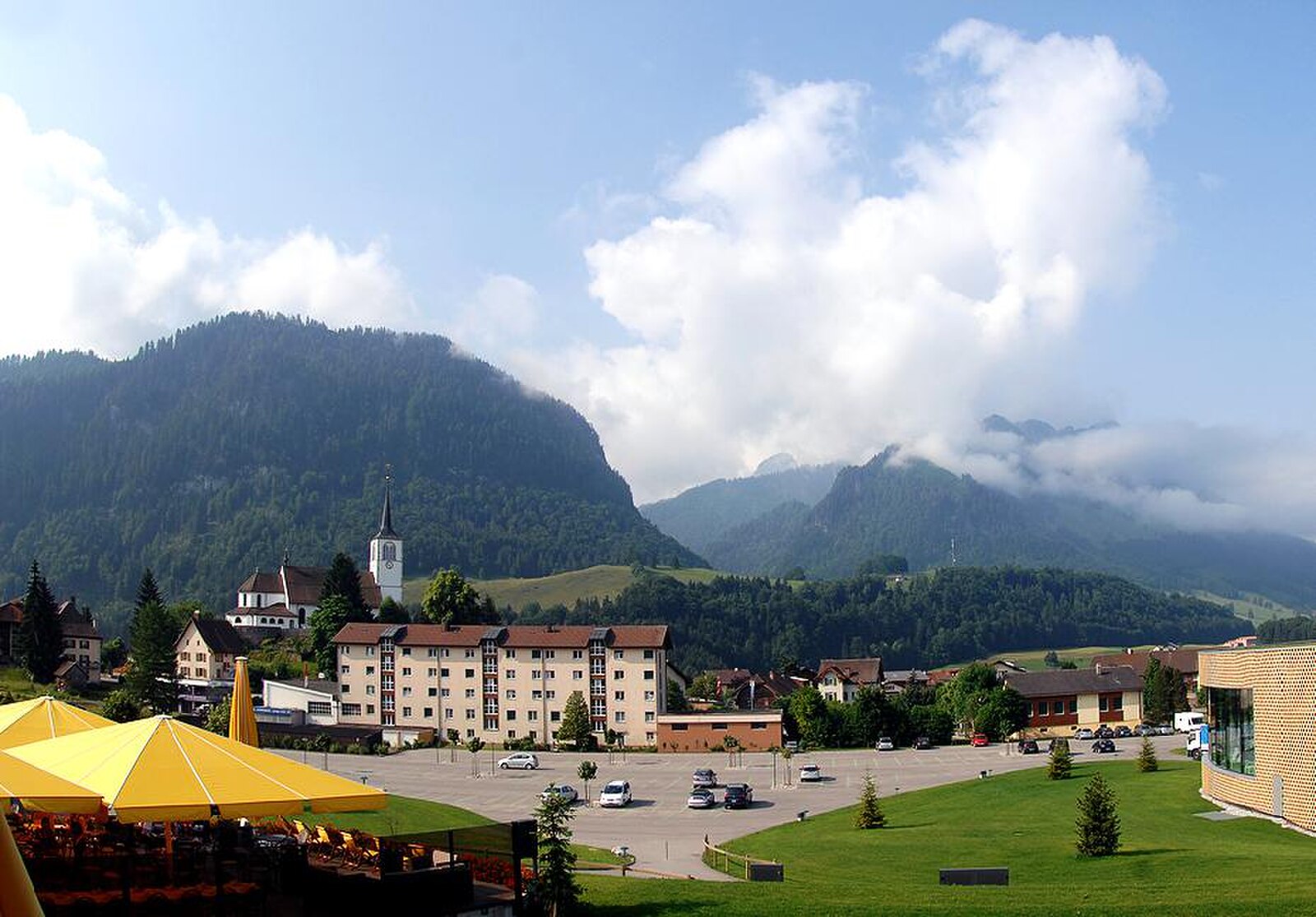
A pastoral Pre-Alps retreat where centuries of artisanal cheesemaking meet the soothing steam of modern thermal baths.
Highlights
- Vacherin cheese heritage
- Thermal spa culture
- Rolling green pastures
- Authentic Gruyère soul
Key Facts
- Altitude: 885m
- Top lift: 1626m
- Ski pistes: 30km
- Ski lifts: 5
- Population: 1,713
- Lakes nearby: 6
- MTB trails: 55km
- Mountain huts: 58
Ski Area
この目的地が含まれるシーズンパス
Weather and 10-day forecast for Charmey
- Today: 11 to 19 °C, partly cloudy, 7 h of sunshine
- Freezing level today: about 4188 m (4060 to 4270 m)
| Day | Min / max | Sky | Precipitation | Sunshine |
|---|---|---|---|---|
| 9月20日(日) | 11 / 19 °C | partly cloudy | dry | 7 h sun |
| 9月21日(月) | 10 / 18 °C | overcast | dry | 2 h sun |
| 9月22日(火) | 9 / 17 °C | clear sky | dry | 12 h sun |
| 9月23日(水) | 8 / 18 °C | clear sky | dry | 12 h sun |
| 9月24日(木) | 7 / 14 °C | partly cloudy | dry | 8 h sun |
| 9月25日(金) | 5 / 15 °C | clear sky | dry | 12 h sun |
| 9月26日(土) | 8 / 18 °C | clear sky | dry | 12 h sun |
| 9月27日(日) | 11 / 21 °C | clear sky | dry | 10 h sun |
| 9月28日(月) | 7 / 21 °C | clear sky | dry | 10 h sun |
| 9月29日(火) | 9 / 20 °C | clear sky | dry | 12 h sun |
Things to do in Charmey
Hikes nearby — Charmey (20)
20+ curated hiking trails around Charmey, sourced from OpenStreetMap and enriched with distance, elevation gain and difficulty.
-
Chemin panorama alpin
From the German-speaking village of Jaun, the route passes the powerful Jaun Waterfall and follows the Jaunbach stream before crossing the arch dam of Lac de Montsalvens and threading through the dramatic Jaunbach Gorge on rock galleries and wooden walkways. The stage ends with a final ascent to the medieval hilltop town of Gruyères, passing the pilgrimage chapel of Notre-Dame des Marches along the way.
-
Tour du lac de Montsalvens
-
Le Pré de l'Essert
-
La Vatia - Sentier des essences
-
Les Reposoirs
-
Alpenpanorama-Weg
-
Freiburger Voralpenweg
-
Hexenweg
-
Seerundgang
-
Motélon-La Gueyre
-
Schwarzsee Bad Seeweid - fixme
markierter Wanderweg
-
Schwarzsee Bad Seeweid - fixme
markierter Wanderweg
-
Schwarzsee Bad Seeweid - fixme
markierter Wanderweg
-
Les Marindes-Motélon
-
Unteri (Steinigi) Rippa - Hubel Rippa
markierter Wanderweg
-
Alpenpanorama-Weg: Jaun - Gruyères, gare
-
Sentier du Lac de la Gruyère: Pont de Corbières E - Pont de Corbières W
-
Fribourg en diagonale: Gruyères, gare - 166055
-
La Berra par la Valsainte
-
Breccaschlund-Panoramaweg
Mountain biking near Charmey
- Panorama Bike - Étape 12
- Chemin de Vounetse
- Le Bi Gito
- Allières
- Route des Echelettes
- La Tschaka
- Route de Plan Rosset
Getting to Charmey
Door-to-door travel times as used by the MR. ALPS ranking.
- Nearest airport: Bern Airport (BRN), 42 km away, about 1h08 by road
- Lausanne: 54 min by car, 64 km
- Bern: 56 min by car, 70 km
- Biel/Bienne: 1h24 by car, 109 km
- Genève: 1h32 by car, 127 km
- Basel: 1h59 by car, 164 km
- Annecy: 2h06 by car, 168 km
Where to stay in Charmey
47 places to stay for a night on 2026-09-25, from 250 EUR per night, median 351 EUR. Prices are direct with hotels and destinations, compared live on the Charmey page.