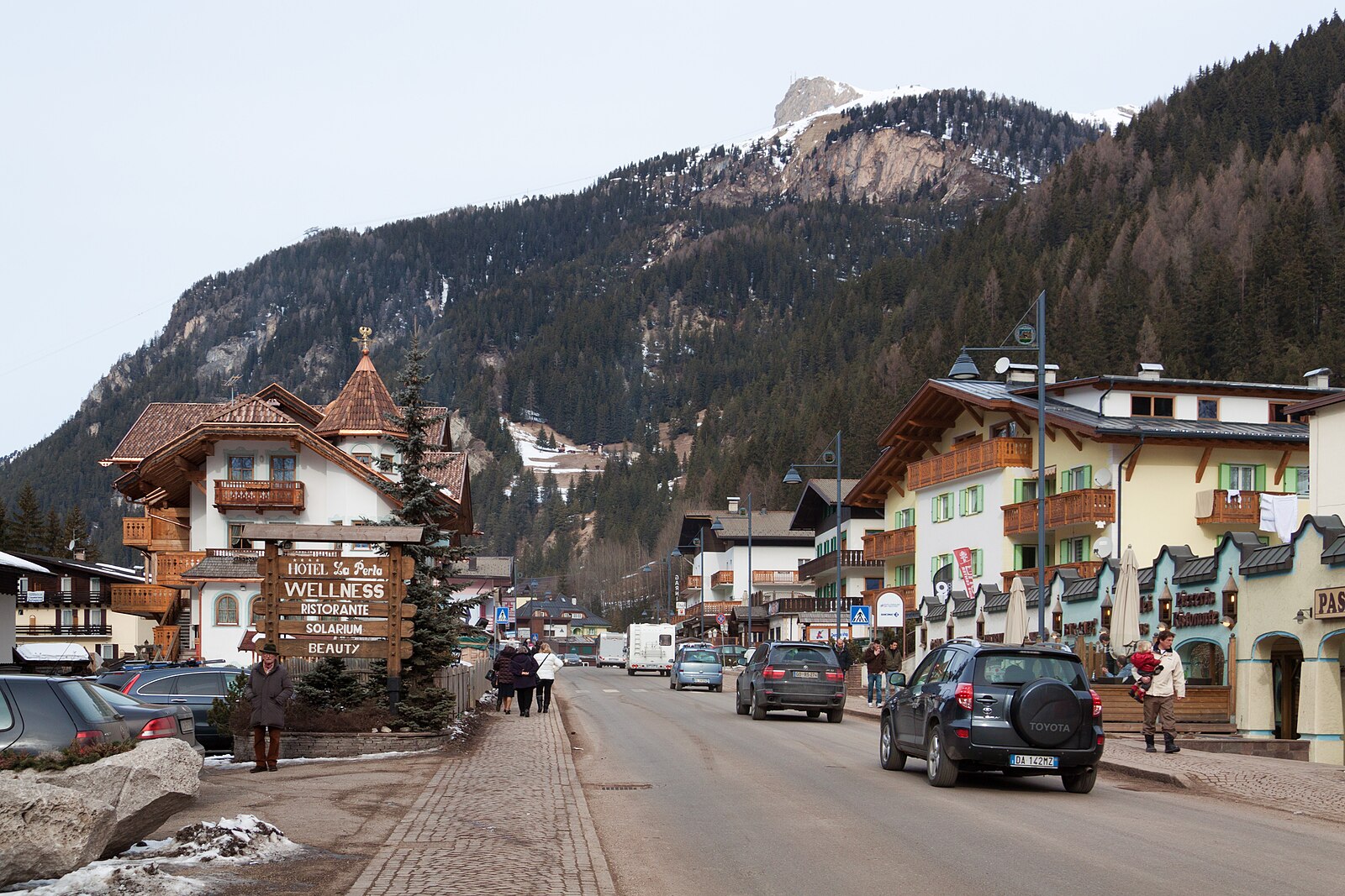
Canazei
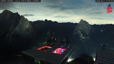
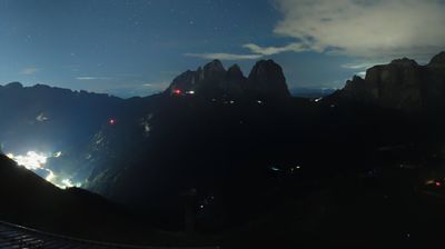
ライブカメラ
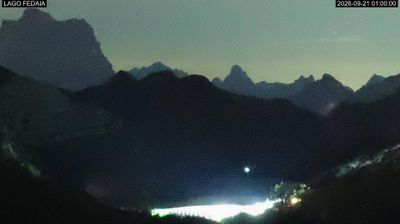
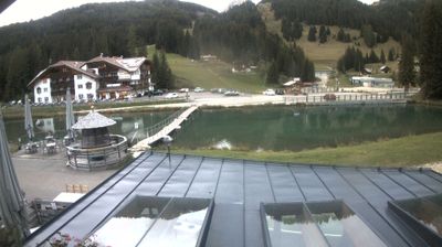
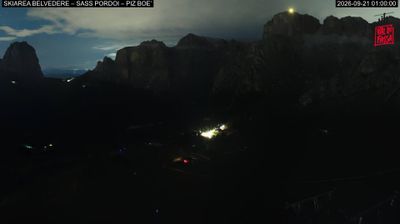
営業中のリフト: 0/156
積雪情報
- 過去24時間: 0 cm
- 過去72時間: 0 cm
- 過去7日間: 0 cm
- 過去7日間: 山麓 0cm · 中腹 0cm · 山頂 0cm
- シーズン累計: 1.9 cm
About Canazei
The beating heart of the Ladin Dolomites, where rugged limestone peaks meet a high-energy hub of Italian mountain culture.
Highlights
- Ladin cultural roots
- Sella Ronda access
- Pale stone peaks
- Vibrant après-ski scene
Key Facts
- Altitude: 1458m
- Top lift: 2485m
- Ski pistes: 350km
- Ski lifts: 156
- Population: 1,902
- Lakes nearby: 10
- MTB trails: 92.2km
- Mountain huts: 90
Ski Area
Sella Ronda – Alta Badia/Arabba-Marmolada/Val Gardena-Gröden/Canazei
この目的地が含まれるシーズンパス
Weather and 10-day forecast for Canazei
- Today: 7 to 18 °C, clear sky, 9 h of sunshine
- Freezing level today: about 4109 m (3870 to 4300 m)
| Day | Min / max | Sky | Precipitation | Sunshine |
|---|---|---|---|---|
| 9月20日(日) | 7 / 18 °C | clear sky | dry | 9 h sun |
| 9月21日(月) | 7 / 15 °C | overcast | dry | 2 h sun |
| 9月22日(火) | 3 / 12 °C | clear sky | dry | 13 h sun |
| 9月23日(水) | 2 / 12 °C | clear sky | dry | 11 h sun |
| 9月24日(木) | 4 / 12 °C | clear sky | dry | 12 h sun |
| 9月25日(金) | 4 / 15 °C | overcast | dry | 1 h sun |
| 9月26日(土) | 6 / 17 °C | clear sky | dry | 11 h sun |
| 9月27日(日) | 6 / 15 °C | partly cloudy | dry | 4 h sun |
| 9月28日(月) | 6 / 16 °C | clear sky | dry | 11 h sun |
| 9月29日(火) | 5 / 16 °C | clear sky | dry | 11 h sun |
Things to do in Canazei
Hikes nearby — Canazei (15)
15 curated hiking trails around Canazei, sourced from OpenStreetMap and enriched with distance, elevation gain and difficulty.
-
Viel del Pan
Tracing the southern slopes of the Padon chain, this historic path was once walked by flour merchants hauling goods between valleys, and today delivers unparalleled face-on views of the Marmolada (3,343 m) alongside sweeping panoramas of the Sassolungo and Sella groups. The route runs from Passo Pordoi — the pass connecting Val di Fassa with Arabba — all the way down to the glacial Lago di Fedaia.
-
Sentiero "Friedrich August" - Friedrich-August-Weg
-
Alta via n. 9 delle Dolomiti - Dolomiten-Höhenweg Nr. 9
Unlike most Dolomite long-distance routes, this trail runs as a transversal from west to east — from Bolzano through South Tyrol and into the province of Belluno — cutting across the ridge systems that otherwise rise north to south. The route passes landmarks including the Rosengarten and the Tre Cime di Lavaredo, reaching a high point above 3.100 m.
-
Via Alpina Yellow B22
Passo Pordoi - Rifugio Contrin
-
Via Alpina Yellow B23
Rifugio Contrin - Fontanazzo
-
Via Alpina Yellow B24
Fontanazzo - Rifugio Antermoia
-
Via Alpina Yellow B21
Pieve di Livinallongo - Passo Pordoi
-
Col Pelous
-
Sentiero Camosci
-
Sentiero Forestale Do' le Pale
-
Val di Dona
The Val di Dona cuts through the heart of the Catinaccio massif, reached by ascending from Fontanazzo through woods and meadows or descending from Lake Antermoia. At its centre sits Rifugio Dona — built in 2007 from a restored barn — where hikers can stop for Ladin specialties like canederli with wild spinach and blueberry tart at outdoor tables in a verdant alpine setting.
-
Via Alpina Yellow B25
Rifugio Antermoia - Schlernhaus / Rifugio Bolzano
-
Dolomites World Heritage Geotrail 10
-
Dolomites World Heritage Geotrail 9
-
Via ferrata delle Scalette
Mountain biking near Canazei
- SICAI Ciclo
- Joel
- Rode Line 3
- Fassa and Furious
- Strada forestale Pian Pozata
- Tita Piaz
- Strada forestale Pecedac
Getting to Canazei
Door-to-door travel times as used by the MR. ALPS ranking.
- Nearest airport: Innsbruck Airport (INN), 93 km away, about 2h37 by road
- Bolzano - Bozen: 1h04 by car, 51 km
- Trento: 1h38 by car, 103 km
- Innsbruck: 2h13 by car, 142 km
- Verona: 2h36 by car, 198 km
- Padova: 2h56 by car, 207 km
- Brescia: 3h07 by car, 234 km
Where to stay in Canazei
200 places to stay for a night on 2026-09-25, from 134 EUR per night, median 318 EUR. Prices are direct with hotels and destinations, compared live on the Canazei page.