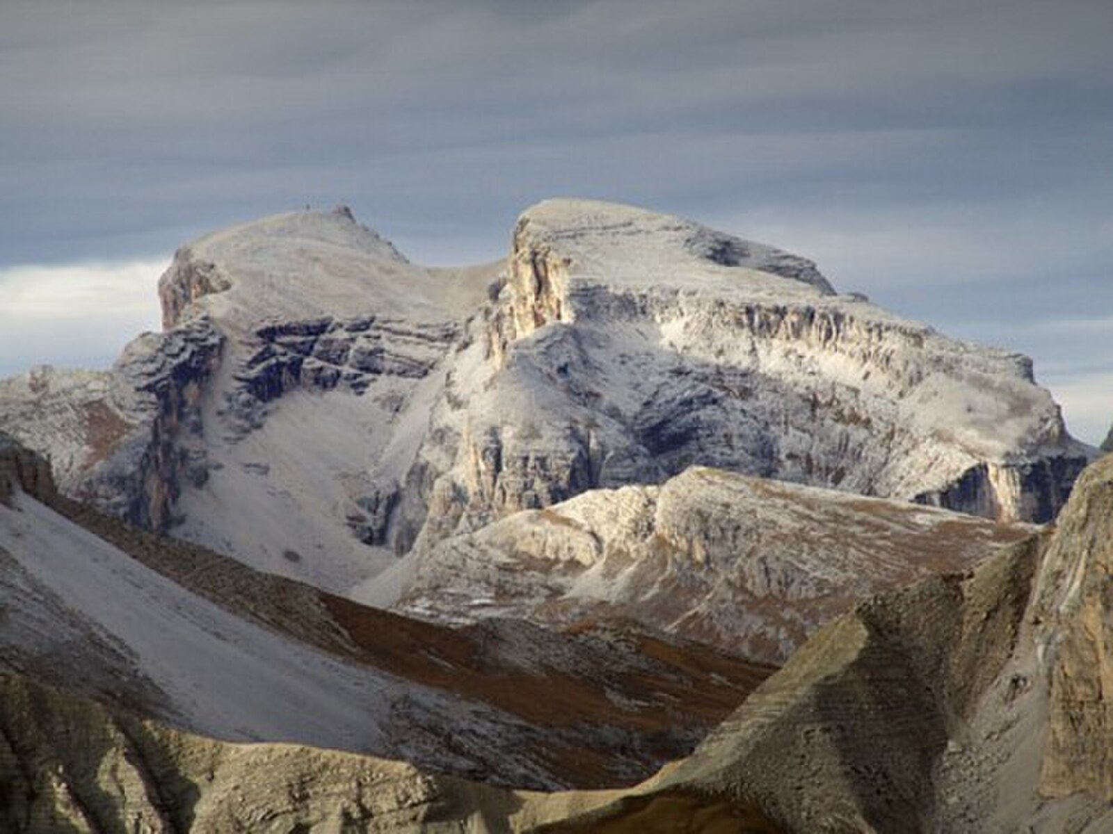
Baranci (Haunold) – San Candido (Innichen)
ライブカメラ

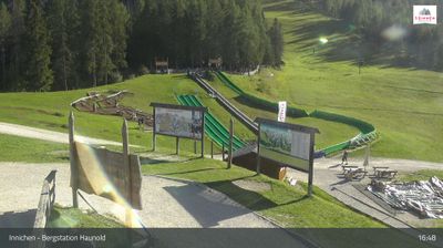
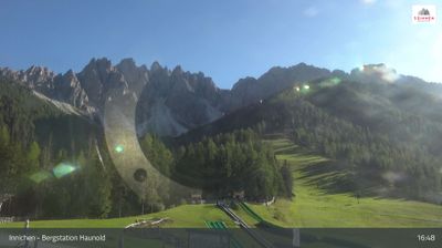
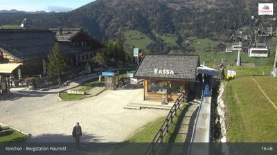
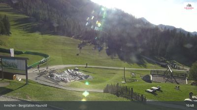
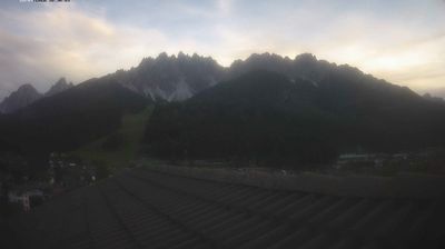
営業中のリフト: 0%
積雪情報
- 過去24時間: 0 cm
- 過去72時間: 0 cm
- 過去7日間: 0 cm
- 過去7日間: 山麓 0.2cm · 中腹 0cm · 山頂 0.2cm
- シーズン累計: 0 cm
About Baranci (Haunold) – San Candido (Innichen)
A Tyrolean gem where Italian flair meets Austrian tradition, famous for its family-friendly slopes and lit-up night tobogganing.
Highlights
- Dolomite peak backdrops
- Evening sledding runs
- Tyrolean culinary fusion
- Historic village charm
Key Facts
- Altitude: 1474m
- Top lift: 1610m
- Ski pistes: 12km
- Ski lifts: 5
- Population: 3,294
- Lakes nearby: 8
- MTB trails: 164km
- Mountain huts: 22
Ski Area
Weather and 10-day forecast for Baranci (Haunold) – San Candido (Innichen)
- Today: 8 to 17 °C, partly cloudy, 6 h of sunshine
- Freezing level today: about 3577 m (3010 to 4090 m)
| Day | Min / max | Sky | Precipitation | Sunshine |
|---|---|---|---|---|
| 9月21日(月) | 8 / 17 °C | partly cloudy | dry | 6 h sun |
| 9月22日(火) | 5 / 14 °C | clear sky | dry | 13 h sun |
| 9月23日(水) | 3 / 14 °C | clear sky | dry | 13 h sun |
| 9月24日(木) | 5 / 11 °C | rain showers | dry | 8 h sun |
| 9月25日(金) | 3 / 13 °C | clear sky | dry | 12 h sun |
| 9月26日(土) | 8 / 20 °C | clear sky | dry | 12 h sun |
| 9月27日(日) | 8 / 18 °C | overcast | dry | 3 h sun |
| 9月28日(月) | 5 / 20 °C | clear sky | dry | 11 h sun |
| 9月29日(火) | 7 / 20 °C | partly cloudy | dry | 6 h sun |
| 9月30日(水) | 6 / 19 °C | clear sky | dry | 11 h sun |
Things to do in Baranci (Haunold) – San Candido (Innichen)
Hikes nearby — Baranci (Haunold) – San Candido (Innichen) (18)
18 curated hiking trails around Baranci (Haunold) – San Candido (Innichen), sourced from OpenStreetMap and enriched with distance, elevation gain and difficulty.
-
Rundweg Burg
-
Besinnungsweg
-
Schnegga Säge - Hühnerspiel
-
Bonnerhütte - Steinbergalm
-
Toblacher Höhenweg
-
Römerweg - Via Romana
-
Via Alpina Stage 26: Silianer Hütte - Drei-Zinnen-Hütte / Rifugio Locatelli
-
Via Alpina Red R27
Drei-Zinnen-Hütte / Rifugio Locatelli - Dürrensteinhütte / Rifugio Vallandro
-
Dolomites World Heritage Geotrail 15
-
Dolomites World Heritage Geotrail 16
-
Dolomites World Heritage Geotrail 17
-
Alta via n. 5 delle Dolomiti - I Tappa
L'Alta via n. 5 parte da Sesto e termina a Pieve di Cadore. È stata dedicata al sommo pittore Tiziano Vecellio, che più volte dipinse le Marmarole come sfondo di paesaggi inconsueti. Molto impegnativa con tratti a carattere alpinistico, può essere percorsa in 6/7 giorni e si sviluppa in circa novanta chilometri. La quota massima si raggiunge alla forcella Giàu de la Tana (2650 m) nelle Marmarole.
-
Via Alpina Red R29
Rifugio Biella - St. Martin in Gsies
-
Gsieser Talblickweg
-
Themenweg Niederdorf
-
Heimatsteig
-
Besinnungsweg
-
Almweg 2000
See all 18 hikes near Baranci (Haunold) – San Candido (Innichen)
Mountain biking near Baranci (Haunold) – San Candido (Innichen)
- Stoneman Dolomiti-Bike
- Innerfeldtal
- Haselsberg - Costa Nosellari
All MTB trails near Baranci (Haunold) – San Candido (Innichen)
Getting to Baranci (Haunold) – San Candido (Innichen)
Door-to-door travel times as used by the MR. ALPS ranking.
- Nearest airport: Bolzano Airport (BZO), 78 km away, about 2h by road
- Bolzano - Bozen: 1h54 by car, 108 km
- Innsbruck: 2h23 by car, 140 km
- Trento: 2h25 by car, 163 km
- Padova: 2h55 by car, 207 km
- Verona: 3h23 by car, 259 km
- Brescia: 3h53 by car, 294 km
Where to stay in Baranci (Haunold) – San Candido (Innichen)
200 places to stay for a night on 2026-09-25, from 136 EUR per night, median 330 EUR. Prices are direct with hotels and destinations, compared live on the Baranci (Haunold) – San Candido (Innichen) page.