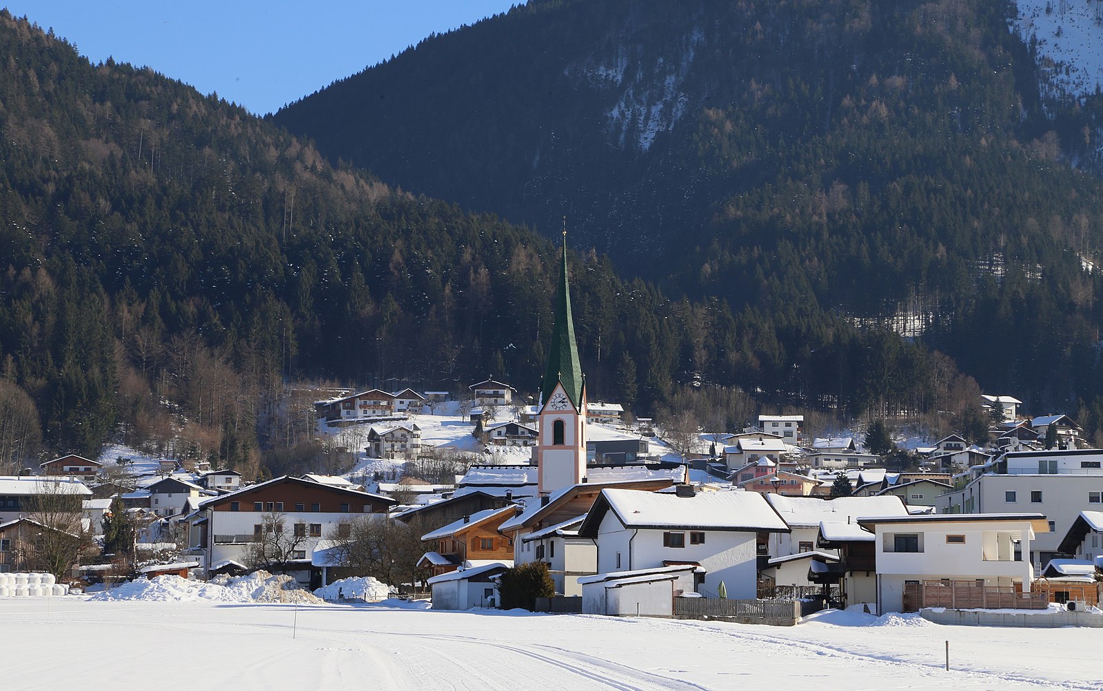
Bad Häring
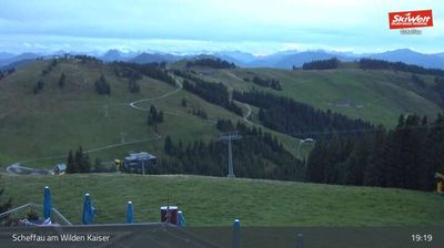
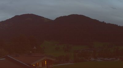
ライブカメラ

営業中のリフト: 0%
積雪情報
- 過去24時間: 0 cm
- 過去72時間: 0 cm
- 過去7日間: 0 cm
- 過去7日間: 山麓 0cm · 中腹 0cm · 山頂 0cm
- シーズン累計: 0 cm
About Bad Häring
A refined health retreat tucked into the Tyrolean foothills, defined by its therapeutic sulfur springs and a quiet, restorative pace.
Highlights
- Healing sulfur springs
- Wellness-focused lifestyle
- Gentle plateau hikes
- Traditional Tyrolean charm
Key Facts
- Altitude: 586m
- Top lift: 685m
- Ski lifts: 1
- Population: 3,008
- Lakes nearby: 20
- MTB trails: 200km
- Mountain huts: 21
Ski Area
Weather and 10-day forecast for Bad Häring
- Today: 5 to 18 °C, clear sky, 13 h of sunshine
- Freezing level today: about 3365 m (2720 to 3610 m)
| Day | Min / max | Sky | Precipitation | Sunshine |
|---|---|---|---|---|
| 9月23日(水) | 5 / 18 °C | clear sky | dry | 13 h sun |
| 9月24日(木) | 7 / 17 °C | rain showers | dry | 1 h sun |
| 9月25日(金) | 4 / 18 °C | clear sky | dry | 11 h sun |
| 9月26日(土) | 4 / 22 °C | clear sky | dry | 12 h sun |
| 9月27日(日) | 7 / 24 °C | clear sky | dry | 11 h sun |
| 9月28日(月) | 9 / 25 °C | clear sky | dry | 11 h sun |
| 9月29日(火) | 9 / 25 °C | clear sky | dry | 11 h sun |
| 9月30日(水) | 9 / 26 °C | clear sky | dry | 10 h sun |
| 10月1日(木) | 12 / 24 °C | overcast | dry | 3 h sun |
| 10月2日(金) | 12 / 24 °C | drizzle | dry | 8 h sun |
Things to do in Bad Häring
Hikes nearby — Bad Häring (20)
20+ curated hiking trails around Bad Häring, sourced from OpenStreetMap and enriched with distance, elevation gain and difficulty.
-
Adlerweg Etappe 4
Kufstein - Gasthof Buchacker
-
Inntalblick Runde
-
Themenweg "Bergbau & Kohle"
-
VBA-Runde
-
Themenweg "Erlebnis der Sinne"
leichte Wanderung vom Dorfplatz Bad Häring zum Kurpark
-
Waldschönauer Runde
-
Pölven Trail
The ridge route links the Häringer Kreuz (also called Pölvenkreuz), the Großer Pölven (Mittagskogel), and the Schwoicher Kreuz (Kleiner Pölven) along a mossy, mystical-feeling ridgeline, with steep and partly exposed terrain — including a ladder passage and two short scrambling sections where hands are needed. Views stretch across the Inntal toward Innsbruck, the Kitzbüheler Alps, and the Wilder Kaiser.
-
Juffinger Jöchl Rundtour
-
Prof. Rudolf Sinwel Steig - Pölven
Von Peppenau nach Burg über kleinen und großen Pölven. In der Natur nur wenige und alte Schilder/Markierungen
-
Schmieder Runde
-
Osterndorfer-Runde
-
Pölvenrunde
The Pölven — described as a wooded, craggy hump between the Wilder Kaiser and the western Kitzbüheler Alps — is considered the locals' own viewpoint mountain, and this route circles it entirely. The terrain mixes asphalt, gravel, and footpath, passing the Gasthaus Stallhäusl, the farmhouse Pölvenau, and a steep, winding paved stretch up to the Hinterlengau.
-
Wanderweg 3 - Söll
-
Mühltalrundweg
-
Mühltal Runde
Route "Lauf & Walking Park Itter"
-
Achrainerrunde
-
Treichl Runde
Route "Lauf & Walking Park Itter"
-
Kollerhof Runde
Route "Lauf & Walking Park Itter"
-
Niederbreitenbach-Höhlenstein
-
Lindenweg
Mountain biking near Bad Häring
- Juffinger Jöchl Runde
- Rundweg Möslalm - Paffenberg
- Bad Häring - Söll
- Niederau-Möslalm
- Bärnbadweg
- Mitterwallweg
- Kreuzweg
- Pendling
Getting to Bad Häring
Door-to-door travel times as used by the MR. ALPS ranking.
- Nearest airport: Innsbruck Airport (INN), 65 km away, about 1h by road
- Innsbruck: 57 min by car, 66 km
- München: 1h15 by car, 105 km
- Bolzano - Bozen: 2h23 by car, 181 km
- Nürnberg: 2h44 by car, 274 km
- Trento: 2h54 by car, 237 km
- Stuttgart: 3h28 by car, 338 km
Where to stay in Bad Häring
200 places to stay for a night on 2026-09-25, from 140 EUR per night, median 297 EUR. Prices are direct with hotels and destinations, compared live on the Bad Häring page.