Arosa
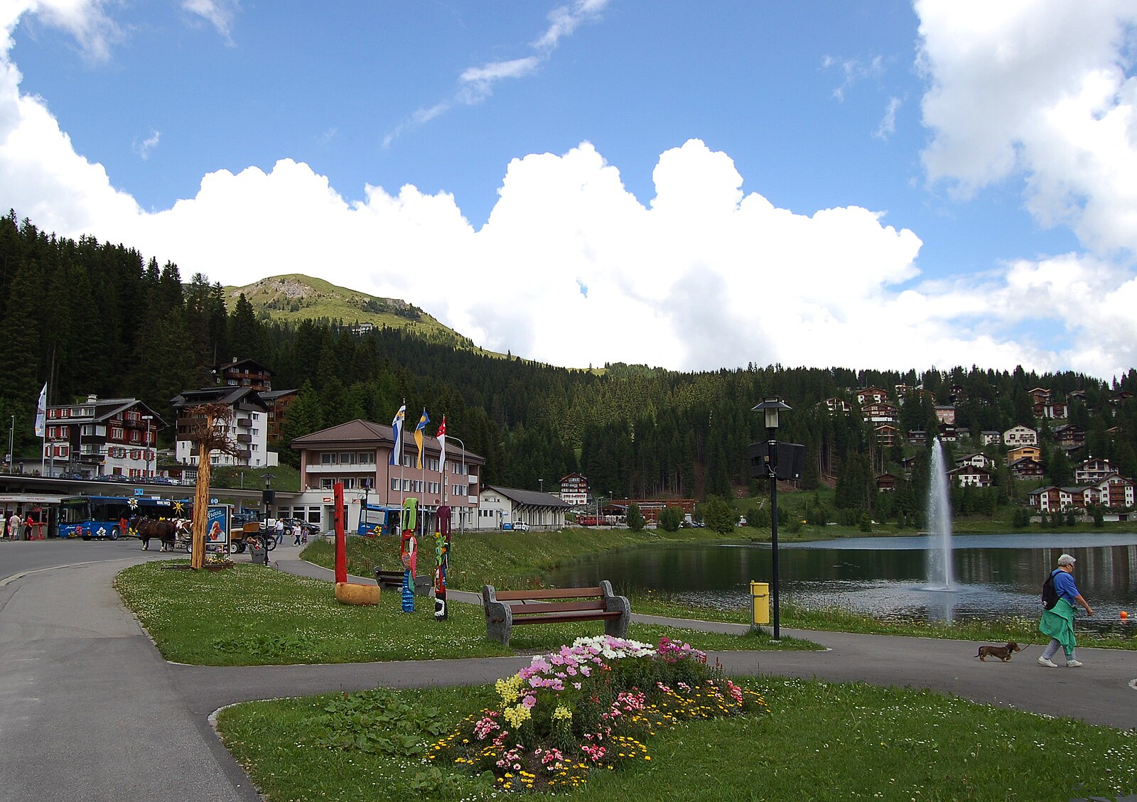
ライブカメラ
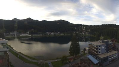
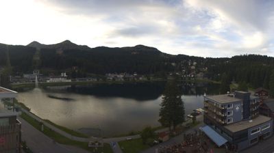


営業中のリフト: 0/43
積雪情報
- 過去24時間: 0 cm
- 過去72時間: 0 cm
- 過去7日間: 0 cm
- 過去7日間: 山麓 0.4cm · 中腹 0cm · 山頂 0.4cm
- シーズン累計: 12.5 cm
About Arosa
A sun-drenched resort known for its tranquil atmosphere and unique bear sanctuary.
Highlights
- Bear sanctuary
- Sunny microclimate
- Quiet luxury
- Connected skiing
Key Facts
- Altitude: 1229m
- Top lift: 2865m
- Ski pistes: 225km
- Ski lifts: 43
- Population: 3,159
- Lakes nearby: 14
- MTB trails: 116.4km
- Mountain huts: 9
Ski Area
この目的地が含まれるシーズンパス
Weather and 10-day forecast for Arosa
- Today: 4 to 12 °C, overcast, 3 h of sunshine
- Freezing level today: about 3620 m (3230 to 3960 m)
| Day | Min / max | Sky | Precipitation | Sunshine |
|---|---|---|---|---|
| 9月21日(月) | 4 / 12 °C | overcast | dry | 3 h sun |
| 9月22日(火) | 4 / 10 °C | clear sky | dry | 12 h sun |
| 9月23日(水) | 5 / 14 °C | clear sky | dry | 12 h sun |
| 9月24日(木) | 4 / 13 °C | partly cloudy | dry | 5 h sun |
| 9月25日(金) | 2 / 14 °C | clear sky | dry | 11 h sun |
| 9月26日(土) | 6 / 16 °C | clear sky | dry | 12 h sun |
| 9月27日(日) | 7 / 17 °C | clear sky | dry | 8 h sun |
| 9月28日(月) | 9 / 20 °C | clear sky | dry | 12 h sun |
| 9月29日(火) | 9 / 18 °C | clear sky | dry | 9 h sun |
| 9月30日(水) | 8 / 19 °C | clear sky | dry | 12 h sun |
Things to do in Arosa
Hikes nearby — Arosa (20)
20+ curated hiking trails around Arosa, sourced from OpenStreetMap and enriched with distance, elevation gain and difficulty.
-
Via son Giachen
-
Mittelbünden-Panoramaweg Stage 1
From Lenzerheide, the route climbs to the Parpaner Rothorn — where iron ore was once mined — then descends through a moonscape terrain, arolla pine forests, and past small idyllic lakes. The trail also passes through the Parc Ela, considered an insect oasis.
-
Dörferweg Schanfigg
The Dörferweg Schanfigg threads through the Schanfigg valley between Arosa and Chur — Switzerland's oldest city — passing through traditional Walser settlements, meadows, and atmospheric forests. The route connects quaint villages including Langwies, tracing the cultural heritage of the Walser people through this storied Alpine valley.
-
Aroser-Weisshorn-Weg
-
Arosa-Ochsenalp Rundtour
From the high point of the Hauptichopf, the route opens onto panoramic views over the Schanfigg valley and the Churer Rheintal, set within the rich natural landscapes surrounding Arosa.
-
Schanfigger Höhenweg - Etappe 1
-
Walserweg - Etappe 16
-
Walserweg - Etappe 15
-
Mittelbünden-Panoramaweg Stage 2
The route passes through Alp Medergen, a former Walser Alp with a mountain tavern, before narrowing to a mountain trail where the "Tritt" serves as a defining landmark. From there, the path opens to sweeping views of Davos far below.
-
Via son Giachen
-
Walserweg - Etappe 17
A demanding traverse from Langwies to Klosters through untouched cultural landscapes and wide alpine terrain. The Heimatmuseum Nutli Hüschi along the way offers a window into the farming life of the Walser people.
-
Schanfigger Höhenweg - Etappe 4
-
ViaSett
-
Schanfigger Höhenweg - Etappe 3
-
Via son Giachen
-
Schiesshorn-Weg
-
Schanfigger Höhenweg: Furgglis - Arosa Obersee
-
Schanfigger Höhenweg: Arosa Obersee - Jatz Heimeli
-
Jakobsweg Graubünden: Langwies Dorf - Tschiertschen
-
Walserweg: Arosa Obersee - Langwies Dorf
Mountain biking near Arosa
- Ochsenalp–Tschiertschen
- Schwellisee
- Arosa–Ochsenalp
- Hörnli Trail
Getting to Arosa
Door-to-door travel times as used by the MR. ALPS ranking.
- Nearest airport: Bodensee Airport Friedrichshafen (FDH), 100 km away, about 2h22 by road
- Zürich: 1h54 by car, 147 km
- Luzern: 2h13 by car, 170 km
- Basel: 2h51 by car, 230 km
- Innsbruck: 3h16 by car, 244 km
- Biel/Bienne: 3h17 by car, 267 km
- Bern: 3h18 by car, 269 km
Where to stay in Arosa
200 places to stay for a night on 2026-09-25, from 129 EUR per night, median 382 EUR. Prices are direct with hotels and destinations, compared live on the Arosa page.