Archkogl
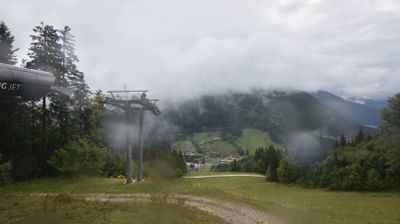
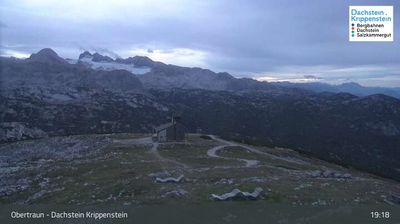
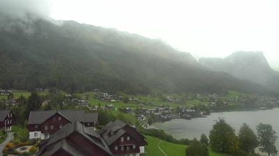
ライブカメラ
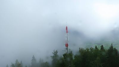
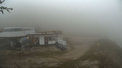

営業中のリフト: 0%
積雪情報
- 過去24時間: 0 cm
- 過去72時間: 0 cm
- 過去7日間: 0 cm
- 過去7日間: 山麓 0cm · 中腹 0cm · 山頂 0cm
- シーズン累計: 0.1 cm
About Archkogl
A tranquil lakeside hamlet where traditional timber architecture meets the mirror-like stillness of the Grundlsee.
Highlights
- Lakeside serenity
- Traditional wooden architecture
- Alpine swimming spots
- Quiet mountain retreats
Key Facts
- Altitude: 783m
- Top lift: 896m
- Ski pistes: 2km
- Ski lifts: 2
- Population: 227
- Lakes nearby: 21
- MTB trails: 214.9km
- Mountain huts: 19
Ski Area
この目的地が含まれるシーズンパス
Weather and 10-day forecast for Archkogl
- Today: 10 to 21 °C, partly cloudy, 7 h of sunshine
- Freezing level today: about 3885 m (3190 to 4110 m)
| Day | Min / max | Sky | Precipitation | Sunshine |
|---|---|---|---|---|
| 9月20日(日) | 10 / 21 °C | partly cloudy | dry | 7 h sun |
| 9月21日(月) | 10 / 15 °C | overcast | dry | 3 h sun |
| 9月22日(火) | 8 / 12 °C | rain showers | dry | 4 h sun |
| 9月23日(水) | 5 / 16 °C | clear sky | dry | 12 h sun |
| 9月24日(木) | 7 / 16 °C | partly cloudy | dry | 6 h sun |
| 9月25日(金) | 8 / 16 °C | partly cloudy | dry | 6 h sun |
| 9月26日(土) | 8 / 19 °C | clear sky | dry | 12 h sun |
| 9月27日(日) | 11 / 25 °C | clear sky | dry | 12 h sun |
| 9月28日(月) | 11 / 23 °C | clear sky | dry | 12 h sun |
| 9月29日(火) | 9 / 23 °C | clear sky | dry | 11 h sun |
Things to do in Archkogl
Hikes nearby — Archkogl (20)
20+ curated hiking trails around Archkogl, sourced from OpenStreetMap and enriched with distance, elevation gain and difficulty.
-
Dachsteinrundwanderweg
-
BergeSeen Trail 16: Hallstatt - Bad Aussee
-
Wanderweg 233
-
Wanderweg 253
Radlingpaß – Langmoosalm – Rötelstein
-
Wanderweg 270
Bad Mitterndorf – Ringdorfer – Rödschitzbach – Teltschenalm – Hasenkogel – Langmoosalm
-
Wanderweg 234
-
Wanderweg 254
-
Wanderweg 696
Bad Aussee/Bhf. – Wintergraben – Handleralm – Zinken
-
BergeSeen Trail L1: Bad Aussee - Loserhütte
-
Wanderweg 235
-
BergeSeen Trail 17: Bad Aussee - Bad Mitterndorf
From Bad Aussee, the route threads past the Ödensee and the Strumernquellen springs before climbing through forest to the Steinitzenalm, then descending into Bad Mitterndorf — a valley and alpine pasture walk on forest roads and marked woodland paths through the varied landscapes of the Ausseerland.
-
Wanderweg 691
Bad Aussee - Sommersbergsee - Höherstüberl - Sarsteinkar - Sarsteinalm
-
Wanderweg 212
Altauseer See - Wildensee Hütte - Rinnerkogel Hütte - Offensee
-
Hinterberger Panoramaweg
This high-altitude route threads through alpine pastures between the villages of Kainisch and Tauplitz, pausing at information stations that unpack the natural and cultural history of the Hinterberg Valley.
-
Wanderweg 213
Almsee - Grießkarscharte - Am Ablaser - Aibl - Gössler Alm - Schachen
-
Wanderweg 25
Kainisch - Langmoosalm - Seidenhoflam - Talalm
-
BergeSeen Trail
-
Bad Aussee - Ruine Pflindsberg
-
Geotrail Grundlsee
-
Obersdorfer Rundweg
Mountain biking near Archkogl
- S 510 K & K Runde
- S 434 Blaa Alm Runde
- S248 Bärnmoos
- Seewiese Altaussee S110
- S501 Augst Trail
- Kochalmweg
- Schreiberinstraße
Getting to Archkogl
Door-to-door travel times as used by the MR. ALPS ranking.
- Nearest airport: Salzburg Airport (SZG), 65 km away, about 1h30 by road
- Graz: 2h05 by car, 160 km
- München: 2h51 by car, 233 km
- Wien: 3h16 by car, 277 km
- Innsbruck: 3h24 by car, 271 km
- Nürnberg: 4h19 by car, 402 km
- Bolzano - Bozen: 4h50 by car, 386 km
Where to stay in Archkogl
200 places to stay for a night on 2026-09-25, from 111 EUR per night, median 391 EUR. Prices are direct with hotels and destinations, compared live on the Archkogl page.