Aosta – Pila
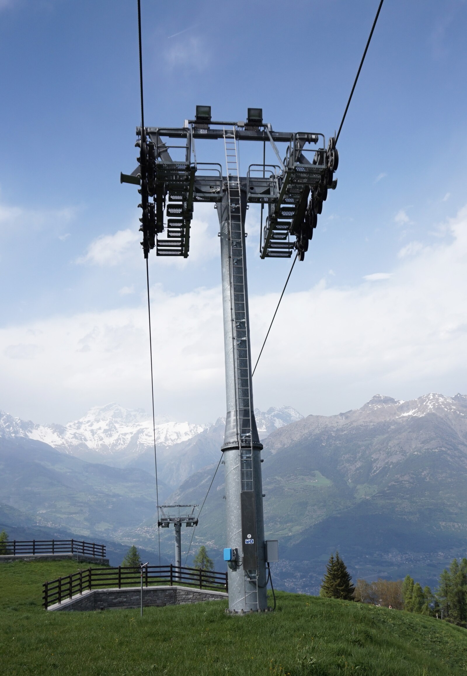
About Aosta – Pila
A historic Roman gateway town paired with a modern mountain bowl, offering a gritty urban vibe with fast access to high-altitude slopes.
Highlights
- Roman ruins
- Panoramic gondola views
- Northern Italian cuisine
- Year-round bike park
Key Facts
- Altitude: 570m
- Top lift: 2740m
- Ski pistes: 50km
- Ski lifts: 12
- Population: 33,093
- Lakes nearby: 14
- Mountain huts: 5
Ski Area
この目的地が含まれるシーズンパス
Weather and 10-day forecast for Aosta – Pila
- Today: 9 to 20 °C, partly cloudy, 7 h of sunshine
- Freezing level today: about 4259 m (4020 to 4350 m)
| Day | Min / max | Sky | Precipitation | Sunshine |
|---|---|---|---|---|
| 9月20日(日) | 9 / 20 °C | partly cloudy | dry | 7 h sun |
| 9月21日(月) | 14 / 22 °C | overcast | dry | 2 h sun |
| 9月22日(火) | 10 / 19 °C | clear sky | dry | 12 h sun |
| 9月23日(水) | 11 / 20 °C | clear sky | dry | 11 h sun |
| 9月24日(木) | 12 / 22 °C | partly cloudy | dry | 8 h sun |
| 9月25日(金) | 12 / 22 °C | partly cloudy | dry | 6 h sun |
| 9月26日(土) | 10 / 22 °C | clear sky | dry | 12 h sun |
| 9月27日(日) | 7 / 18 °C | partly cloudy | dry | 3 h sun |
| 9月28日(月) | 8 / 22 °C | clear sky | dry | 12 h sun |
| 9月29日(火) | 7 / 21 °C | clear sky | dry | 12 h sun |
Things to do in Aosta – Pila
Hikes nearby — Aosta – Pila (14)
14 curated hiking trails around Aosta – Pila, sourced from OpenStreetMap and enriched with distance, elevation gain and difficulty.
-
Cammino Balteo (Bassa Via della Valle d'Aosta), Tappa 18
Sentiero escursionistico ad anello, che permette di percorrere il territorio valdostano a quote medio-basse durante buona parte dell'anno. Lunghezza complessiva di 370 km fra i 500 e i 1900 metri s.l.m.
-
Cammino Balteo (Bassa Via della Valle d'Aosta), Tappa 10
Sentiero escursionistico ad anello, che permette di percorrere il territorio valdostano a quote medio-basse durante buona parte dell'anno. Lunghezza complessiva di 370 km fra i 500 e i 1900 metri s.l.m.
-
Cammino Balteo (Bassa Via della Valle d'Aosta), Tappa 12
Sentiero escursionistico ad anello, che permette di percorrere il territorio valdostano a quote medio-basse durante buona parte dell'anno. Lunghezza complessiva di 370 km fra i 500 e i 1900 metri s.l.m.
-
Cammino Balteo (Bassa Via della Valle d'Aosta), Tappa 11
Sentiero escursionistico ad anello, che permette di percorrere il territorio valdostano a quote medio-basse durante buona parte dell'anno. Lunghezza complessiva di 370 km fra i 500 e i 1900 metri s.l.m.
-
Cammino Balteo (Bassa Via della Valle d'Aosta), Tappa 19
Sentiero escursionistico ad anello, che permette di percorrere il territorio valdostano a quote medio-basse durante buona parte dell'anno. Lunghezza complessiva di 370 km fra i 500 e i 1900 metri s.l.m.
-
Pont Avisod - Chacotteyes - Tsa de Metz - Pointe Chaligne
-
Oveillan - Tsa de Metz
-
Ville-Sur-Sarre - Mont-Fallère
-
Tour du Mont Fallère - Première étape - 3h30/4h / Tour du Mont Fallère - Prima tappa - 3h30/4h
-
Tournalin
-
Charrère - Verrogne
-
Mont Mary
-
Croce di Fana (diretta)
-
Fonteil - Becca d'Aveille
Mountain biking near Aosta – Pila
- Ru Neuf
- 16
- Ru d'Arbérioz
Getting to Aosta – Pila
Door-to-door travel times as used by the MR. ALPS ranking.
- Nearest airport: Turin Airport (TRN), 64 km away, about 1h21 by road
- Torino: 1h30 by car, 116 km
- Genève: 1h58 by car, 138 km
- Annecy: 2h08 by car, 150 km
- Milano: 2h13 by car, 184 km
- Lausanne: 2h17 by car, 148 km
- Chambéry: 2h32 by car, 194 km
Where to stay in Aosta – Pila
200 places to stay for a night on 2026-09-25, from 81 EUR per night, median 206 EUR. Prices are direct with hotels and destinations, compared live on the Aosta – Pila page.