Alpe di Siusi (Seiser Alm)
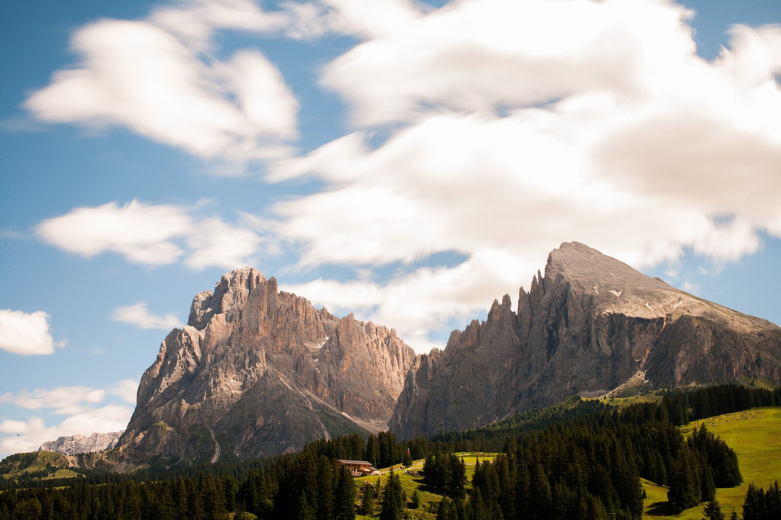
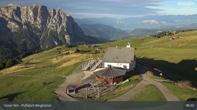
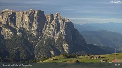
ライブカメラ
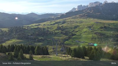
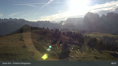
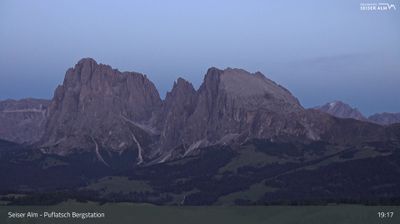
営業中のリフト: 0/21
積雪情報
- 過去24時間: 0 cm
- 過去72時間: 0 cm
- 過去7日間: 0 cm
- 過去7日間: 山麓 0cm · 中腹 0cm · 山頂 0cm
- シーズン累計: 0 cm
About Alpe di Siusi (Seiser Alm)
Europe’s largest high-altitude meadow offers a serene, sun-drenched plateau defined by jagged Dolomite peaks and Ladin soul.
Highlights
- Vast rolling pastures
- Dramatic Sciliar views
- Gourmet mountain huts
- Winter hiking trails
Key Facts
- Altitude: 1227m
- Top lift: 2220m
- Ski pistes: 63km
- Ski lifts: 21
- Population: 25
- Lakes nearby: 6
- MTB trails: 291.2km
- Mountain huts: 44
Ski Area
Weather and 10-day forecast for Alpe di Siusi (Seiser Alm)
- Today: 5 to 13 °C, clear sky, 12 h of sunshine
- Freezing level today: about 3048 m (2860 to 3250 m)
| Day | Min / max | Sky | Precipitation | Sunshine |
|---|---|---|---|---|
| 9月22日(火) | 5 / 13 °C | clear sky | dry | 12 h sun |
| 9月23日(水) | 3 / 12 °C | clear sky | dry | 12 h sun |
| 9月24日(木) | 3 / 13 °C | partly cloudy | dry | 6 h sun |
| 9月25日(金) | 2 / 12 °C | clear sky | dry | 12 h sun |
| 9月26日(土) | 4 / 13 °C | clear sky | dry | 12 h sun |
| 9月27日(日) | 6 / 15 °C | mainly clear | dry | 6 h sun |
| 9月28日(月) | 8 / 16 °C | mainly clear | dry | 8 h sun |
| 9月29日(火) | 8 / 16 °C | fog | dry | 11 h sun |
| 9月30日(水) | 7 / 19 °C | drizzle | 1 mm rain | 12 h sun |
| 10月1日(木) | 9 / 17 °C | drizzle | 1 mm rain | 11 h sun |
Things to do in Alpe di Siusi (Seiser Alm)
Hikes nearby — Alpe di Siusi (Seiser Alm) (17)
17 curated hiking trails around Alpe di Siusi (Seiser Alm), sourced from OpenStreetMap and enriched with distance, elevation gain and difficulty.
-
Via Alpina Yellow B25
Rifugio Antermoia - Schlernhaus / Rifugio Bolzano
-
Dolomites World Heritage Geotrail 10
-
Seiser-Alm-Steig - Sentiero Alpe di Siusi
-
Puflatschumrundung - Giro del Bulacia
-
Hans und Paula Steger Weg - Sentiero Hans e Paula Steger
-
Wassersteig
-
Geotrail Bula - Pufels - Bulla
Geological fault lines and exposed rock strata along the edge of the UNESCO World Heritage Dolomites are explained through three general information boards and eight interpretive panels, tracing the mountain range's formation and the global mass extinction at the Permian-Triassic boundary.
-
Geologensteig
The Geologensteig begins at Bagni di Razzes (Bad Ratzes), close to the eponymous hotel near healing springs, and leads to the Prossliner Hut. Along the way, information stations make the trail's geological story accessible to anyone, not just specialists.
-
Bischofsweg - Sentiero del Vescovo
-
Oswald-von-Wolkenstein-Weg
-
Poststeig
-
Rundweg Laranz - Giro Laranza
The Laranz Forest Loop winds through woodland dotted with mushroom sculptures, making it a family-friendly circuit in the hills around Kastelruth.
-
Via Alpina Yellow B26
Schlernhaus / Rifugio Bolzano - Bozen / Bolzano
-
Dolomites World Heritage Geotrail 9
-
Jakobsweg Villanders => Oberbozen - Cammino di San Giacomo Villandro => Soprabolzano
Villanders > Barbian > Klobenstein > Oberbozen - Villandro > Barbiano > Collalbo > Soprabolzano
-
10 - Sauderer Almweg
-
1 - Kardaun => Nigerpass => Kölner Hütte
Mountain biking near Alpe di Siusi (Seiser Alm)
- MTB: Val Duron CCW
- MTB-Tour zur Laurinhütte
- MTB 283: Puflatsch-Umrundung
- Marinzen Tour
- Spitzbühl Runde
- Verbindung Seis-Compatsch
- Variante Bula
- Familienradtour auf der Seiser Alm
Getting to Alpe di Siusi (Seiser Alm)
Door-to-door travel times as used by the MR. ALPS ranking.
- Nearest airport: Innsbruck Airport (INN), 83 km away, about 1h59 by road
- Bolzano - Bozen: 42 min by car, 34 km
- Trento: 1h15 by car, 91 km
- Innsbruck: 1h47 by car, 119 km
- Verona: 2h13 by car, 186 km
- Brescia: 2h44 by car, 222 km
- Padova: 2h58 by car, 265 km
Where to stay in Alpe di Siusi (Seiser Alm)
200 places to stay for a night on 2026-09-25, from 317 EUR per night, median 461 EUR. Prices are direct with hotels and destinations, compared live on the Alpe di Siusi (Seiser Alm) page.