Gloucester Ski and Snowboard Centre
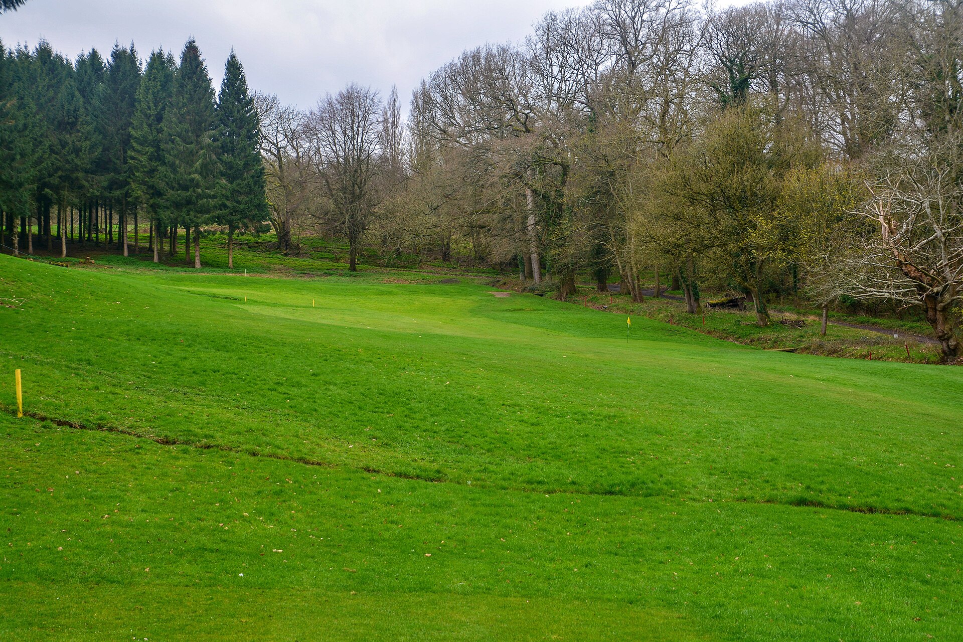
About Gloucester Ski and Snowboard Centre
A year-round hub for British dry-slope culture, offering a gritty, urban alternative to the mountains in the heart of the Cotswolds.
Highlights
- Dry-slope sessions
- Après-ski bar
- Big air ramps
- Tubing runs
Key Facts
- Altitude: 73m
- Top lift: 121m
- Ski pistes: 1.2km
- Ski lifts: 4
- Lakes nearby: 11
- MTB trails: 5.4km
Ski Area
Weather and 10-day forecast for Gloucester Ski and Snowboard Centre
- Today: 2 to 7 °C, partly cloudy, 6 h of sunshine
- Freezing level today: about 1195 m (800 to 2830 m)
| Day | Min / max | Sky | Precipitation | Sunshine |
|---|---|---|---|---|
| lun 16 nov | 2 / 7 °C | partly cloudy | dry | 6 h sun |
| mar 17 nov | 5 / 11 °C | drizzle | dry | 3 h sun |
| mer 18 nov | 7 / 9 °C | drizzle | dry | 1 h sun |
| gio 19 nov | 6 / 8 °C | overcast | dry | 2 h sun |
| ven 20 nov | 1 / 8 °C | drizzle | dry | 1 h sun |
| sab 21 nov | 1 / 9 °C | overcast | dry | 2 h sun |
| dom 22 nov | 5 / 9 °C | drizzle | dry | 2 h sun |
| lun 23 nov | 5 / 11 °C | overcast | dry | 1 h sun |
| mar 24 nov | 6 / 9 °C | fog | dry | 0 h sun |
| mer 25 nov | 5 / 8 °C | drizzle | dry | 0 h sun |
Things to do in Gloucester Ski and Snowboard Centre
Hikes nearby - Gloucester Ski and Snowboard Centre (10)
10 curated hiking trails around Gloucester Ski and Snowboard Centre, sourced from OpenStreetMap and enriched with distance, elevation gain and difficulty.
-
Cotswold Way
Il Cotswold Way è un sentiero a lunga percorrenza di 102 miglia (164 km), che si snoda lungo la scarpata del Cotswold Edge nelle Cotswold Hills in Inghilterra. È stato ufficialmente inaugurato come National Trail il 24 maggio 2007 e sono stati creati diversi nuovi diritti di passaggio.
-
Cotswold Way (Selsley Common route)
Alternative (longer and tougher, but more scenic) route from Ryeford to just south of Kings Stanley, over Selsley Common.
-
Gustav Holst Way (Cranham Church to Crickley Hill)
-
Glevum Way
Un percorso circolare intorno a Gloucester che attraversa un paesaggio vario di pianura fluviale e colline calcaree.
-
Wysis Way
Sentiero a lunga percorrenza che forma un collegamento tra il Thames e il Wye
-
Three Choirs Way (Gloucester to Kilcot)
A route between Gloucester, Hereford and Worcester with a theme linked to the music festival celebrated annually in the three Cathedrals.
-
Gustav Holst Way (Crickley Hill to Holst Birthplace Museum)
-
Bruce Trail Friendship Trail
Cotswold Way Bruce Trail Friendship Trail: beacons, commons and woods.
-
Walk Around Stroud (The WAS Way)
-
Cheltenham Circular Footpath
Mountain bike vicino a Gloucester Ski and Snowboard Centre
- Buckholt Woods Singletrack
Tutti i percorsi MTB vicino a Gloucester Ski and Snowboard Centre
Getting to Gloucester Ski and Snowboard Centre
Door-to-door travel times as used by the MR. ALPS ranking.
- Nearest airport: Bristol Airport (BRS), 61 km away, about 1h05 by road
- London: 2h24 by car, 165 km
- Bruxelles: 6h27 by car, 550 km
- Amsterdam: 8h27 by car, 716 km
Where to stay in Gloucester Ski and Snowboard Centre
240 places to stay for a night on 2026-11-20, from 47 EUR per night, median 124 EUR. Prices are direct with hotels and destinations, compared live on the Gloucester Ski and Snowboard Centre page.