Piana di Vigezzo
Alpi › Alpi Lepontine › Alpi Ticinesi e del Verbano
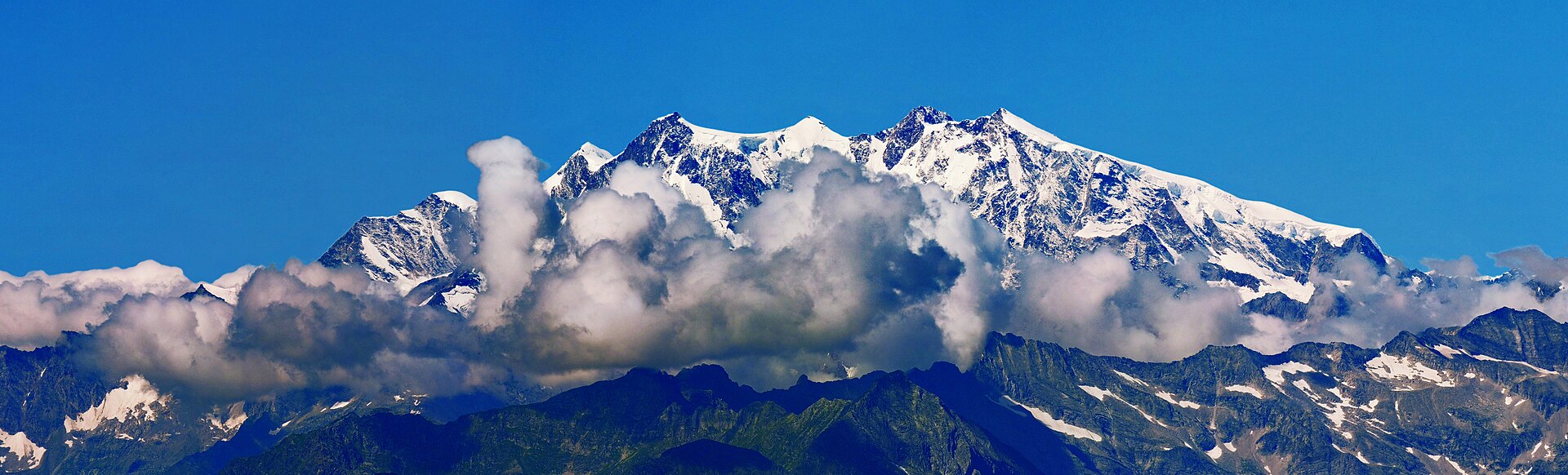
About Piana di Vigezzo
A panoramic balcony in the Val Vigezzo, celebrated for its artistic heritage and expansive trekking trails above the clouds.
Highlights
- Panoramic cableway
- High-altitude trekking
- Artistic valley heritage
- Paragliding launch sites
Key Facts
- Altitude: 1254m
- Top lift: 2053m
- Ski pistes: 12km
- Ski lifts: 4
- Lakes nearby: 8
- MTB trails: 33.9km
- Mountain huts: 9
Ski Area
Weather and 10-day forecast for Piana di Vigezzo
- Today: -2 to 6 °C, partly cloudy, 4 h of sunshine
- Freezing level today: about 2033 m (1530 to 2310 m)
| Day | Min / max | Sky | Precipitation | Sunshine |
|---|---|---|---|---|
| lun 16 nov | -2 / 6 °C | partly cloudy | dry | 4 h sun |
| mar 17 nov | 1 / 4 °C | rain showers | dry | 1 h sun |
| mer 18 nov | 1 / 6 °C | rain showers | dry | 5 h sun |
| gio 19 nov | 0 / 5 °C | rain | dry | 4 h sun |
| ven 20 nov | 0 / 5 °C | clear sky | dry | 8 h sun |
| sab 21 nov | 0 / 6 °C | clear sky | dry | 9 h sun |
| dom 22 nov | -1 / 1 °C | snow | dry | 0 h sun |
| lun 23 nov | -10 / 3 °C | clear sky | dry | 9 h sun |
| mar 24 nov | -10 / 1 °C | overcast | dry | 1 h sun |
| mer 25 nov | -14 / -1 °C | snow | dry | 0 h sun |
Things to do in Piana di Vigezzo
Hikes nearby - Piana di Vigezzo (19)
19 curated hiking trails around Piana di Vigezzo, sourced from OpenStreetMap and enriched with distance, elevation gain and difficulty.
-
M23 - bivio M21 presso San Gerolamo - Bocchetta di Muino
-
M21 - Toceno - San Pantaleone
-
M29 - Craveggia - Bocchetta della Cima
-
M27 - Vocogno - Piana di Vigezzo
-
M25 - Promez - Forcola di Larecchio
-
M47 - Alpe Cortaccio - Laghetti dei Muini
-
M19 - Alpe Verzasca - Pioda di Crana
Percorso ben segnato. Prima parte nel bosco sentiero non troppo evidente, poi sentiero di cresta anche esposto. Pendenze ripide; ultimo tratto molto esposto da evitare in caso di pioggia
-
M31 - Craveggia - Bocchetta della Cima
-
M37d Bocchetta di S. Antonio - Bocchetta della Cima
-
M33 - in Bies - Bocchetta di Sant'Antonio
-
M49 - Bivio M51 - Alpe di Ruggia
-
M17 - Coier - Passo Campeia
-
M15 - Arvogno - Pizzo la Scheggia
-
M51a - Fondo Monfracchio - Cresta di Moriming
-
M35 - Zornasco - Alpe Fontana Verde
Percorso molto ripido all'inizio raggiunta la cresta la si segue con pendenze più agevoli. Un piccolo tratto a quota 1147 su pendio ripido ed esposto a nord richiede attenzione. L'ultimo tratto dalla quota 1410 all'Alpe Fontana Verde è adatto a turisti
-
Sentiero Salèi e Pizzo Zucchero
-
Alta Via dei Gridoni - Tappa 1
-
Alta Via dei Gridoni - Tappa 2
-
13 - Cimalmotto - Capanna Ribia
Mountain bike vicino a Piana di Vigezzo
- Downhill-Track
- La Colma
Getting to Piana di Vigezzo
Door-to-door travel times as used by the MR. ALPS ranking.
- Nearest airport: Milan Malpensa International Airport (MXP), 63 km away, about 1h48 by road
Where to stay in Piana di Vigezzo
71 places to stay for a night on 2026-11-20, from 111 EUR per night, median 185 EUR. Prices are direct with hotels and destinations, compared live on the Piana di Vigezzo page.