Skigebiet Sauerberg Frammersbach
About Skigebiet Sauerberg Frammersbach
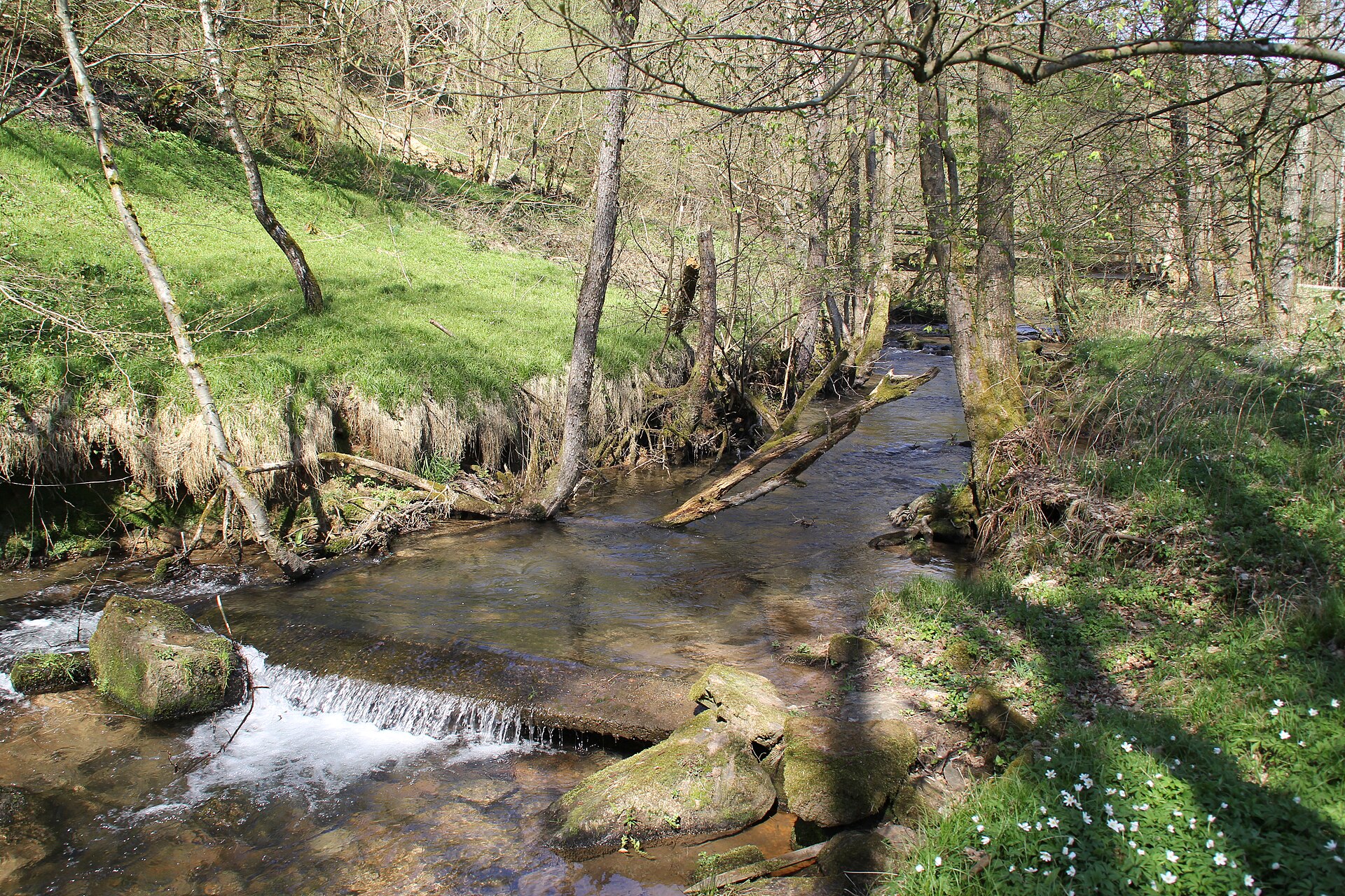
A modest Spessart getaway where Bavarian tradition meets relaxed forest trails and community-led winter slopes.
Highlights
- Dense forest hikes
- Family-run atmosphere
- Traditional Bavarian inns
- Natural park scenery
Key Facts
- Altitude: 281m
- Top lift: 375m
- Ski pistes: 1.3km
- Ski lifts: 1
- Lakes nearby: 8
- MTB trails: 168km
Ski Area
Weather and 10-day forecast for Skigebiet Sauerberg Frammersbach
- Today: 10 to 21 °C, clear sky, 6 h of sunshine
- Freezing level today: about 3960 m (3830 to 4070 m)
| Day | Min / max | Sky | Precipitation | Sunshine |
|---|---|---|---|---|
| sab 3 ott | 10 / 21 °C | clear sky | dry | 6 h sun |
| dom 4 ott | 9 / 20 °C | overcast | dry | 4 h sun |
| lun 5 ott | 7 / 20 °C | partly cloudy | dry | 5 h sun |
| mar 6 ott | 8 / 20 °C | clear sky | dry | 11 h sun |
| mer 7 ott | 9 / 21 °C | clear sky | dry | 11 h sun |
| gio 8 ott | 7 / 16 °C | rain | dry | 1 h sun |
| ven 9 ott | 5 / 11 °C | partly cloudy | dry | 4 h sun |
| sab 10 ott | 7 / 11 °C | drizzle | dry | 3 h sun |
| dom 11 ott | 6 / 10 °C | drizzle | dry | 9 h sun |
| lun 12 ott | 5 / 9 °C | drizzle | dry | 4 h sun |
Things to do in Skigebiet Sauerberg Frammersbach
Hikes nearby - Skigebiet Sauerberg Frammersbach (19)
19 curated hiking trails around Skigebiet Sauerberg Frammersbach, sourced from OpenStreetMap and enriched with distance, elevation gain and difficulty.
-
Hessenweg 9 (Teilstück Gelnhausen - Lohr am Main)
-
Schneewittchenweg, Stadt Lohr a. M.
-
Gebietswanderweg Roter Schrägbalken, Kleinkahl - Heinrichsthal
Kleinkahl - Heinrichsthal - Wiesthal Bhf - Schneewittchenweg
-
Lilie
-
Eselsweg
Der Eselsweg è un sentiero di crinale che non attraversa quasi nessun paese ed è probabilmente utilizzato già da 2.000 anni. Il suo nome deriva dalle carovane di asini nel Medioevo, che trasportavano sale da Bad Orb a Miltenberg per l'imbarco.
-
WEstSPEssart (nördlicher Teil)
-
Gebietswanderweg Rotes X: Laufach - Wiesbütt
Gebietswanderweg Rotes X: Laufach - Sailauf - Eichenberg - Jakobsthal - Wiesen - Wiesbütt, einschl. Zubringer Engländer
-
Birkenhainer Straße
Oggi un affascinante percorso escursionistico, la Birkenhainer Straße era nel Medioevo un importante collegamento trasversale tra il Rheinfranken e l'Ostfranken. Il sentiero si snoda per 71 chilometri lungo crinali panoramici e offre ampie vedute su…
-
Diepoldspfad - Gebietswanderweg Roter Punkt Laufach - Rothenbuch
Gebietswanderweg Laufach über Sieben Wege nach Rothenbuch
-
Bratschweg
Jakobsthal – Engländer - Rodberghütte - Schöllkrippen
-
Gebietswanderweg Rotes Dreieck: Laufach -> Hain
-
Gebietswanderweg: Oberndorf => Bieber (Birkenhainer Str.)
Oberndorf, Lettgenbrunn, Villbach (Anschl. Eselsweg), Bieber - Birkenhainer Straße
-
Spessartweg 3
Bad Soden-Salmünster nach Heigenbrücken
-
Ortswanderweg Habichsthal H2
Kirche - Hirtenweg - Kornweg - ... - Birkler Grund (kein Rundweg!)
-
Roter Hase, Rundwanderweg Wiesen
-
Gebietswanderweg Rotes Dreieck: Burgjosser Heiligen - Bayrische Schanz
-
Blauer Pilz Rundwanderweg, Bayerische Schanz
-
Baryt-Rundwanderweg
-
Blauer Pilz, Rundwanderweg 7 Wege
Mountain bike vicino a Skigebiet Sauerberg Frammersbach
- Rennpfad
Tutti i percorsi MTB vicino a Skigebiet Sauerberg Frammersbach
Getting to Skigebiet Sauerberg Frammersbach
Door-to-door travel times as used by the MR. ALPS ranking.
- Nearest airport: Frankfurt Main Airport (FRA), 62 km away, about 1h11 by road
- Frankfurt am Main: 1h05 by car, 78 km
- Mannheim: 1h42 by car, 149 km
- Nürnberg: 2h02 by car, 194 km
- Koblenz: 2h08 by car, 191 km
- Stuttgart: 2h15 by car, 206 km
- Strasbourg: 3h05 by car, 284 km
Where to stay in Skigebiet Sauerberg Frammersbach
10 places to stay for a night on 2026-10-09, from 103 EUR per night, median 125 EUR. Prices are direct with hotels and destinations, compared live on the Skigebiet Sauerberg Frammersbach page.