Altenberg – Kipsdorf
Webcam in diretta
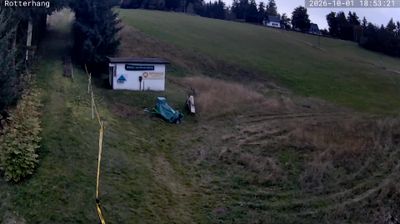
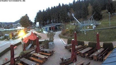
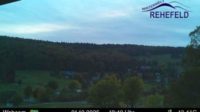
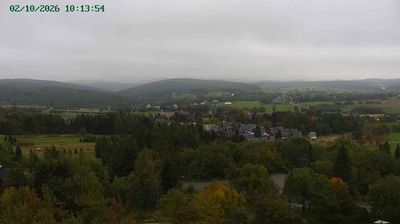
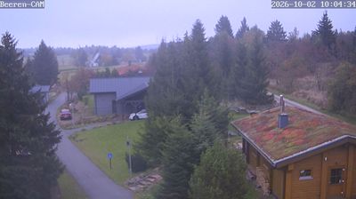

Impianti aperti: 0/3
Bollettino neve
- Ultime 24h (601 m): 0 cm
- Ultime 72h (601 m): 0 cm
- Ultimi 7 giorni: Cima (651 m) 3cm · Mezza montagna (601 m) 1cm · Valle (550 m) 3cm
- Totale stagionale (601 m): 0 cm
Comprensori sciistici aperti ora · Bollettino neve
About Altenberg – Kipsdorf
A rugged Saxon escape where Erzgebirge mining heritage meets a serious bobsleigh culture and quiet, dense forest trails.
Highlights
- World-class sliding track
- Ore Mountain heritage
- Deep spruce forests
- Cross-country circuits
Key Facts
- Altitude: 550m
- Top lift: 651m
- Ski pistes: 1.2km
- Ski lifts: 2
- Lakes nearby: 21
- MTB trails: 293.1km
Ski Area
Weather and 10-day forecast for Altenberg – Kipsdorf
- Today: 1 to 9 °C, rain, 0 h of sunshine
- Freezing level today: about 1648 m (830 to 2430 m)
| Day | Min / max | Sky | Precipitation | Sunshine |
|---|---|---|---|---|
| mar 17 nov | 1 / 9 °C | rain | dry | 0 h sun |
| mer 18 nov | 6 / 9 °C | rain showers | dry | 0 h sun |
| gio 19 nov | 4 / 7 °C | rain | dry | 1 h sun |
| ven 20 nov | 2 / 5 °C | rain | dry | 0 h sun |
| sab 21 nov | -1 / 2 °C | overcast | dry | 1 h sun |
| dom 22 nov | -1 / 1 °C | snow showers | dry | 2 h sun |
| lun 23 nov | -2 / 1 °C | partly cloudy | dry | 5 h sun |
| mar 24 nov | -3 / 2 °C | clear sky | dry | 9 h sun |
| mer 25 nov | -1 / 1 °C | overcast | dry | 1 h sun |
| gio 26 nov | -1 / 3 °C | overcast | dry | 1 h sun |
Things to do in Altenberg – Kipsdorf
Hikes nearby - Altenberg – Kipsdorf (20)
20+ curated hiking trails around Altenberg – Kipsdorf, sourced from OpenStreetMap and enriched with distance, elevation gain and difficulty.
-
Trinkwasserlehrpfad Lehnmühle - Klingenberg
-
Three peaks tour
-
Auf den Spuren Max Nackes
-
Wanderung von Bärenfels durch das romantische Pöbeltal
-
Fernwanderweg Görlitz – Greiz (Teil: Glashütte – Frauenstein)
-
Grüner Punkt
-
Grüner Balken
-
Grüner Punkt
-
Rundwanderweg um die Uhrenstadt Glashütte
-
Gelber Punkt
-
Grüner Rückstrich
-
Bärenstein - Geisingberg (grüner Punkt)
-
Gelber Punkt
-
Drei-Berge-Tour
-
Gelber Balken Dittersdorf
-
Bergbaulehrpfad Altenberg
-
Rotmarkierter Wanderweg
-
Geising - Schmiedeberg (grüner Strich)
-
Rehefeld-Zinnwald
eventuell unvollständig
-
Gelber Balken Region Mulda
Mountain bike vicino a Altenberg – Kipsdorf
- BLOCKLINE Gesamtstrecke an zwei Tagen: 1. Tag Holzhau - Mulda (Kombination Freiberger Eisenbahn)
- Blockline Loop 1: Holzhau » Altenberg » Hermsdorf » Holzhau
- BLOCKLINE Miniloop Bärenfels- Seyde- Neuhermsdorf-Altenberg
- Blockline- Miniloop: Holzhau » Neuhermsdorf » » Seyde» »Hermsdorf » Holzhau
- Blockline Miniloop Holzhau Drachenkopf
- Blockline Etappe 07: Hermsdorf » Frauenstein
- Blockline Etappe 05: Altenberg » Bärenfels
- Blockline Etappe 06: Bärenfels » Hermsdorf
Getting to Altenberg – Kipsdorf
Door-to-door travel times as used by the MR. ALPS ranking.
- Nearest airport: Dresden Airport (DRS), 37 km away, about 1h16 by road
- Berlin: 2h58 by car, 237 km
- Nürnberg: 3h45 by car, 340 km
- München: 5h07 by car, 414 km
- Frankfurt am Main: 5h16 by car, 496 km
- Wien: 5h18 by car, 454 km
- Stuttgart: 5h44 by car, 536 km
Where to stay in Altenberg – Kipsdorf
109 places to stay for a night on 2026-11-20, from 68 EUR per night, median 113 EUR. Prices are direct with hotels and destinations, compared live on the Altenberg – Kipsdorf page.