Plateau de Retord
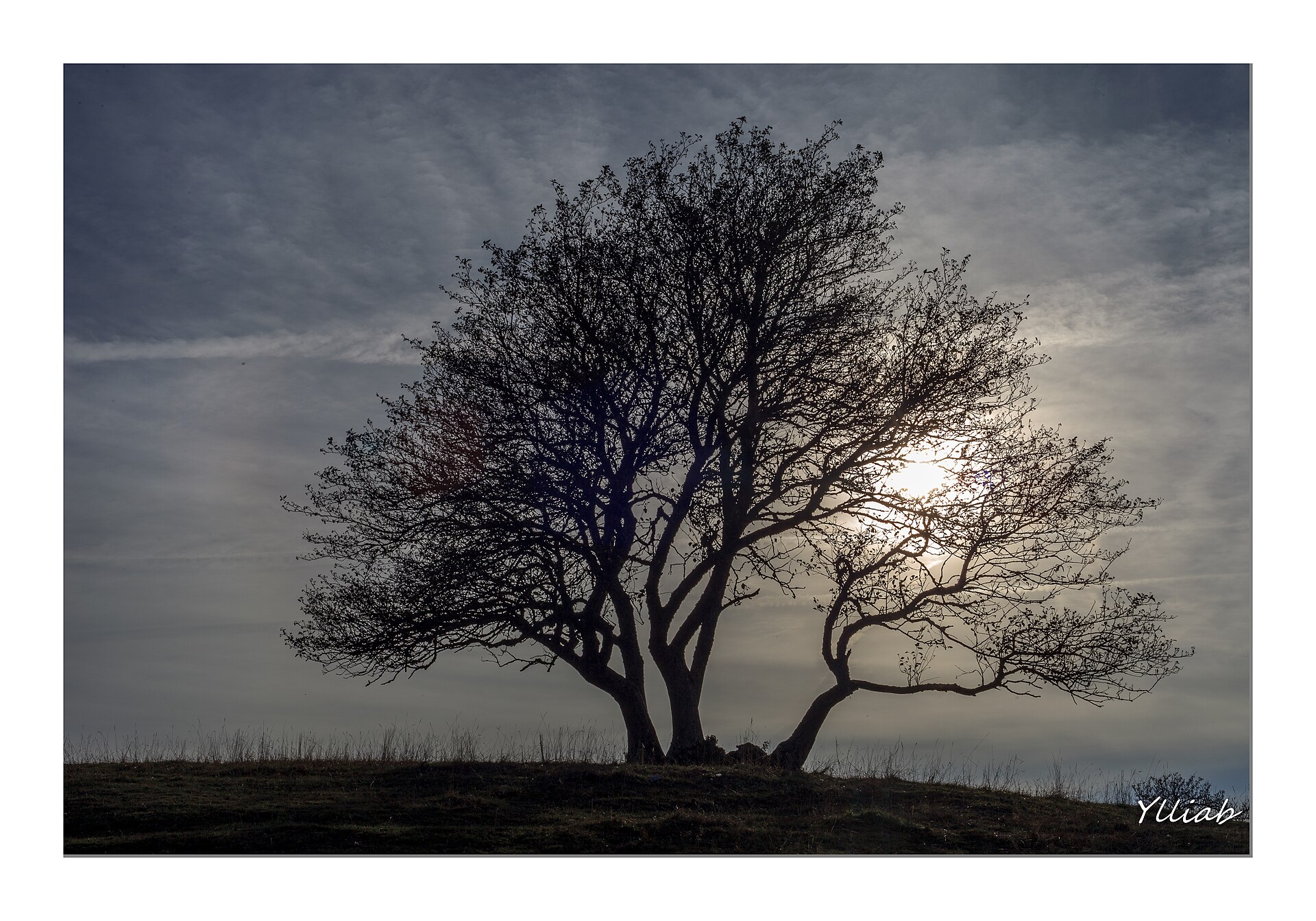
About Plateau de Retord
A vast, rolling wilderness in the Jura mountains defined by its Nordic traditions, solitude, and flowering spring meadows.
Highlights
- Nordic ski trails
- Rolling limestone plateaus
- Traditional farmhouse inns
- Wild narcissus blooms
Key Facts
- Altitude: 996m
- Top lift: 1228m
- Ski pistes: 8.4km
- Ski lifts: 9
- Lakes nearby: 5
- MTB trails: 241.3km
- Mountain huts: 2
Ski Area
Weather and 10-day forecast for Plateau de Retord
- Today: 6 to 8 °C, rain showers, 0 h of sunshine
- Freezing level today: about 2786 m (2260 to 3160 m)
| Day | Min / max | Sky | Precipitation | Sunshine |
|---|---|---|---|---|
| mar 17 nov | 6 / 8 °C | rain showers | dry | 0 h sun |
| mer 18 nov | 6 / 8 °C | rain showers | dry | 3 h sun |
| gio 19 nov | 4 / 6 °C | thunderstorm | dry | 1 h sun |
| ven 20 nov | 4 / 5 °C | thunderstorm | dry | 0 h sun |
| sab 21 nov | 3 / 6 °C | rain | dry | 2 h sun |
| dom 22 nov | 3 / 5 °C | rain | dry | 0 h sun |
| lun 23 nov | 1 / 7 °C | clear sky | dry | 7 h sun |
| mar 24 nov | 0 / 4 °C | drizzle | dry | 0 h sun |
| mer 25 nov | -1 / 4 °C | rain showers | dry | 1 h sun |
| gio 26 nov | -2 / 3 °C | drizzle | dry | 0 h sun |
Things to do in Plateau de Retord
Hikes nearby - Plateau de Retord (15)
15 curated hiking trails around Plateau de Retord, sourced from OpenStreetMap and enriched with distance, elevation gain and difficulty.
-
Grand Tour de la Valserine
-
Balcon du Valromey
Autour du Valromey en 5 jours
-
Le Tour de Retord
-
La Ronde des Plans
-
Sentier du Maquis de Retord
-
La Boucle de l'Oreille
-
Sentier des Écureuils
-
La boucle des Roirettes
-
La boucle du Châtelard
-
Le bois du Geay
-
Sentier de Colliard
-
Sentier des Glacières
-
Sentier de la Garde du Mont Cornet
-
Les Rives Sauvages du Rhône
-
Tour d'Horizon
Mountain bike vicino a Plateau de Retord
- Tour de Pays Bugey Grand Colombier
- Parcours VTT 15 noir - Le grand tour du plateau de Retord - Espace FFC Ain Forestière
- Parcours VTT 14 rouge - Retord - les balcons du Mont Blanc - Espace FFC Ain Forestière
- Parcours VTT 13 rouge - Le sud du Plateau de Retord - Espace FFC Ain Forestière
- Parcours VTT 12 vert - Les balcons des Plans - Espace FFC Ain Forestière
- Parcours VTT 11 bleu - Le tour de la Chèvre - Espace FFC Ain Forestière
Getting to Plateau de Retord
Door-to-door travel times as used by the MR. ALPS ranking.
- Nearest airport: Annecy Meythet airport (NCY), 34 km away, about 1h24 by road
- Genève: 1h17 by car, 76 km
- Annecy: 1h31 by car, 78 km
- Lyon: 1h38 by car, 106 km
- Chambéry: 1h39 by car, 82 km
- Lausanne: 1h57 by car, 137 km
- Grenoble: 2h20 by car, 125 km