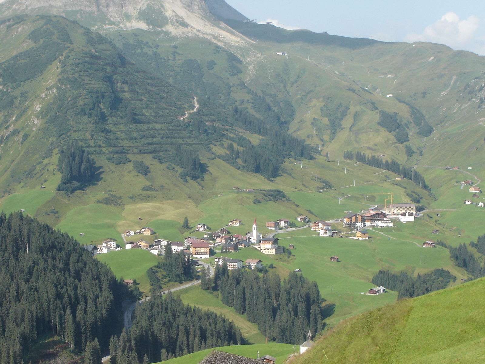
Warth
Alpi › Alpi Calcaree Nordtirolesi › Monti delle Lechquellen
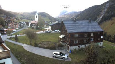
Webcam in diretta
Impianti aperti: 0/85
Bollettino neve
- Ultime 24h (2152 m): 9 cm
- Ultime 72h (2152 m): 25 cm
- Ultimi 7 giorni: Cima (2811 m) 25cm · Mezza montagna (2152 m) 28cm · Valle (1493 m) 8cm
- Totale stagionale (2152 m): 15 cm
Comprensori sciistici aperti ora · Bollettino neve
About Warth
Known as a legendary snow hole, this quiet hamlet offers raw, uncrowded slopes that attract serious powder hounds and off-piste purists.
Highlights
- Deep natural snowpack
- Arlberg side-door access
- Quiet mountain charm
- Backcountry terrain
Key Facts
- Altitude: 1493m
- Top lift: 2811m
- Ski pistes: 299.2km
- Ski lifts: 85
- Population: 1,547
- Lakes nearby: 10
- MTB trails: 128km
- Mountain huts: 23
Ski Area
Ski Arlberg – St. Anton/St. Christoph/Stuben/Lech/Zürs/Warth/Schröcken
Incluso in questi abbonamenti stagionali
Weather and 10-day forecast for Warth
- Today: -6 to 0 °C, snow, 0 h of sunshine
- Freezing level today: about 2023 m (1760 to 2300 m)
- Snowfall in the last 7 days: 43 cm
| Day | Min / max | Sky | Precipitation | Sunshine |
|---|---|---|---|---|
| dom 22 nov | -6 / 0 °C | snow | dry | 0 h sun |
| lun 23 nov | -6 / -5 °C | snow | dry | 0 h sun |
| mar 24 nov | -8 / -2 °C | partly cloudy | dry | 5 h sun |
| mer 25 nov | -5 / -1 °C | snow | dry | 0 h sun |
| gio 26 nov | -8 / -5 °C | snow | dry | 4 h sun |
| ven 27 nov | -12 / -7 °C | clear sky | dry | 7 h sun |
| sab 28 nov | -11 / 1 °C | partly cloudy | dry | 4 h sun |
| dom 29 nov | -9 / -1 °C | overcast | dry | 3 h sun |
| lun 30 nov | -11 / -3 °C | clear sky | dry | 7 h sun |
| mar 1 dic | -11 / -2 °C | snow | dry | 2 h sun |
Things to do in Warth
Hikes nearby - Warth (7)
7 curated hiking trails around Warth, sourced from OpenStreetMap and enriched with distance, elevation gain and difficulty.
-
Via Alpina Stage 52: Mindelheimer Hütte - Schröcken
Mindelheimerhütte - Schröcken
-
Via Alpina Red R51
Oberstdorf - Mindelheimerhütte
-
Dorfrundweg
-
Wanderweg 439
Lechleiten - Biberkopf - Steinscharte - Schochenalptal
-
Wanderweg 441
Oberstdorf - Rappenalptal - Mindelheimer Hütte
-
Wanderweg 442
-
Krumbacher Höhenweg
In alto sopra il Rappenalptal, il Krumbacher Höhenweg attraversa i versanti sotto le frastagliate Schafalpenköpfe, offrendo viste ininterrotte sull'Allgäuer Hauptkamm — e la possibilità di avvistare Steinböcke sui pendii. Il sentiero scorre al di sotto del Mindelheimer Klettersteig e inizia appena oltre la Fiderescharte, collegando la Fiderepasshütte con la Mindelheimer Hütte su un terreno tecnicamente semplice ma visivamente spettacolare.
Mountain bike vicino a Warth
- Schröcken-Auenfeld-Saloberkopf-Hochkrumbach
- Bockbach Tour
- Alte Salzstraße S0+
- Rauhgehrenweg
Getting to Warth
Door-to-door travel times as used by the MR. ALPS ranking.
- Nearest airport: Innsbruck Airport (INN), 88 km away, about 1h40 by road
- Innsbruck: 1h46 by car, 127 km
- Zürich: 2h33 by car, 177 km
- München: 2h41 by car, 181 km
- Luzern: 2h56 by car, 219 km
- Bolzano - Bozen: 3h10 by car, 239 km
- Basel: 3h26 by car, 256 km
Where to stay in Warth
323 places to stay for a night on 2026-11-27, from 84 EUR per night, median 249 EUR. Prices are direct with hotels and destinations, compared live on the Warth page.