Tux
Alpi › Alpi Scistose Tirolesi › Prealpi del Tux
Webcam in diretta
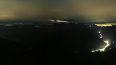
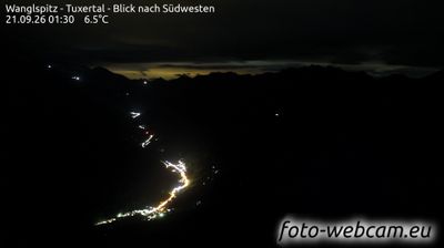
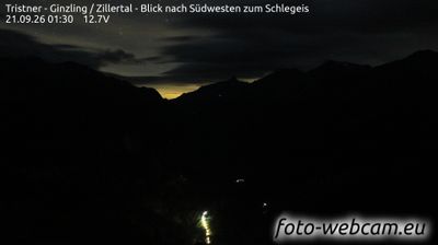
Impianti aperti: 0/61
Bollettino neve
- Ultime 24h (1900 m): 3 cm
- Ultime 72h (1900 m): 6 cm
- Ultimi 7 giorni: Cima (2500 m) 17cm · Mezza montagna (1900 m) 9cm · Valle (1300 m) 4cm
- Totale stagionale (1900 m): 4 cm
Comprensori sciistici aperti ora · Bollettino neve
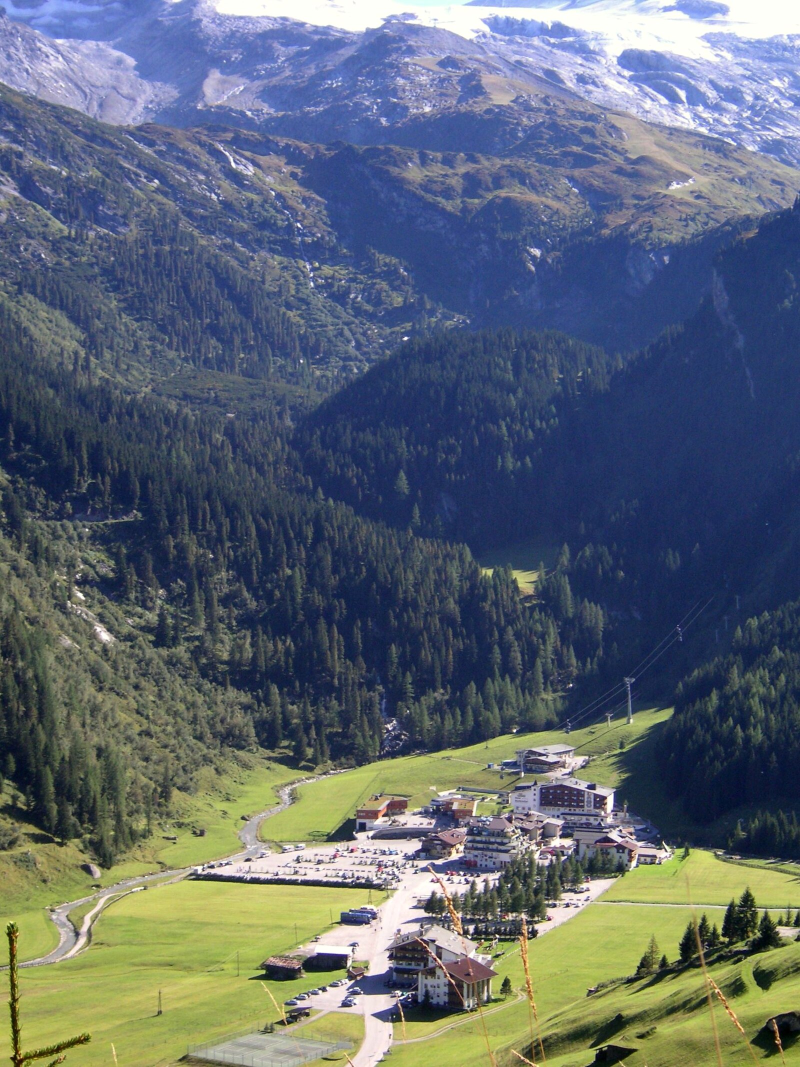
About Tux
A high-altitude haven where traditional Tyrolean farming meets the reliable, year-round thrill of steep glacier runs.
Highlights
- Year-round glacier skiing
- Traditional farmhouse architecture
- High-altitude snow security
- Authentic Tyrolean hospitality
Key Facts
- Altitude: 1300m
- Top lift: 2500m
- Ski pistes: 124.2km
- Ski lifts: 44
- Population: 3,743
- Lakes nearby: 13
- MTB trails: 215.8km
- Mountain huts: 26
Ski Area
Incluso in questi abbonamenti stagionali
Weather and 10-day forecast for Tux
- Today: -2 to 2 °C, snow, 1 h of sunshine
- Freezing level today: about 1967 m (1770 to 2170 m)
- Snowfall in the last 7 days: 7 cm
| Day | Min / max | Sky | Precipitation | Sunshine |
|---|---|---|---|---|
| dom 22 nov | -2 / 2 °C | snow | dry | 1 h sun |
| lun 23 nov | -7 / -2 °C | snow | dry | 1 h sun |
| mar 24 nov | -9 / -2 °C | clear sky | dry | 9 h sun |
| mer 25 nov | -3 / 1 °C | overcast | dry | 1 h sun |
| gio 26 nov | -9 / -3 °C | snow | dry | 0 h sun |
| ven 27 nov | -12 / -7 °C | partly cloudy | dry | 5 h sun |
| sab 28 nov | -12 / -7 °C | clear sky | dry | 9 h sun |
| dom 29 nov | -11 / 3 °C | overcast | dry | 1 h sun |
| lun 30 nov | -6 / 3 °C | snow | dry | 1 h sun |
| mar 1 dic | -6 / 3 °C | snow | dry | 0 h sun |
Things to do in Tux
Hikes nearby - Tux (17)
17 curated hiking trails around Tux, sourced from OpenStreetMap and enriched with distance, elevation gain and difficulty.
-
AV Weg 321
-
Zillertal Wanderweg 35
-
Wanderweg 315
-
Wanderweg 534
-
Wanderweg 325
-
Wanderweg 527
-
Junsjochsteig - Geier - Lizumer Reckner
Abzweigung Weg 322: Geier - Lizumer Reckner
-
Klammjoch - Tarntalerköpfe - Lizumer Sonnenspitze - Geier
-
Via Alpina Red R37
Ginzling - Finkenberg
-
Via Alpina Red R36
Pfitscherjoch / Passo Vizze - Ginzling
-
Berliner Höhenweg Etappe 1
-
Berliner Höhenweg Etappe 2
-
Wanderweg 536
-
Wanderweg 526
-
Wanderweg 530
-
Erlebnisweg Tuxerbach
-
19
Mountain bike vicino a Tux
- Rastkogelrunde
- Eggalm - Brandalm Runde
- Vorderlanersbach - Geiseljoch
- Klausbodenrunde
- Fahrweg Lanersbach-Höllensteinhütte
- Bike & Hike Grüblspitze
Getting to Tux
Door-to-door travel times as used by the MR. ALPS ranking.
- Nearest airport: Innsbruck Airport (INN), 30 km away, about 1h42 by road
- Innsbruck: 1h56 by car, 84 km
- München: 2h55 by car, 176 km
- Bolzano - Bozen: 3h22 by car, 200 km
- Trento: 3h53 by car, 255 km
- Nürnberg: 4h24 by car, 344 km
- Verona: 4h51 by car, 350 km
Where to stay in Tux
224 places to stay for a night on 2026-11-27, from 122 EUR per night, median 233 EUR. Prices are direct with hotels and destinations, compared live on the Tux page.