Ramsau am Dachstein
Alpi › Alpi Scistose Salisburghesi
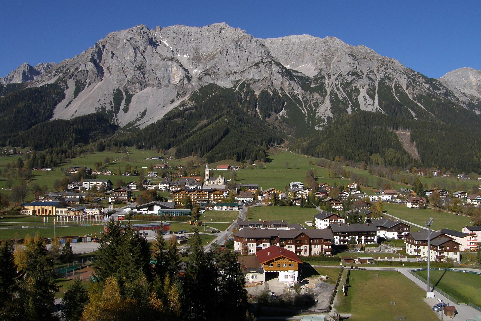
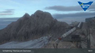
Webcam in diretta

Bollettino neve
- Ultime 24h (1913 m): 4 cm
- Ultime 72h (1913 m): 8 cm
- Ultimi 7 giorni: Cima (2700 m) 8cm · Mezza montagna (1913 m) 8cm · Valle (1125 m) 1cm
- Totale stagionale (1913 m): 4 cm
Comprensori sciistici aperti ora · Bollettino neve
About Ramsau am Dachstein
A high-plateau haven for Nordic purists, where sun-drenched trails and traditional farmhouses define the quintessential Austrian winter.
Highlights
- Cross-country skiing hub
- Sun-drenched high plateau
- Traditional farm stays
- Glacier access
Key Facts
- Altitude: 1125m
- Top lift: 2700m
- Ski pistes: 25.2km
- Ski lifts: 5
- Population: 2,812
- Lakes nearby: 22
- MTB trails: 780.1km
- Mountain huts: 54
Ski Area
Incluso in questi abbonamenti stagionali
Weather and 10-day forecast for Ramsau am Dachstein
- Today: -5 to 1 °C, overcast, 1 h of sunshine
- Freezing level today: about 1761 m (1530 to 2030 m)
- Snowfall in the last 7 days: 10 cm
| Day | Min / max | Sky | Precipitation | Sunshine |
|---|---|---|---|---|
| dom 22 nov | -5 / 1 °C | overcast | dry | 1 h sun |
| lun 23 nov | -10 / -5 °C | partly cloudy | dry | 6 h sun |
| mar 24 nov | -12 / -6 °C | clear sky | dry | 9 h sun |
| mer 25 nov | -9 / 0 °C | overcast | dry | 1 h sun |
| gio 26 nov | -13 / -2 °C | snow | dry | 1 h sun |
| ven 27 nov | -16 / -8 °C | partly cloudy | dry | 3 h sun |
| sab 28 nov | -15 / -7 °C | partly cloudy | dry | 3 h sun |
| dom 29 nov | -10 / 0 °C | partly cloudy | dry | 5 h sun |
| lun 30 nov | -9 / 2 °C | snow | dry | 1 h sun |
| mar 1 dic | -9 / 1 °C | snow showers | dry | 1 h sun |
Things to do in Ramsau am Dachstein
Hikes nearby - Ramsau am Dachstein (13)
13 curated hiking trails around Ramsau am Dachstein, sourced from OpenStreetMap and enriched with distance, elevation gain and difficulty.
-
Etappe 1: Von der Austriahütte auf das Guttenberghaus
-
Ramsauer Klettersteig
Gruber Scharte - Hohe Rams - Scheichenspitze - Schmiedstock - Hohe Gamsfeldspitze - Niedere Gamsfeldspitze
-
Wanderweg 673
Edelgrieß – Scheichenspitze – Gruberscharte – einmd. Weg 618
-
Wanderweg 672
Austriahütte – Edelgrieß – Austriascharte
-
Vom Gletscher zum Wein (Südroute) Etappe 1
The route descends from the Dachstein cable car station at 2,685 m across a wide karst plateau toward the Guttenberghaus, trading glacial terrain for open, rocky highland. Photo captions describe the descent from the Dachstein glacier as the defining visual experience of the stage.
-
Wanderweg 618
This marked route in the Kemet Mountains climbs from the town of Gröbming through the Krahbergsiedlung settlement on its way to the Brünner Hütte mountain hut.
-
Wanderweg 674
Guttenberghaus - Feisterscharte - Landfriedtal - Landesgrenze - Gjaidsteinsattel
-
Dachstein-Tauern-Panoramaweg
Rundweg rechts und links der Enns
-
Wanderweg 772
Pichl/ Bhf. - Weitgasser - Preunegg - Bankwirt - Kainer - Stegeralm - Reiteralm - Gasselhöhe - Rippeteck
-
Wanderweg 671
Ramsau - Wh. Edelbrunn - Brandriedel - Austriahütte - Hotel Dachstein - Maralm - Brandwald - Landesgrenze
-
Wanderweg 615
Pichl/Bhf. - Ramsau - Karlwirt - Wh. Dachstein - Austriahütte - Dachstein-Südwandhütte - Hunerscharte - Hoher Gjaidstein - Gjaid Alm - Obertraun
-
Dachsteinrundwanderweg
-
Almspaziergang
Mountain bike vicino a Ramsau am Dachstein
- Dachsteinrunde Blau
- Panorama Runde
- Rohrmoos Runde
- 07 Ramsau Runde
- Sonnseitn Runde
- Vorberg Trail
- Stadium Flowline
- Rosegger-Steig
Girato qui
- Die Bergretter (2009)
Getting to Ramsau am Dachstein
Door-to-door travel times as used by the MR. ALPS ranking.
- Nearest airport: Salzburg Airport (SZG), 64 km away, about 1h11 by road
- Graz: 2h17 by car, 171 km
- München: 2h35 by car, 224 km
- Innsbruck: 3h09 by car, 262 km
- Wien: 3h28 by car, 288 km
- Nürnberg: 4h04 by car, 393 km
- Bolzano - Bozen: 4h34 by car, 377 km
Where to stay in Ramsau am Dachstein
769 places to stay for a night on 2026-11-27, from 92 EUR per night, median 220 EUR. Prices are direct with hotels and destinations, compared live on the Ramsau am Dachstein page.