Obergurgl
Alpi › Alpi Retiche orientali › Alpi Venoste
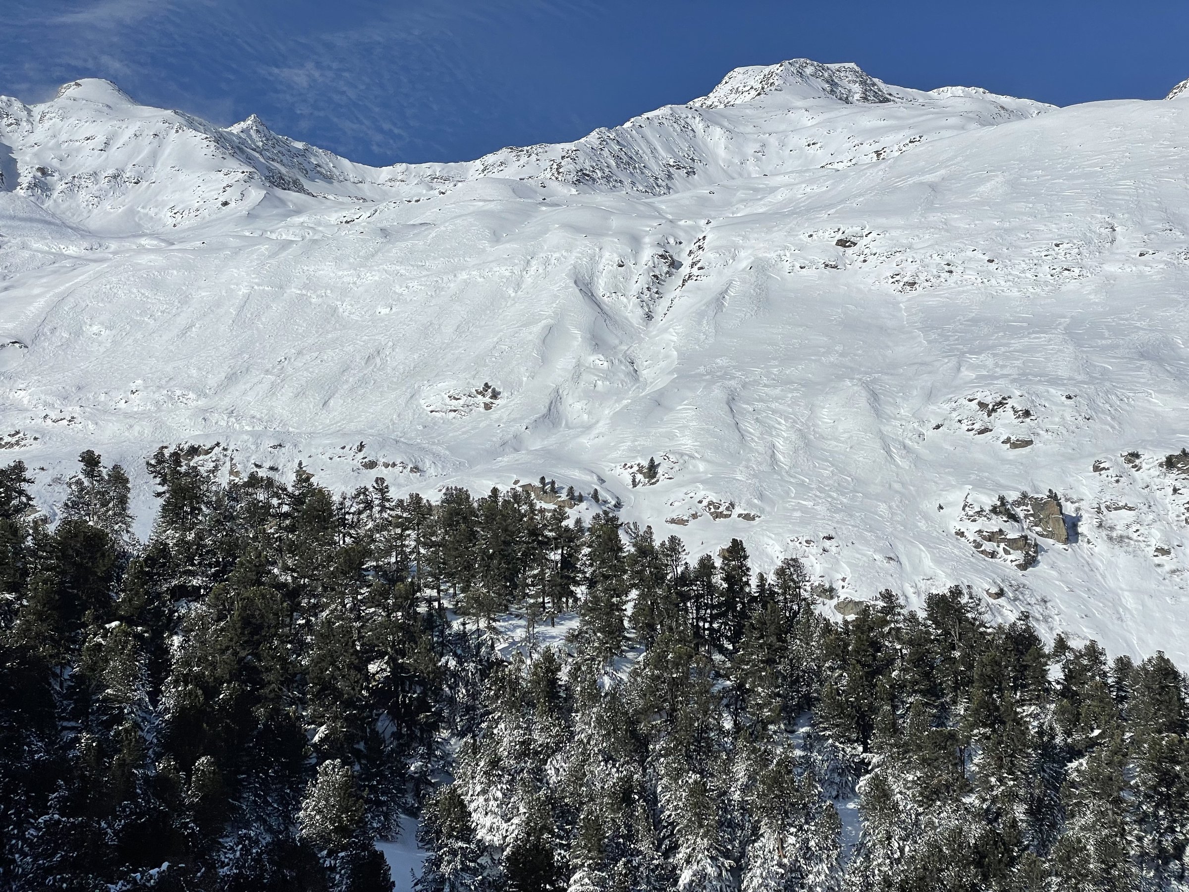
Webcam in diretta
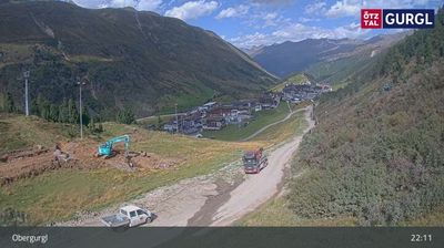
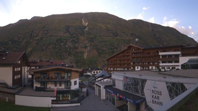
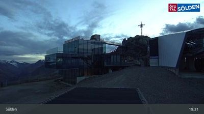
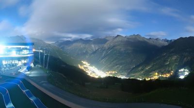
Impianti aperti: 18/25
Bollettino neve
- Ultime 24h (2480 m): 1 cm
- Ultime 72h (2480 m): 5 cm
- Ultimi 7 giorni: Cima (3030 m) 16cm · Mezza montagna (2480 m) 16cm · Valle (1930 m) 14cm
- Totale stagionale (2480 m): 29 cm
Comprensori sciistici aperti ora · Bollettino neve
About Obergurgl
A high-altitude sanctuary for the British elite, prized for its reliable snow cover and sophisticated, low-key luxury.
Highlights
- High-altitude reliability
- British social hub
- Quiet luxury hotels
- Ski-in ski-out ease
Key Facts
- Altitude: 1930m
- Top lift: 3030m
- Ski pistes: 76.8km
- Ski lifts: 25
- Population: 400
- Lakes nearby: 12
- MTB trails: 241km
- Mountain huts: 21
Ski Area
Incluso in questi abbonamenti stagionali
Weather and 10-day forecast for Obergurgl
- Today: -7 to 2 °C, snow, 0 h of sunshine
- Freezing level today: about 2211 m (1990 to 2430 m)
- Snowfall in the last 7 days: 8 cm
| Day | Min / max | Sky | Precipitation | Sunshine |
|---|---|---|---|---|
| dom 22 nov | -7 / 2 °C | snow | 3 cm snow | 0 h sun |
| lun 23 nov | -10 / -3 °C | overcast | 1 cm snow | 2 h sun |
| mar 24 nov | -10 / -3 °C | partly cloudy | 1 cm snow | 4 h sun |
| mer 25 nov | -7 / -2 °C | snow | 8 cm snow | 0 h sun |
| gio 26 nov | -5 / 0 °C | overcast | 2 cm snow | 2 h sun |
| ven 27 nov | -8 / -3 °C | clear sky | dry | 8 h sun |
| sab 28 nov | -7 / -2 °C | clear sky | dry | 9 h sun |
| dom 29 nov | -9 / -2 °C | overcast | dry | 5 h sun |
| lun 30 nov | -11 / -4 °C | mainly clear | dry | 8 h sun |
| mar 1 dic | -11 / -5 °C | snow | 1 cm snow | 7 h sun |
Things to do in Obergurgl
Hikes nearby - Obergurgl (16)
16 curated hiking trails around Obergurgl, sourced from OpenStreetMap and enriched with distance, elevation gain and difficulty.
-
Ötztal Trek Etappe 10
The route climbs from Obergurgl through fragrant pine forests and alpine meadows, with a recommended rest stop at the Hochwildhaus refuge before the final push to the Ramolhaus at 3,001 metres. The terrain is demanding — steep, partly pathless slopes in high-mountain country on the trail of the glacier mummy "Ötzi."
-
Via Alpina Yellow B33
Vent - Zwieselstein
-
Via Alpina Yellow B32
Similaunhütte / Rifugio Similaun - Vent
-
Ötztal Trek Etappe 17
Breslauer Hütte → Braunschweiger Hütte
-
Ötztal Trek Etappe 09
Gh Hochfirst → Brunnenkogelhaus
-
Ötztal Trek Etappe 11
Ramolhaus → Martin-Busch-Hütte
-
Ötztal Trek Etappe 08
Siegerlandhütte → Gh Hochfirst
-
Piccard-Übergang
-
Venter Höhenweg
-
Sonnberg-Höhenweg
-
Via Alpina Yellow B34
Zwieselstein - Braunschweiger Hütte
-
Ötztal Trek Etappe 09a
Brunnenkogelhaus → Sölden
-
Timmelsjoch - Brunnenkogel-Schutzhaus
-
Brunnbergalm - Brunnenkogel-Schutzhaus
-
Windachtal - Brunnenkogel-Schutzhaus
-
Panoramaweg
Mountain bike vicino a Obergurgl
- Bodenegg
- Hochgurgl - Wurmkogel
- Festkogl
- Langtalereckhütte
- Fernar Trail
- Gurgler Achweg
- Fernar Trail (6041) / 28b
- Löple's Trail
Getting to Obergurgl
Door-to-door travel times as used by the MR. ALPS ranking.
- Nearest airport: Innsbruck Airport (INN), 50 km away, about 1h30 by road
- Innsbruck: 1h28 by car, 102 km
- Bolzano - Bozen: 1h30 by car, 95 km
- Trento: 1h59 by car, 146 km
- München: 2h54 by car, 205 km
- Verona: 2h57 by car, 241 km
- Brescia: 3h28 by car, 277 km