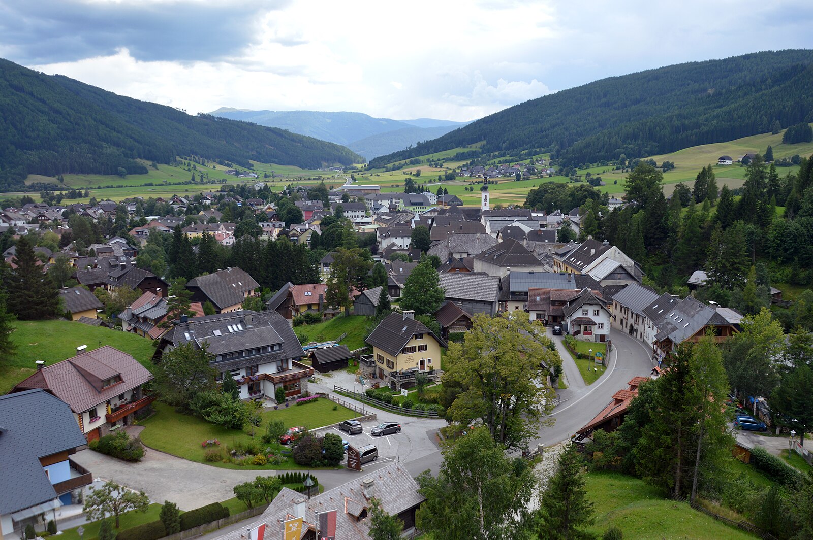
Mauterndorf
Alpi › Tauri di Schladming e di Murau
Webcam in diretta


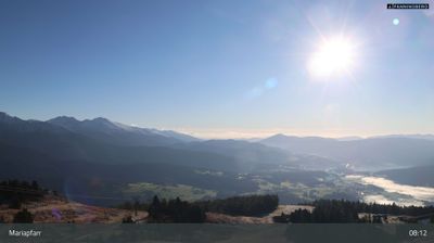
Impianti aperti: 0/10
Bollettino neve
- Ultime 24h (1761 m): 0 cm
- Ultime 72h (1761 m): 3 cm
- Ultimi 7 giorni: Cima (2400 m) 10cm · Mezza montagna (1761 m) 3cm · Valle (1121 m) 0cm
- Totale stagionale (1761 m): 1 cm
Comprensori sciistici aperti ora · Bollettino neve
About Mauterndorf
A medieval stronghold defined by its imposing toll castle and a slower, authentic pace far from the crowded mainstream circuits.
Highlights
- Intact medieval castle
- Historic market town
- Authentic Lungau culture
- Family-centric slopes
Key Facts
- Altitude: 1121m
- Top lift: 2400m
- Ski pistes: 33.6km
- Ski lifts: 10
- Population: 1,591
- Lakes nearby: 23
- MTB trails: 210.9km
- Mountain huts: 12
Ski Area
Incluso in questi abbonamenti stagionali
Weather and 10-day forecast for Mauterndorf
- Today: -4 to 0 °C, overcast, 1 h of sunshine
- Freezing level today: about 1616 m (1480 to 1730 m)
- Snowfall in the last 7 days: 2 cm
| Day | Min / max | Sky | Precipitation | Sunshine |
|---|---|---|---|---|
| dom 22 nov | -4 / 0 °C | overcast | dry | 1 h sun |
| lun 23 nov | -7 / -3 °C | overcast | dry | 4 h sun |
| mar 24 nov | -8 / -2 °C | clear sky | dry | 9 h sun |
| mer 25 nov | -8 / -2 °C | snow | dry | 1 h sun |
| gio 26 nov | -5 / -2 °C | snow | dry | 0 h sun |
| ven 27 nov | -11 / -4 °C | overcast | dry | 2 h sun |
| sab 28 nov | -14 / -1 °C | clear sky | dry | 9 h sun |
| dom 29 nov | -14 / -2 °C | overcast | dry | 3 h sun |
| lun 30 nov | -15 / -2 °C | clear sky | dry | 8 h sun |
| mar 1 dic | -16 / -6 °C | partly cloudy | dry | 7 h sun |
Things to do in Mauterndorf
Hikes nearby - Mauterndorf (20)
20+ curated hiking trails around Mauterndorf, sourced from OpenStreetMap and enriched with distance, elevation gain and difficulty.
-
Wanderweg 745 Ost
-
Wanderweg 41, Trogalm-Rundweg
-
Wanderweg 93, Grubental - Rundwanderweg
-
Wanderweg 94, Speiereck - Bergwanderung
-
Wanderweg 92, Mühlsteig Rundwanderweg
-
Wanderweg 56, Martiniberg Rundwanderweg
-
Wanderweg 91, Hollerberger Rundwanderweg
-
Wanderweg 90, Saumoos - Rundwanderweg
-
Wanderweg 99, St. Michael-Katschberg Rundwanderweg
-
Wanderweg 760
The Fanningberg trail climbs through the eastern slopes of the Schladminger Tauern, a mountain the locals of the Salzburger Lungau have long used for skiing, reaching a high ridge that connects the twin 2.115 m summits of Zechnerriegel and Fanninghöhe. On the descent, walkers can ride the 6er-Samsonbahn gondola back down — though it doesn't run every day in summer.
-
Annakapelle
-
Wanderweg 111
Katschberg-Aineck-Teuerlnock-Bonner Hütte
-
Wanderweg 40, Traning-Rundweg
-
Stampflrundweg
-
Wanderweg 39, Neuseß-Begöriach-Runde
-
Wanderweg 764
-
Wanderweg 765
-
Fanningbergrundweg
-
Gröbendorfrundweg
-
Aiblrundweg
Mountain bike vicino a Mauterndorf
- Gontal-Runde
- Mitterberg-Plus-Runde
- Trogalm-Runde
- Lantschfeld Route
- Fanningberg-Runde
- Lessach-Runde
- Neuseß-Runde
- Hollerberg-Runde
Getting to Mauterndorf
Door-to-door travel times as used by the MR. ALPS ranking.
- Nearest airport: Salzburg Airport (SZG), 89 km away, about 1h25 by road
- Graz: 2h20 by car, 172 km
- München: 2h44 by car, 241 km
- Innsbruck: 3h17 by car, 280 km
- Wien: 3h30 by car, 289 km
- Bolzano - Bozen: 3h50 by car, 261 km
- Padova: 3h55 by car, 368 km
Where to stay in Mauterndorf
383 places to stay for a night on 2026-11-27, from 83 EUR per night, median 163 EUR. Prices are direct with hotels and destinations, compared live on the Mauterndorf page.