Klausberg
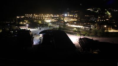
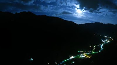
Webcam in diretta



Impianti aperti: 0/11
Bollettino neve
- Ultime 24h (1778 m): 1 cm
- Ultime 72h (1778 m): 3 cm
- Ultimi 7 giorni: Cima (2510 m) 12cm · Mezza montagna (1778 m) 4cm · Valle (1045 m) 1cm
- Totale stagionale (1778 m): 13 cm
Comprensori sciistici aperti ora · Bollettino neve
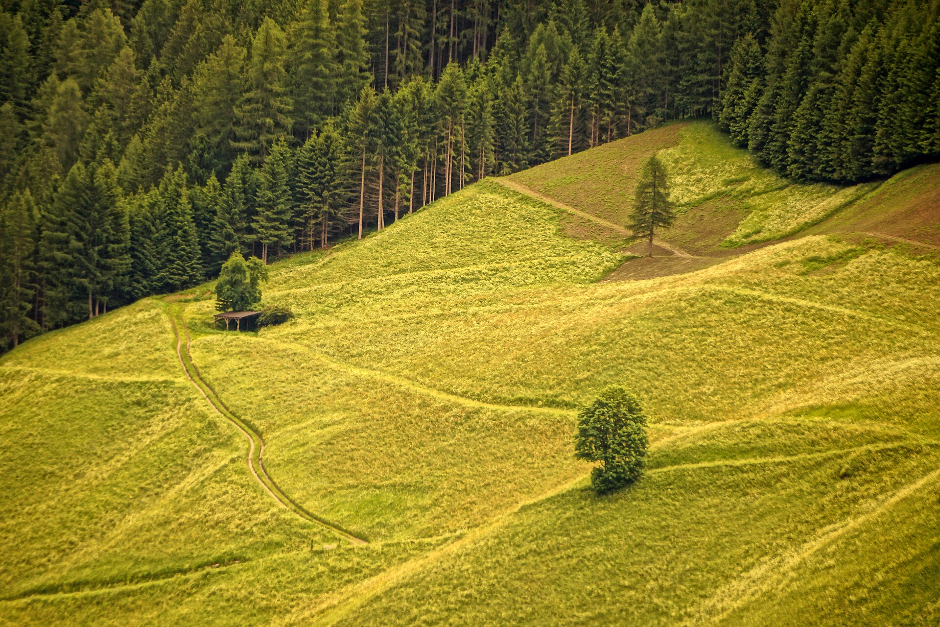
About Klausberg
A family-oriented South Tyrolean gem known for its quirky mountain coasters and a refreshingly unpretentious, local atmosphere.
Highlights
- Alpine coaster runs
- Family-first terrain
- Ladin hospitality
- Sunny valley views
Key Facts
- Altitude: 1045m
- Top lift: 2510m
- Ski pistes: 31.2km
- Ski lifts: 11
- Population: 5,968
- Lakes nearby: 12
- MTB trails: 44km
- Mountain huts: 13
Ski Area
Weather and 10-day forecast for Klausberg
- Today: -3 to 0 °C, snow, 0 h of sunshine
- Freezing level today: about 1668 m (1550 to 1900 m)
- Snowfall in the last 7 days: 6 cm
| Day | Min / max | Sky | Precipitation | Sunshine |
|---|---|---|---|---|
| dom 22 nov | -3 / 0 °C | snow | dry | 0 h sun |
| lun 23 nov | -5 / 0 °C | overcast | dry | 1 h sun |
| mar 24 nov | -8 / -2 °C | clear sky | dry | 9 h sun |
| mer 25 nov | -8 / -2 °C | snow | dry | 0 h sun |
| gio 26 nov | -9 / -1 °C | snow | dry | 1 h sun |
| ven 27 nov | -14 / -3 °C | clear sky | dry | 9 h sun |
| sab 28 nov | -10 / 1 °C | clear sky | dry | 9 h sun |
| dom 29 nov | -9 / 3 °C | overcast | dry | 1 h sun |
| lun 30 nov | -7 / 3 °C | overcast | dry | 2 h sun |
| mar 1 dic | -7 / 1 °C | snow | dry | 0 h sun |
Things to do in Klausberg
Hikes nearby - Klausberg (18)
18 curated hiking trails around Klausberg, sourced from OpenStreetMap and enriched with distance, elevation gain and difficulty.
-
Sunnsatweg
-
Hexensteig
-
Höfeweg
-
Durreck-Höhenweg
A high ridge path surveying three valleys — Ahrn, Tauferer, and Rein — with views stretching across the glaciated crests of the Venedigergruppe and Zillertaler Hauptkamm, and a final reveal of the unmistakable profile of the Hochgall (3436 m) above the Reintal. The traverse of the Pojenkamm demands sure-footedness, with fixed wire-rope protection securing the most exposed sections.
-
Putzweg
-
Höhenweg
-
Durchs Toul
-
Almenrunde
-
Via Alpina Red R33
Ahornach / Acereto - Chemnitzer Hütte / Rifugio G. Porro
-
Berliner Höhenweg Etappe 6
-
Berliner Höhenweg Etappe 5
-
Daimerweg
-
Stabeler Höhenweg
-
Pieterstein
-
Panoramaweg Speikboden
-
Durchs Toul
-
AV Weg 516
-
A.-Hartdegen-Weg
Getting to Klausberg
Door-to-door travel times as used by the MR. ALPS ranking.
- Nearest airport: Innsbruck Airport (INN), 56 km away, about 2h20 by road
- Bolzano - Bozen: 1h37 by car, 101 km
- Innsbruck: 2h06 by car, 133 km
- Trento: 2h08 by car, 157 km
- Verona: 3h06 by car, 252 km
- Brescia: 3h36 by car, 288 km
- Padova: 3h36 by car, 264 km
Where to stay in Klausberg
177 places to stay for a night on 2026-11-27, from 94 EUR per night, median 203 EUR. Prices are direct with hotels and destinations, compared live on the Klausberg page.