Chamonix - Aiguille du Midi
Alpi › Alpi Graie › Massiccio del Monte Bianco
Webcam in diretta
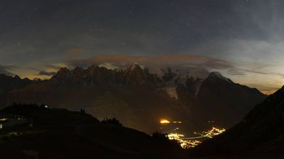
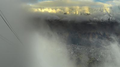

Impianti aperti: 0/18
Bollettino neve
- Ultime 24h (2409 m): 13 cm
- Ultime 72h (2409 m): 49 cm
- Ultimi 7 giorni: Cima (3777 m) 50cm · Mezza montagna (2409 m) 119cm · Valle (1041 m) 0cm
- Totale stagionale (2409 m): 202 cm
Comprensori sciistici aperti ora · Bollettino neve
About Chamonix - Aiguille du Midi
A historic Haute-Savoie town in the western Alps, sitting at an altitude of 1,041m. During the shoulder season, the technical terrain clears and the valley floor offers quiet access to the Mont Blanc Unlimited circuit.
Highlights
- Mont Blanc access
- Extreme skiing
- Alpinism heritage
- Year-round glacier
- Extreme off-piste terrain
- Alpinism mecca
- Mountaineering mecca
- High-altitude mountaineering
- Legendary après-ski culture
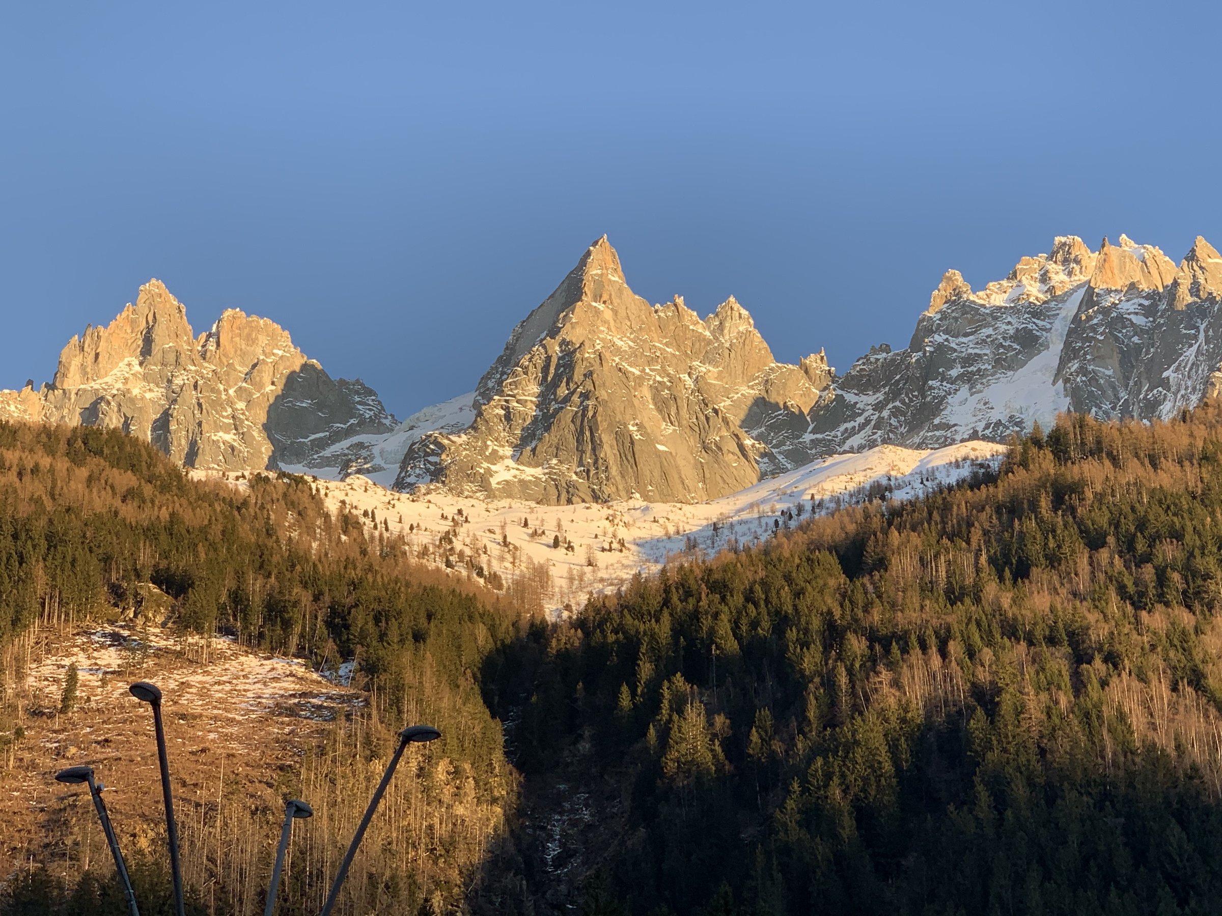
- Granite peak skyline
Key Facts
- Altitude: 1041m
- Top lift: 3777m
- Ski pistes: 105km
- Ski lifts: 2
- Population: 8,673
- 4000m+ peaks nearby: 28
- Lakes nearby: 12
- MTB trails: 164.5km
- Mountain huts: 44
Ski Area
Incluso in questi abbonamenti stagionali
Weather and 10-day forecast for Chamonix - Aiguille du Midi
- Today: 2 to 6 °C, rain showers, 0 h of sunshine
- Freezing level today: about 2298 m (2110 to 2720 m)
| Day | Min / max | Sky | Precipitation | Sunshine |
|---|---|---|---|---|
| dom 22 nov | 2 / 6 °C | rain showers | 71 mm rain | 0 h sun |
| lun 23 nov | -1 / 3 °C | snow showers | 0 cm snow | 0 h sun |
| mar 24 nov | -2 / 4 °C | overcast | 1 mm rain | 1 h sun |
| mer 25 nov | 1 / 4 °C | rain | 3 mm rain | 0 h sun |
| gio 26 nov | 1 / 3 °C | overcast | 2 cm snow | 2 h sun |
| ven 27 nov | -3 / 4 °C | clear sky | dry | 8 h sun |
| sab 28 nov | 3 / 10 °C | mainly clear | dry | 6 h sun |
| dom 29 nov | -4 / 8 °C | rain | 0 mm rain | 5 h sun |
| lun 30 nov | -7 / 5 °C | overcast | dry | 9 h sun |
| mar 1 dic | -7 / 6 °C | overcast | dry | 8 h sun |
Things to do in Chamonix - Aiguille du Midi
Hikes nearby - Chamonix - Aiguille du Midi (19)
19 curated hiking trails around Chamonix - Aiguille du Midi, sourced from OpenStreetMap and enriched with distance, elevation gain and difficulty.
-
Abstieg Berghotel Montenvers nach Chamonix, Parkplatz Las Planards
-
Aufstieg Berghotel Montenvers von Chamonix, Parkplatz Las Planards
-
Sentier des Gardes
A tight forest singletrack loop on the hillside above Chamonix, the Sentier des Gardes threads through mostly smooth but root- and pinecone-strewn terrain, passing through silence broken only by the occasional sound of a garbage truck in the town below. The route traverses exposed forest singletrack all the way to Plan Lachat before descending back to the start of the Chamonix Vertical Kilometer course.
-
Chalet des Pyramides
Ripidi tornanti — occasionalmente rinforzati con catene metalliche, ringhiere e scalini — salgono attraverso una fitta foresta prima di aprirsi allo scoperto, dove il Glacier des Bossons riempie un orizzonte e il Glacier de Taconnaz con il Mont Blanc domina l'altro. Il sentiero termina a uno snack bar arroccato a 1.895 metri, con vista diretta sul Glacier des Bossons.
-
Plan de l'Aiguille - Montenvers
A balcony path threading beneath the sheer foothills of the Aiguilles de Chamonix, the route links Montenvers (1913 m) to Plan de l'Aiguille (2310 m) through a wild, mineral landscape while keeping Mont Blanc (4808 m) in view. Along the way, the panorama swings from the Mer de Glace and the Drus (3754 m) to the Grandes Jorasses (4208 m), with the perspective shifting abruptly as you cross from the glacier side to the Aiguilles — Charmoz, Blaitière, le Plan, l'Aiguille du Midi — and back again.
-
Rocher des Mottets - Montenvers
The route climbs through forest and switchbacks to a dramatic viewpoint above red rocks, with a splendid outlook over the Aiguilles des Drus and the Mer de Glace below. The path follows a corridor carved out in 1968 as a Vallée Blanche exit, passing the couloir d'Orthaz — where falling rocks are a live concern — before breaking out of the trees onto those vivid crimson crags.
-
Petit Balcon Sud
Mostly forested and hugging the southern aspect of the Chamonix valley at around 1,200–1,300m, the Petit Balcon Sud traces a low-altitude path from Les Houches all the way to Argentière. It presents very little difficulty and is considered an ideal choice even on rainy days.
-
Lac Cornu
path nr.16 from Rother Wanderführer, Mont Blanc. Duration 3.3 hours
-
GaB_TMB_S01
This route climbs from Chamonix-Sud at 1,033 m to the Plan de l'Aiguille at 2,314 m, then continues via cable car across the Glacier des Pèlerins to the Aiguille du Midi at 3,791 m — the highest of the Chamonix needles — where a terrace delivers the closest view of Mont Blanc without climbing it.
-
Chemin du Montenvers
The Chemin du Montenvers traces the Grand Balcon Nord, a high traverse delivering unbroken panoramic views of Mont Blanc, the Chamonix Aiguilles, the Aiguilles Rouges, Le Brévent, and the Chamonix Valley. The route ends at Montenvers, where the high peaks tower above the Mer de Glace glacier.
-
Lacs Noirs
Partendo dalla cima della telecabina di Planpraz, questo percorso attraverso la Réserve Naturelle des Aiguilles Rouges sale attraverso sezioni ripide e nevai per raggiungere i Lacs Noirs a 2.540 m e il Lac Cornu a 2.276 m. Per tutto il tragitto, lo sguardo è attratto verso la valle di Chamonix-Mont-Blanc e i ghiacciai del massiccio del Mont-Blanc — dove il ritiro del ghiaccio è chiaramente visibile.
-
Aiguillette des Houches
A panoramic loop through the Carlaveyron nature reserve, the Aiguillette des Houches delivers sweeping views of the Mont Blanc massif, the Aiguilles Rouges, the Fiz, and the wet meadows of Carlaveyron. The ascent winds through the Chailloux mountain pastures directly opposite the Bossons glacier, described as Europe's largest.
-
Chalet du Chapeau
path nr.7 from Rother Wanderführer, Mont Blanc
-
Chemin des Villages
The Chemin des Villages threads through Les Houches by way of named lanes — Chemin des Longues, Chemin de la Tannuaz, Chemin des Fleurs, and Chemin Théobalde Couttet — crossing the village via a footbridge rather than the expressway, open to both walkers and cyclists.
-
Tour du Mont Blanc - Variante du Tour
-
Mont Buet
path nr.12 from Rother Wanderführer, Mont Blanc
-
Balade du Plateau d'Assy au Lac Vert
-
Boucle de Pormenaz
-
Chemin des Diligences
Aperto nel 1792, questo storico sentiero percorre l'antica via delle carrozze che collega Martigny e Chamonix attraverso il Col des Montets, snodandosi tra gli autentici borghi di Vallorcine dove le tradizioni locali sono state fedelmente mantenute in vita.
Mountain bike vicino a Chamonix - Aiguille du Midi
- Des Houches à Chamonix
- De Chamonix aux Houches
- Enduro Planpraz
- Les Cerfs
- Les Marmottes
- Promenade des Bourses
- Randonnée à Planpraz depuis Chamonix
- Charlanon
Girato qui
- Kaizen (2024)
- Les Têtes givrées (2023)
- The Chalet (2018)
- Crime Is Our Business (2008)
- The World Is Not Enough (1999)
- The Mountain (1956)
- Storm over Mont Blanc (1930)
Libri ambientati qui
- Eiger Dreams (1990)
- 青春を山に賭けて (1971)
- La Grande Crevasse (1948)
- Primo in cordata (1941)
- Tartarin sur les Alpes (1885)
- A Tramp Abroad (1880)
- Frankenstein o il moderno Prometeo (1818)
Getting to Chamonix - Aiguille du Midi
Door-to-door travel times as used by the MR. ALPS ranking.
- Nearest airport: Geneva International Airport (GVA), 68 km away, about 1h23 by road
- Genève: 1h05 by car, 83 km
- Annecy: 1h14 by car, 95 km
- Chambéry: 1h39 by car, 139 km
- Lausanne: 1h40 by car, 116 km
- Grenoble: 2h08 by car, 150 km
- Bern: 2h17 by car, 173 km
Where to stay in Chamonix - Aiguille du Midi
411 places to stay for a night on 2026-11-27, from 93 EUR per night, median 220 EUR. Prices are direct with hotels and destinations, compared live on the Chamonix - Aiguille du Midi page.