Arabba-Marmolada
Alpi › Dolomiti › Northwest Dolomites
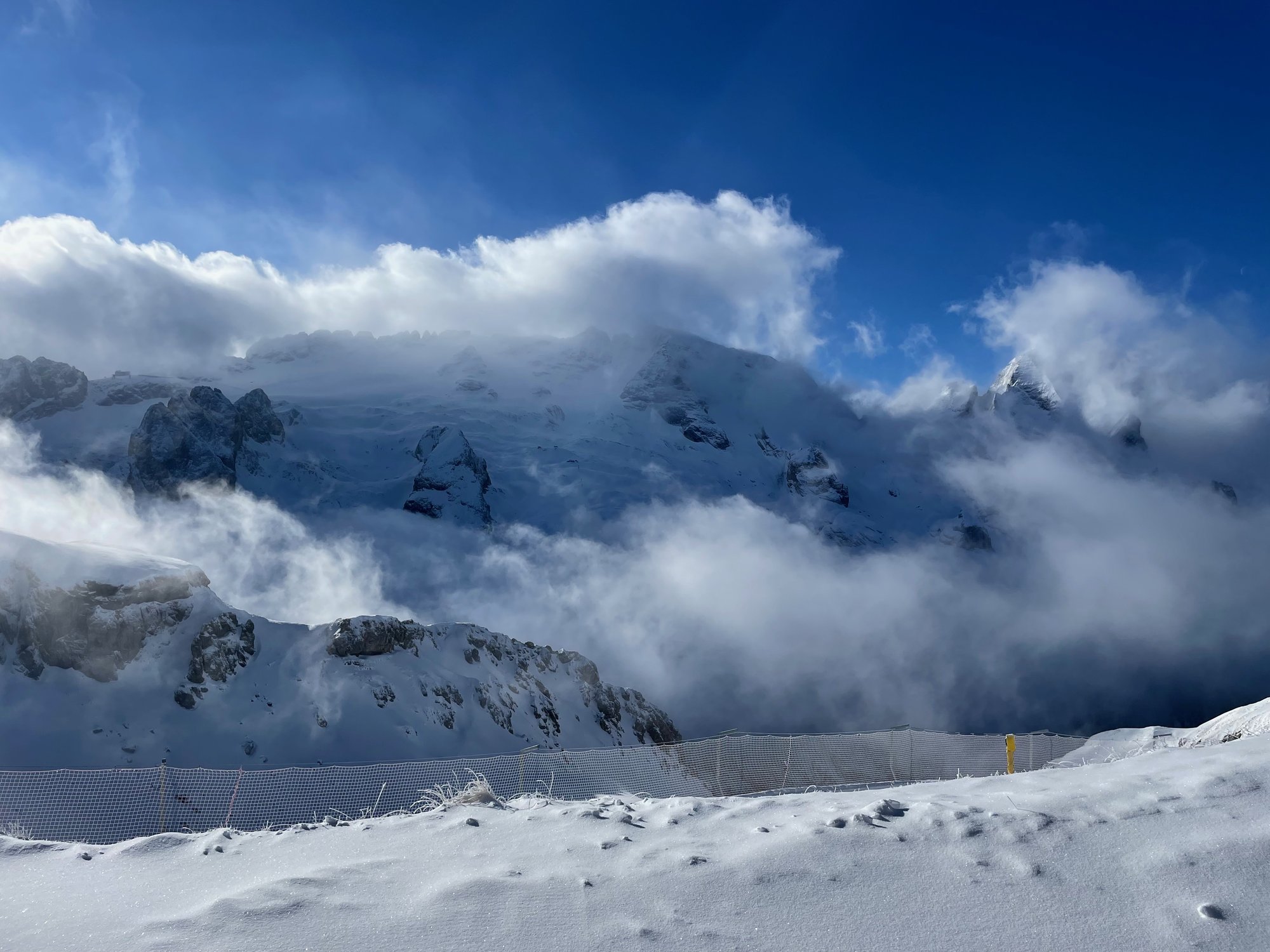
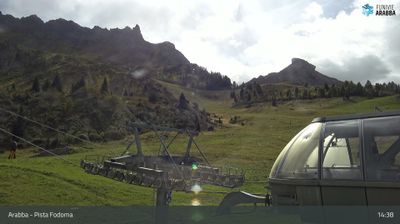
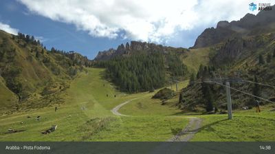
Webcam in diretta

Bollettino neve
- Ultime 24h (2438 m): 0 cm
- Ultime 72h (2438 m): 9 cm
- Ultimi 7 giorni: Cima (3269 m) 10cm · Mezza montagna (2438 m) 9cm · Valle (1606 m) 0cm
- Totale stagionale (2438 m): 6 cm
Comprensori sciistici aperti ora · Bollettino neve
About Arabba-Marmolada
A high-altitude, authentic village situated at 1,606m within the Dolomiti Bellunesi National Park. During the shoulder seasons, the village reverts to its quiet historic roots, while winter provides direct access to the 350km Sella Ronda circuit via the Dolomiti Superski pass.
Highlights
- Steep technical terrain
- High-altitude glacier runs
- Sella Ronda access
- Understated mountain grit
Key Facts
- Altitude: 1606m
- Top lift: 3269m
- Ski pistes: 430.1km
- Ski lifts: 156
- Population: 275
- Lakes nearby: 6
- MTB trails: 220.4km
- Mountain huts: 75
Ski Area
Dolomiti Superski – Alta Badia/Arabba-Marmolada/Val Gardena-Gröden/Canazei
Incluso in questi abbonamenti stagionali
Weather and 10-day forecast for Arabba-Marmolada
- Today: -6 to -3 °C, snow, 0 h of sunshine
- Freezing level today: about 2127 m (1980 to 2210 m)
- Snowfall in the last 7 days: 12 cm
| Day | Min / max | Sky | Precipitation | Sunshine |
|---|---|---|---|---|
| dom 22 nov | -6 / -3 °C | snow | dry | 0 h sun |
| lun 23 nov | -8 / -5 °C | overcast | dry | 3 h sun |
| mar 24 nov | -9 / -4 °C | clear sky | dry | 7 h sun |
| mer 25 nov | -8 / -4 °C | snow | dry | 0 h sun |
| gio 26 nov | -9 / -5 °C | snow | dry | 0 h sun |
| ven 27 nov | -12 / -7 °C | overcast | dry | 2 h sun |
| sab 28 nov | -12 / -3 °C | clear sky | dry | 9 h sun |
| dom 29 nov | -12 / -3 °C | overcast | dry | 3 h sun |
| lun 30 nov | -13 / -4 °C | partly cloudy | dry | 3 h sun |
| mar 1 dic | -14 / -7 °C | partly cloudy | dry | 4 h sun |
Things to do in Arabba-Marmolada
Hikes nearby - Arabba-Marmolada (20)
20+ curated hiking trails around Arabba-Marmolada, sourced from OpenStreetMap and enriched with distance, elevation gain and difficulty.
-
Sentiero del Respiro
-
Der Bindelweg2
-
Kleiner Lagazuoi
-
Via ferrata di Forcella Marmolada
-
Viel del Pan
Percorrendo i versanti meridionali della catena del Padon, questo sentiero storico era un tempo battuto dai mercanti di farina che trasportavano merci tra le valli, e oggi offre viste frontali senza pari sulla Marmolada (3.343 m) insieme a panorami spettacolari sui gruppi del Sassolungo e del Sella. Il percorso si snoda dal Passo Pordoi — il passo che collega il Val di Fassa con Arabba — fino al glaciale Lago di Fedaia.
-
Sentiero della Val Lastìes
-
Via Alpina Yellow B21
Pieve di Livinallongo - Passo Pordoi
-
Via Alpina Yellow B22
Passo Pordoi - Rifugio Contrin
-
Dolomites World Heritage Geotrail 42
-
Dolomites World Heritage Geotrail 43
-
Alta via n. 9 delle Dolomiti - Dolomiten-Höhenweg Nr. 9
Unlike most Dolomite long-distance routes, this trail runs as a transversal from west to east — from Bolzano through South Tyrol and into the province of Belluno — cutting across the ridge systems that otherwise rise north to south. The route passes landmarks including the Rosengarten and the Tre Cime di Lavaredo, reaching a high point above 3.100 m.
-
Tru di Iagri
-
Lichtenfelser Weg
-
Via dei Rusci
-
Sentiero delle Creste
-
Dolomites World Heritage Geotrail 12
-
Dolomites World Heritage Geotrail 41
-
Dolomites World Heritage Geotrail 40
-
Laste Ciaspamoon
-
Col Pelous
Mountain bike vicino a Arabba-Marmolada
- MTB Sella Ronda ACW
- Pordoi-Burz
- Porta Vescovo
- Bec de Roces
Getting to Arabba-Marmolada
Door-to-door travel times as used by the MR. ALPS ranking.
- Nearest airport: Venice Marco Polo Airport (VCE), 116 km away, about 2h31 by road
- Bolzano - Bozen: 1h27 by car, 75 km
- Trento: 2h by car, 132 km
- Innsbruck: 2h14 by car, 144 km
- Padova: 2h37 by car, 196 km
- Verona: 2h57 by car, 227 km
- Brescia: 3h28 by car, 262 km
Where to stay in Arabba-Marmolada
479 places to stay for a night on 2026-11-27, from 137 EUR per night, median 3594 EUR. Prices are direct with hotels and destinations, compared live on the Arabba-Marmolada page.