Admont
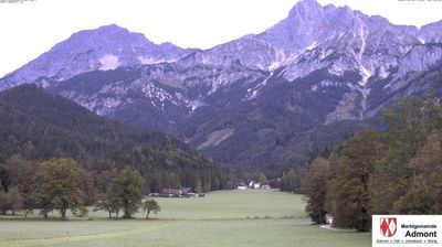
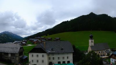
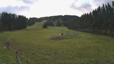
Webcam in diretta

Impianti aperti: 0/5
Bollettino neve
- Ultime 24h (1255 m): 0 cm
- Ultime 72h (1255 m): 0 cm
- Ultimi 7 giorni: Cima (1370 m) 0cm · Mezza montagna (1255 m) 0cm · Valle (1140 m) 0cm
- Totale stagionale (1255 m): 0 cm
Comprensori sciistici aperti ora · Bollettino neve
About Admont
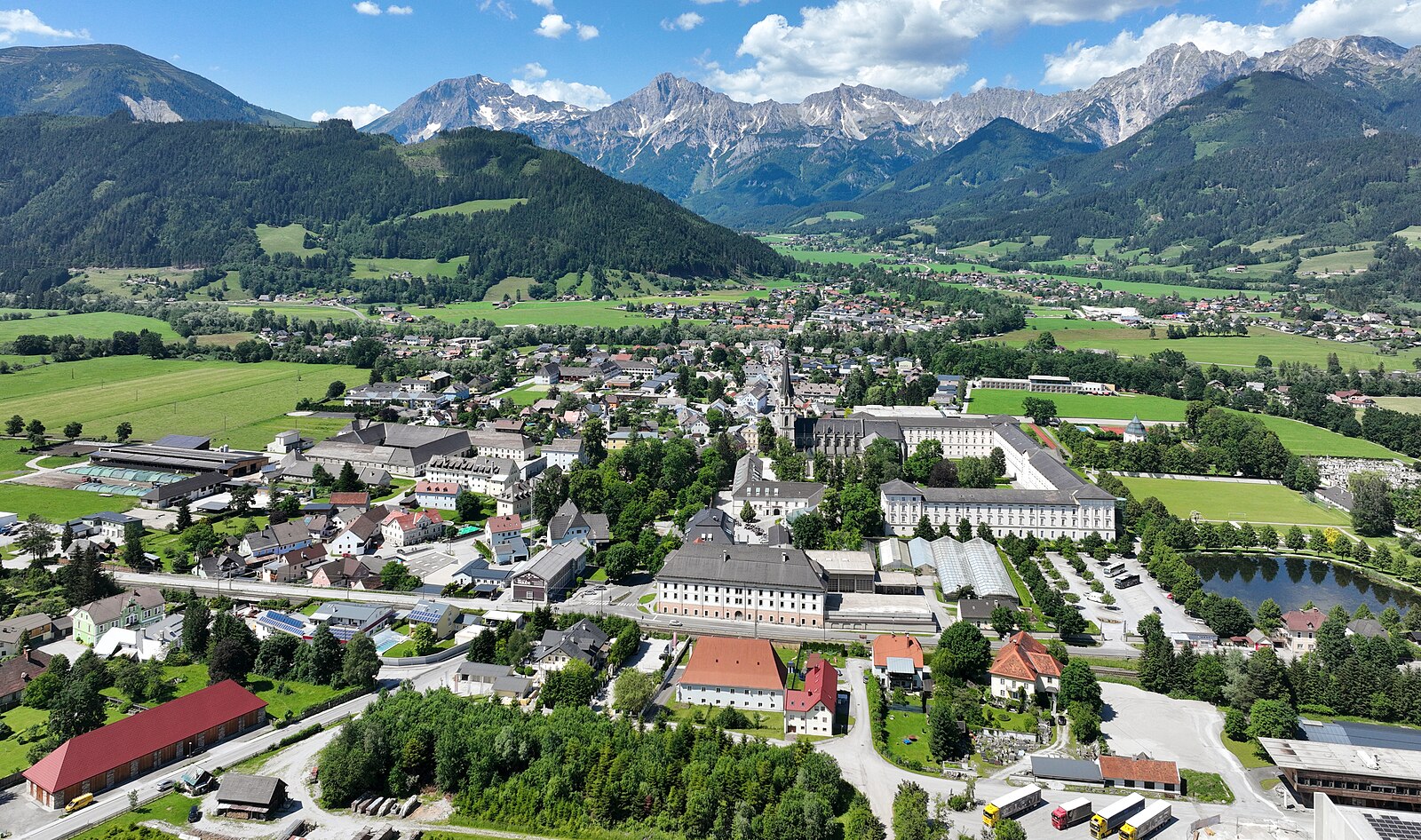
Home to the world’s largest monastic library, this Styrian gem pairs Baroque grandeur with the raw, jagged peaks of the Gesäuse.
Highlights
- Baroque monastic library
- Dramatic limestone peaks
- Benedictine heritage
- Wild river rafting
Key Facts
- Altitude: 1140m
- Top lift: 1370m
- Ski pistes: 4.8km
- Ski lifts: 5
- Lakes nearby: 11
- MTB trails: 6.3km
- Mountain huts: 29
Ski Area
Incluso in questi abbonamenti stagionali
Weather and 10-day forecast for Admont
- Today: -2 to 2 °C, overcast, 1 h of sunshine
- Freezing level today: about 1478 m (1160 to 1820 m)
- Snowfall in the last 7 days: 4 cm
| Day | Min / max | Sky | Precipitation | Sunshine |
|---|---|---|---|---|
| dom 22 nov | -2 / 2 °C | overcast | dry | 1 h sun |
| lun 23 nov | -6 / -2 °C | snow | dry | 1 h sun |
| mar 24 nov | -6 / -2 °C | clear sky | dry | 9 h sun |
| mer 25 nov | -4 / 5 °C | partly cloudy | dry | 3 h sun |
| gio 26 nov | -8 / 1 °C | snow | dry | 0 h sun |
| ven 27 nov | -9 / -2 °C | overcast | dry | 1 h sun |
| sab 28 nov | -8 / 1 °C | clear sky | dry | 9 h sun |
| dom 29 nov | -12 / 2 °C | partly cloudy | dry | 4 h sun |
| lun 30 nov | -13 / 2 °C | clear sky | dry | 9 h sun |
| mar 1 dic | -15 / -1 °C | partly cloudy | dry | 7 h sun |
Things to do in Admont
Hikes nearby - Admont (19)
19 curated hiking trails around Admont, sourced from OpenStreetMap and enriched with distance, elevation gain and difficulty.
-
Wanderweg 653
Admont – Lichtmeßbach – Gh. Nagelschmiede
-
Wanderweg 654
Gh. Nagelschmiede – Schloß Kaiserau – Kote 1212 – Oberst-Klinke-Hütte
-
Wanderweg 655
Oberst-Klinke-Hütte – Kalblinggatterl – Kalbling
-
Via Alpina Purple A24
-
Wanderweg 01A
Oberst-Klinke-Hütte – Kalblinggatterl – Kote 2106 – Riffel – Scheiblegger Hochalm – Kematengraben – Kematen – einmd. Weg 01
-
Wanderweg 653
Gh. Nagelschmiede – Eggeralm – Dietmannsdorf – Trieben/Bhf.
-
Luchs Trail Etappe 4
-
Wanderweg 601
NONE (The excerpt describes a trail in Spital am Pyhrn, Upper Austria — not Wanderweg 601 in Stall, Carinthia, Austria. No usable facts about the correct trail are present.)
-
Wanderweg 601
Abschnitt Nordalpenweg: Kalblinggatterl – Oberst-Klinke-Hütte – Sieglalm – Kematen – Admont – Oberhall – Zirnitz – Mühlau – Kote 963 – Gstattmaier – Rohrauerhaus
-
Luchs Trail Etappe 5
-
Wanderweg 672
Mödlingerhütte - Treffnersee - Heldenkreuz
-
Wanderweg 651
Admont - Dürrenschöberl - Selzthal
-
Zentralalpenweg 02A Variante Hohentauern
-
Wanderweg 671
Gaishorn/Bhf. - Weidalm - Treffneralm - Mödlingerhütte
-
Wanderweg 944a
Rottenmanner Hütte – Hirschriedl – Singsdorferalm – einmd. Weg 944 bei Hochhaide
-
Triebensteinumrundung
-
Pilgerweg der Weltreligionen
-
Schauplätze
-
Der wilde John - Sagenweg
Mountain bike vicino a Admont
- Karl Martin-Weg
Getting to Admont
Door-to-door travel times as used by the MR. ALPS ranking.
- Nearest airport: Graz Airport (GRZ), 94 km away, about 1h32 by road
- Graz: 1h26 by car, 104 km
- Wien: 2h37 by car, 221 km
- München: 3h40 by car, 315 km
- Innsbruck: 4h18 by car, 340 km
- Nürnberg: 4h22 by car, 410 km
- Padova: 5h19 by car, 444 km
Where to stay in Admont
18 places to stay for a night on 2026-11-27, from 88 EUR per night, median 92 EUR. Prices are direct with hotels and destinations, compared live on the Admont page.