El Chalten
Cordillère des Andes › Cordillère de Patagonie › Cordillère de Patagonie australe
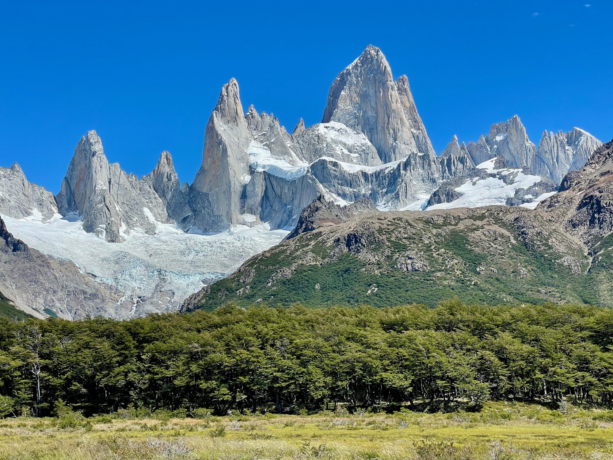
About El Chalten
El Chalten sits at an altitude of 405m in Santa Cruz, Argentina. It serves as a starting point for 7 marked hiking trails, with rock climbing in the surrounding area.
Key Facts
- Altitude: 405m
Weather and 9-day forecast for El Chalten
- Today: 8 to 15 °C, mainly clear, 11 h of sunshine
- Freezing level today: about 1875 m (1770 to 2030 m)
| Day | Min / max | Sky | Precipitation | Sunshine |
|---|---|---|---|---|
| ven. 20 nov. | 8 / 15 °C | mainly clear | dry | 11 h sun |
| sam. 21 nov. | 5 / 12 °C | partly cloudy | 0 mm rain | 9 h sun |
| dim. 22 nov. | 6 / 13 °C | partly cloudy | 1 mm rain | 7 h sun |
| lun. 23 nov. | 5 / 11 °C | drizzle | 4 mm rain | 1 h sun |
| mar. 24 nov. | 5 / 10 °C | drizzle | 4 mm rain | 1 h sun |
| mer. 25 nov. | 4 / 13 °C | overcast | dry | 4 h sun |
| jeu. 26 nov. | 8 / 14 °C | overcast | dry | 2 h sun |
| ven. 27 nov. | 9 / 14 °C | drizzle | 0 mm rain | 14 h sun |
| sam. 28 nov. | 7 / 17 °C | drizzle | 0 mm rain | 15 h sun |
Things to do in El Chalten
Hikes nearby - El Chalten (5)
5 curated hiking trails around El Chalten, sourced from OpenStreetMap and enriched with distance, elevation gain and difficulty.
-
Senda Laguna Torre
-
Senda Madre e Hija
-
Senda Loma del Pliegue Tumbado
-
Sendero Laguna de los Tres
-
Sendero El Pilar - Rio Blanco
Tourné ici
- The Alpinist (2021)
- Cerro Torre: A Snowball's Chance in Hell (2013)
- To the Limit (2007)
Getting to El Chalten
Door-to-door travel times as used by the MR. ALPS ranking.
- Nearest airport: El Calafate - Commander Armando Tola International Airport (FTE), 121 km away, about 3h41 by road
Where to stay in El Chalten
176 places to stay for a night on 2026-11-27, from 111 EUR per night, median 206 EUR. Prices are direct with hotels and destinations, compared live on the El Chalten page.