Raise
About Raise
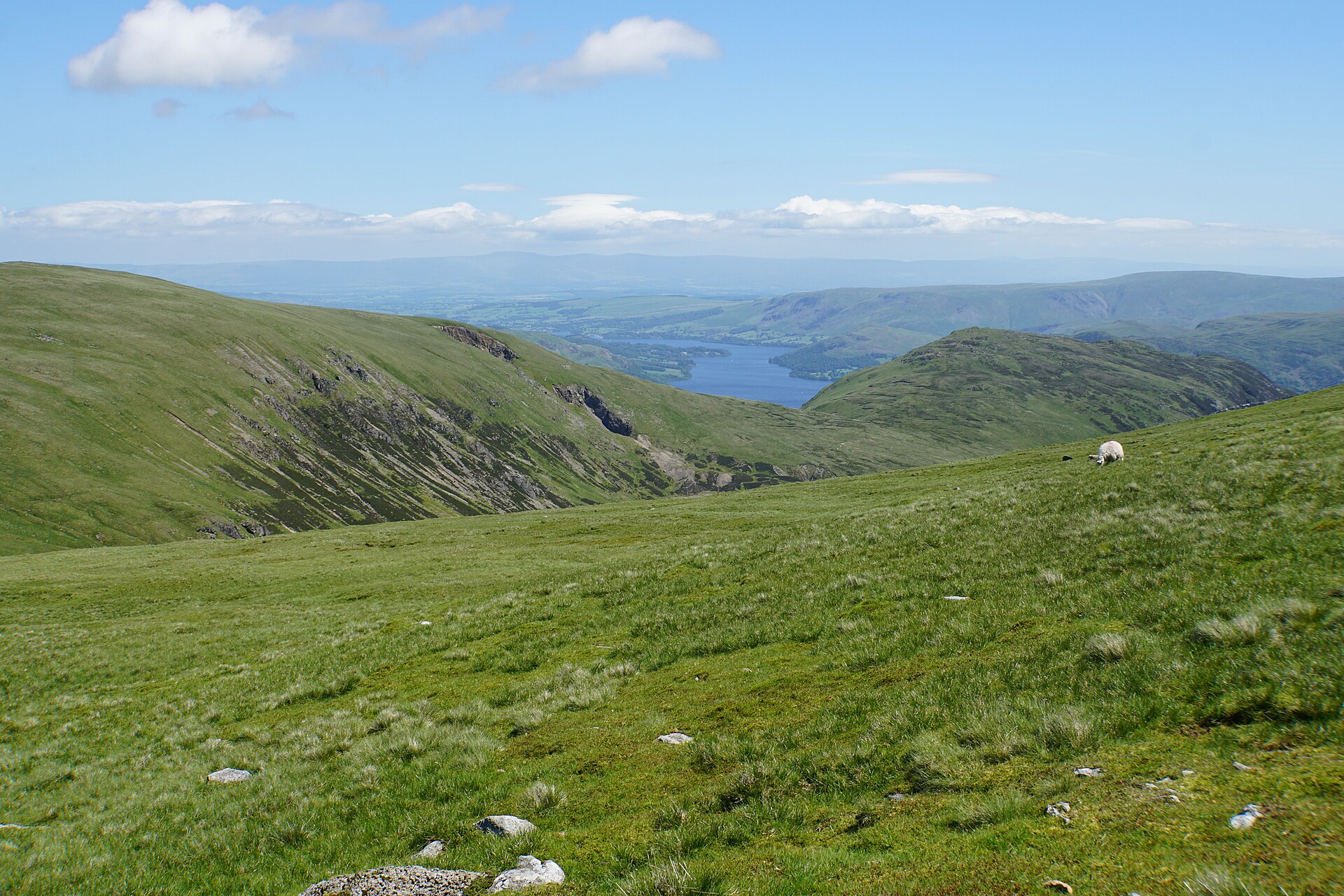
A rugged, high-altitude outpost in the Lake District, known for its raw wilderness and England's only true lift-serviced mountain terrain.
Highlights
- Wild fell running
- Backcountry ski heritage
- Remote mountain scenery
- Challenging hiking trails
Key Facts
- Altitude: 726m
- Ski lifts: 1
- Lakes nearby: 29
- MTB trails: 12km
- Mountain huts: 9
Ski Area
Weather and 10-day forecast for Raise
- Today: 8 to 10 °C, clear sky, 6 h of sunshine
- Freezing level today: about 2045 m (1810 to 2290 m)
| Day | Min / max | Sky | Precipitation | Sunshine |
|---|---|---|---|---|
| jeu. 1 oct. | 8 / 10 °C | clear sky | dry | 6 h sun |
| ven. 2 oct. | 8 / 11 °C | rain | dry | 0 h sun |
| sam. 3 oct. | 4 / 11 °C | partly cloudy | dry | 5 h sun |
| dim. 4 oct. | 4 / 12 °C | drizzle | dry | 1 h sun |
| lun. 5 oct. | 9 / 12 °C | drizzle | dry | 0 h sun |
| mar. 6 oct. | 5 / 12 °C | rain | dry | 6 h sun |
| mer. 7 oct. | 3 / 7 °C | drizzle | dry | 1 h sun |
| jeu. 8 oct. | 2 / 7 °C | clear sky | dry | 11 h sun |
| ven. 9 oct. | 3 / 9 °C | rain | dry | 10 h sun |
| sam. 10 oct. | 3 / 6 °C | drizzle | dry | 7 h sun |
Things to do in Raise
Hikes nearby — Raise (18)
18 curated hiking trails around Raise, sourced from OpenStreetMap and enriched with distance, elevation gain and difficulty.
-
Coast to Coast Walk (St Bees to Shap)
-
Cumbria Way
-
Aira Force Glencoyne Farm Trail, Ullswater Valley
Glencoyne is one of the largest tenanted hill farms in the Lake District. Pass through Grade II listed buildings, industrial artifacts, fells, grazing livestock, rich woodland where red squirrels are seen & views of Ullswater. Steep, gravel & boggy.
-
Aira Force to Glencoyne Trail, Ullswater Valley
A linear route from Aira Force to Glencoyne along the edge of Ullswater with views of the lake & fells. Blue Badge parking & a disabled toilet at the trail head. Includes up & downhill paths, steep climbs, steps & drop offs. Path narrows to 70cm.
-
Aira Force and Gowbarrow Park Trail, Ullswater Valley
Experience Aira Force at its best as you head towards the waterfalls. Pass through woodland with lush green ferns & evergreens and emerge from the confines of the gorge to enjoy expansive views over Ullswater from the summit of Gowbarrow.
-
Walla Crag to Ashness Bridge walk, North Lakes Outdoors
Through valleys, over streams & up to spectacular viewpoints, the landscape here near Derwent Water, the ‘Jewel of the Lake District’ is magnificent in every season. Enjoy the timeless beauty of Ashness Bridge, the lake & Skiddaw as a backdrop.
-
Rosthwaite Round, Fells, Tarn and Beck Walk, North Lakes Outdoors
This favourite walk of National Trust rangers will take you to a Borrowdale gem, the hamlet of Watendlath. Along the way, you'll discover oak woodland, two tarns (mountain ponds) and stunning Lakeland views.
-
Lakeside Amble, North Lakes Outdoors
-
Hartsop to Hayeswater Gill Trail, Ullswater Valley
From Hartsop village, follow Hayeswater Gill up to the reservoir (which once fed into north-west England's water supply) on a circular walk surrounded by towering Lake District fells. Discover local mining and milling history as you go. Some steep climbs.
-
Accessible walk to Broomhill Point, North Lakes Outdoors
A stile-free out & back along Derwent Water to Broomhill Point. Views of Cat Bells & Causey Pike. Choice at Strandshag bay; a smooth compact surface or nearer the lake with boulders, tree roots & mud. One 16% gradient on bumpy surface & 2m wide boardwalk
-
Peace How Walk From High Brandelhow Jetty, North Lakes Outdoors
A gentle walk with time & space to reflect. Peace How looks over Derwent Water to the north, & Castle Crag – a WW1 memorial fell – to the south. It was gifted to NT in 1917, so that anyone affected by the WW1 could come & experience peace & tranquility.
-
Downstream to Derwent Walk, Borrowdale and Derwent Water
Can catch the Honister Rambler bus back to the car park, note that this service only runs seasonally. Steady downhill walk, there is a steep, rocky section with a chain to hold for support. It can get very slippery in wet weather.
-
Borger Dalr Geology Walk, North Lakes Outdoors
Explore the origins of Borrowdale as you walk from Bowder Stone car park to Castle Crag, including the poignant war memorial Peace Howe, and amazing views of the flat valley bed that was formerly the bottom of an Ice Age lake. A steep but gradual climb.
-
Octavia Hill walk at Brandelhow Park, Derwent Water, North Lakes Outdoors
An easy lakeside amble along the quiet side of Derwent Water, leading you on a circular route through the tranquil parkland at Brandelhow, birthplace of the National Trust in the Lake District. Low-level lakeside and woodland paths.
-
Grasmere Village to Allan Bank Loop, Grasmere Great Langdale
A circular from Grasmere to Allan Bank along the river, through historic parkland, with views of the fells. A short route but it does have a stretch of 49yd (45m) where the gradient is between 20 and 23%. This forms part of a 85yd (78m) uphill section.
-
Coast to Coast Walk
-
Alcock Tarn Walk, Grasmere Great Langdale
Starting in the lakeside village of Grasmere, this circular climbs to a small tarn, a beautiful place to have lunch. Winding through trees to views of the valley, lakes & surrounding fells, take in history from miners & coffin-bearers. Steep in places.
-
Castle Crag from Seatoller Trail: The Scenic Route, North Lakes Outdoors
Scaling Castle Crag from Seatoller starts with a bit of a climb, then follows a rolling contour route giving you great views right across the valley. This is definitely the civilized way to climb Castle Crag. Steep climbs and uneven paths in places.
Getting to Raise
Door-to-door travel times as used by the MR. ALPS ranking.
- Nearest airport: Newcastle International Airport (NCL), 101 km away, about 2h10 by road
- London: 5h33 by car, 454 km
Where to stay in Raise
200 places to stay for a night on 2026-10-02, from 559 EUR per night, median 561 EUR. Prices are direct with hotels and destinations, compared live on the Raise page.