Asbybacken
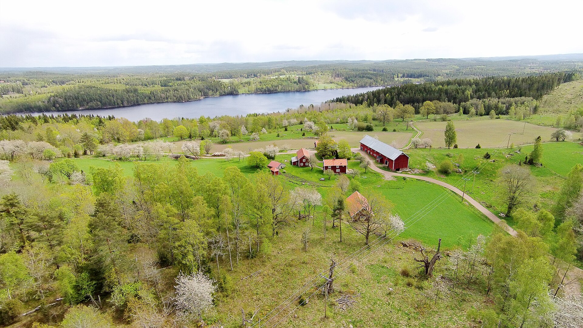
About Asbybacken
A family-oriented Swedish slope near Norrköping, serving as a reliable weekend escape for local downhill enthusiasts.
Highlights
- Local downhill runs
- Family-friendly slopes
- Weekend ski culture
- Scenic forest trails
Key Facts
- Altitude: 156m
- Top lift: 224m
- Ski pistes: 1.2km
- Ski lifts: 2
- Lakes nearby: 65
Ski Area
Weather and 10-day forecast for Asbybacken
- Today: -2 to 0 °C, snow, 0 h of sunshine
- Snowfall in the last 7 days: 2 cm
| Day | Min / max | Sky | Precipitation | Sunshine |
|---|---|---|---|---|
| jeu. 19 nov. | -2 / 0 °C | snow | dry | 0 h sun |
| ven. 20 nov. | -2 / 1 °C | overcast | dry | 1 h sun |
| sam. 21 nov. | -1 / 2 °C | partly cloudy | dry | 5 h sun |
| dim. 22 nov. | -1 / 1 °C | clear sky | dry | 7 h sun |
| lun. 23 nov. | -2 / 0 °C | drizzle | dry | 3 h sun |
| mar. 24 nov. | -2 / 0 °C | partly cloudy | dry | 4 h sun |
| mer. 25 nov. | -4 / 0 °C | partly cloudy | dry | 4 h sun |
| jeu. 26 nov. | -4 / 0 °C | partly cloudy | dry | 2 h sun |
| ven. 27 nov. | -3 / 1 °C | overcast | dry | 1 h sun |
| sam. 28 nov. | -3 / 2 °C | overcast | dry | 1 h sun |
Things to do in Asbybacken
Hikes nearby - Asbybacken (7)
7 curated hiking trails around Asbybacken, sourced from OpenStreetMap and enriched with distance, elevation gain and difficulty.
-
Norra Vi leden
-
Östgötaleden: Torpön
-
Östgötaleden: Bulsjögård-Ydregården
Östgötaleden är ett 120 mil långt nät av vandringsleder som huvudsakligen går genom Östergötland. Leden ansluter i nordöst till Sörmlandsleden och i söder till Sevedeleden, Tjustleden och Höglandsleden.
-
Östgötaleden: Ådala-Bulsjögård
-
Östgötaleden: Vassvikeberget-Ådala
-
Östgötaleden: Ydregården-Brantefall
-
Östgötaleden: Svenningeby-Visskvarn
Getting to Asbybacken
Door-to-door travel times as used by the MR. ALPS ranking.
- Nearest airport: Linköping City Airport (LPI), 62 km away, about 1h34 by road